
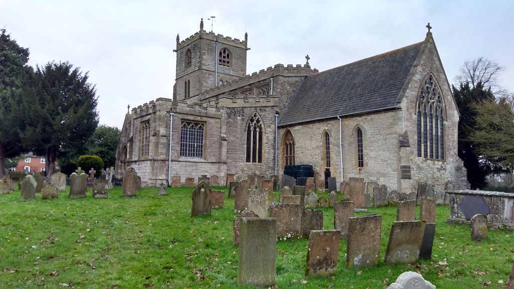
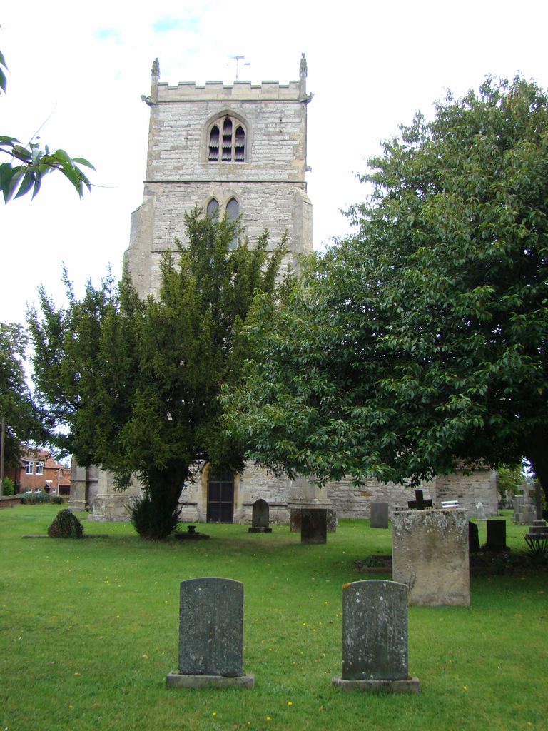
| Memorials | : | 2 |
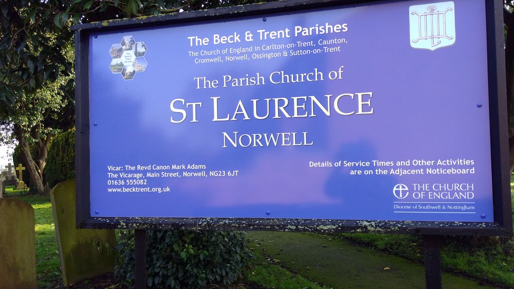
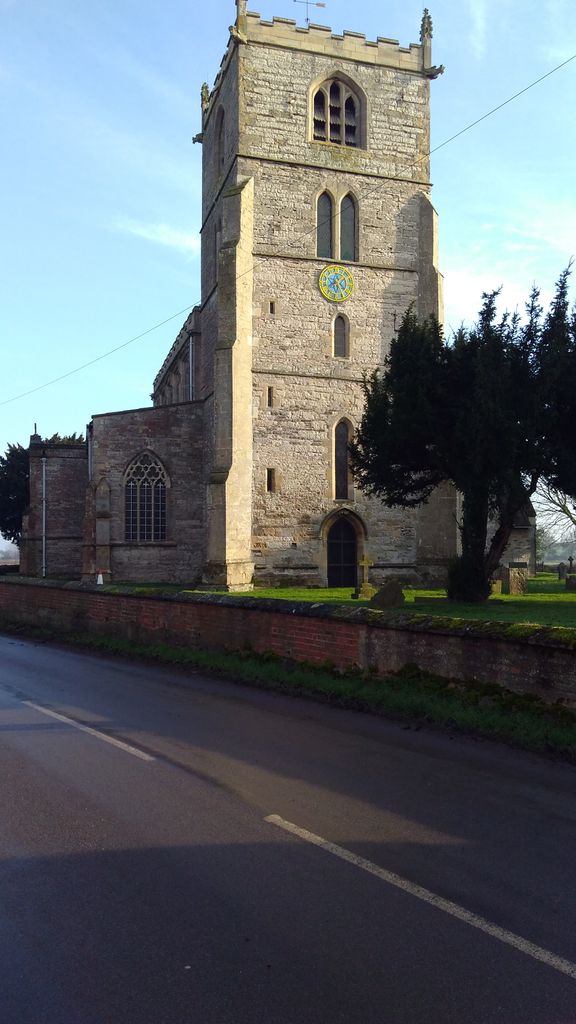
| Location | : | Norwell, Newark and Sherwood District, England |
| Coordinate | : | 53.1474220, -0.8418600 |
frequently asked questions (FAQ):
-
Where is St. Laurence Churchyard?
St. Laurence Churchyard is located at Norwell, Newark and Sherwood District ,Nottinghamshire ,England.
-
St. Laurence Churchyard cemetery's updated grave count on graveviews.com?
2 memorials
-
Where are the coordinates of the St. Laurence Churchyard?
Latitude: 53.1474220
Longitude: -0.8418600

Nearby Cemetories:
1. St Giles Churchyard
Cromwell, Newark and Sherwood District, England
Coordinate: 53.1449750, -0.8063850
2. St Mary's Churchyard
Carlton-on-Trent, Newark and Sherwood District, England
Coordinate: 53.1665950, -0.8058160
3. St Andrew Churchyard
Caunton, Newark and Sherwood District, England
Coordinate: 53.1322090, -0.8869640
4. St Wilfred Churchyard
South Muskham, Newark and Sherwood District, England
Coordinate: 53.1071300, -0.8156400
5. All Saints Churchyard
Sutton-on-Trent, Newark and Sherwood District, England
Coordinate: 53.1846400, -0.8032700
6. St. John the Baptist Churchyard
Collingham, Newark and Sherwood District, England
Coordinate: 53.1425550, -0.7656640
7. Sutton on Trent Cemetery
Sutton-on-Trent, Newark and Sherwood District, England
Coordinate: 53.1876600, -0.8028300
8. St Bartholomew Churchyard
Langford, Newark and Sherwood District, England
Coordinate: 53.1225760, -0.7743940
9. Collingham North All Saints Churchyard
Collingham, Newark and Sherwood District, England
Coordinate: 53.1490600, -0.7607900
10. Holy Trinity Churchyard
Besthorpe, Newark and Sherwood District, England
Coordinate: 53.1731600, -0.7664200
11. All Saints Churchyard
Weston, Newark and Sherwood District, England
Coordinate: 53.2035930, -0.8425490
12. St Wilfrid's Churchyard
Kelham, Newark and Sherwood District, England
Coordinate: 53.0901100, -0.8459700
13. All Saints Churchyard
Winthorpe, Newark and Sherwood District, England
Coordinate: 53.0983646, -0.7884366
14. St Radegund Churchyard
Maplebeck, Newark and Sherwood District, England
Coordinate: 53.1390300, -0.9385800
15. St Cecilla Churchyard
Girton, Newark and Sherwood District, England
Coordinate: 53.1865300, -0.7663100
16. Brotts Road Cemetery
Normanton-on-Trent, Bassetlaw District, England
Coordinate: 53.2092038, -0.8128064
17. St Matthew's Churchyard
Normanton-on-Trent, Bassetlaw District, England
Coordinate: 53.2124500, -0.8172600
18. St. Michael's Churchyard
Averham, Newark and Sherwood District, England
Coordinate: 53.0810080, -0.8549840
19. St Bartholomew Churchyard
Kneesall, Newark and Sherwood District, England
Coordinate: 53.1702400, -0.9479600
20. St Michael the Archangel Churchyard
Laxton, Newark and Sherwood District, England
Coordinate: 53.1958110, -0.9208850
21. St Helena Churchyard
South Scarle, Newark and Sherwood District, England
Coordinate: 53.1665600, -0.7326100
22. St. Mary Magdalene Church
Newark-on-Trent, Newark and Sherwood District, England
Coordinate: 53.0766983, -0.8085000
23. St Wilfrid's Churchyard
Marnham, Bassetlaw District, England
Coordinate: 53.2155000, -0.7933000
24. St Peter & St Paul's Churchyard
Upton, Newark and Sherwood District, England
Coordinate: 53.0805800, -0.9014900