| Memorials | : | 0 |
| Location | : | Bury, Metropolitan Borough of Bury, England |
| Coordinate | : | 53.5968361, -2.2932912 |
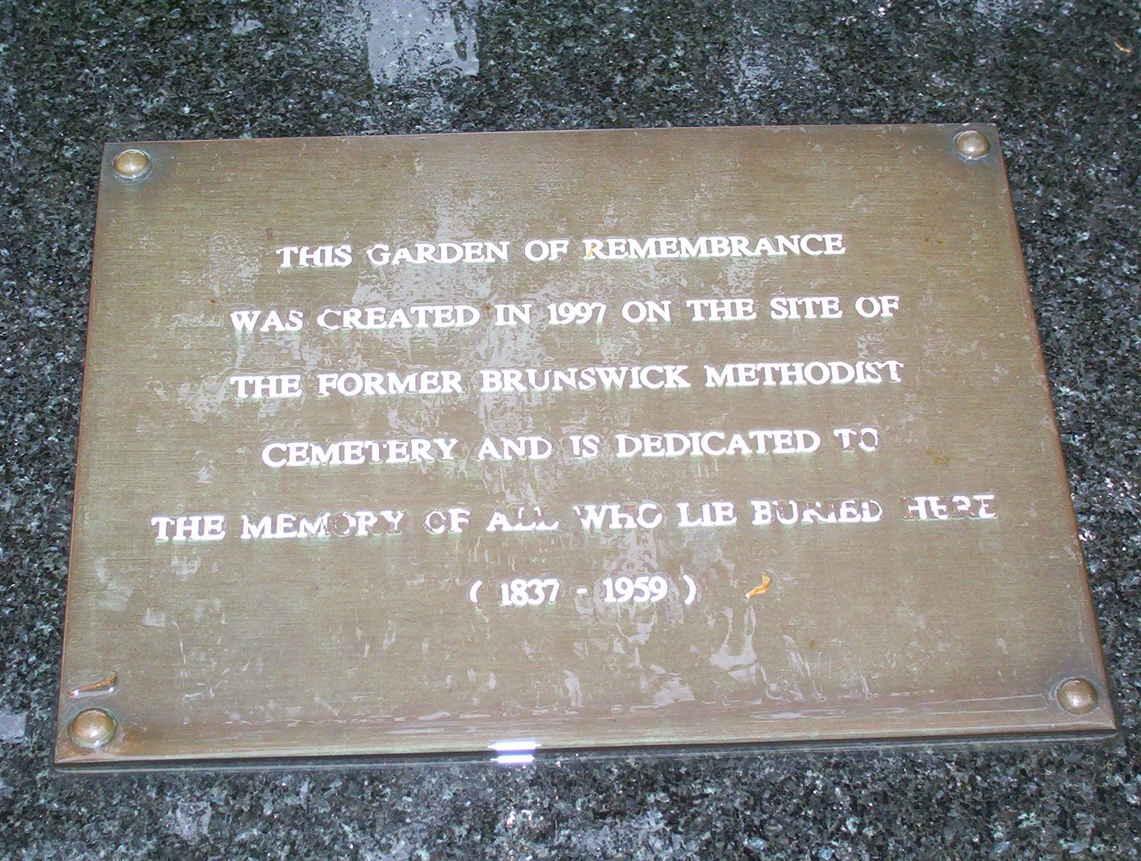
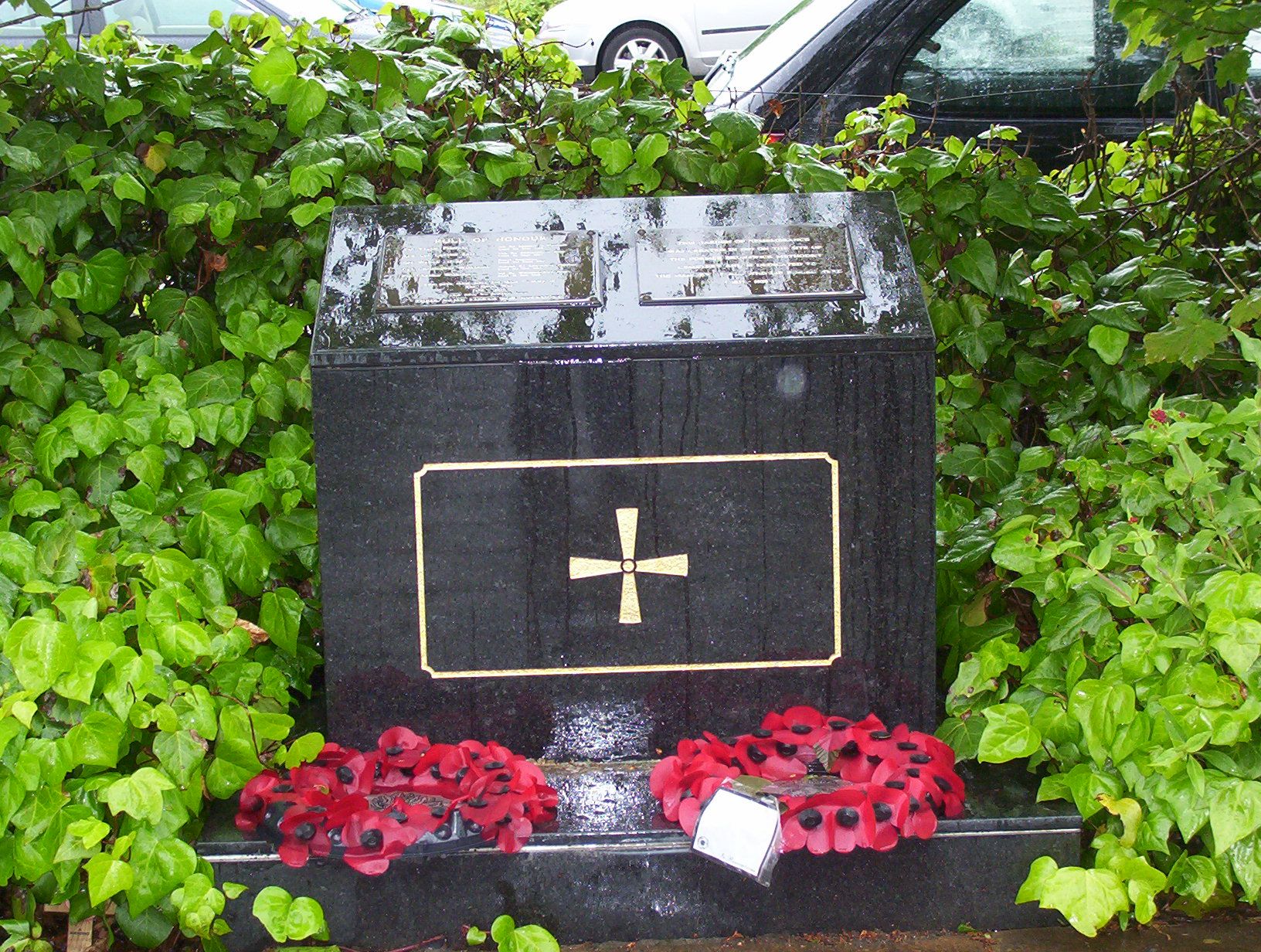
| Description | : | The Church was founded about 1835 and closed in 1967 and there was a school attached. The buildings were demolished about 1969. Some burials were removed from the cemetery and re-interred in Gig Lane Cemetery, Bury but not all graves were re-interred. The land was filled in with waste and then levelled. Woodfields Retail Park (located along side Peel Way - A56) now stands on the site. There is a small memorial garden in the centre of the car park which was created in 1997 and is dedicated to the memory of all who lie buried there (1837 - 1959) |
frequently asked questions (FAQ):
-
Where is Brunswick Methodist Cemetery?
Brunswick Methodist Cemetery is located at North Street Bury, Metropolitan Borough of Bury ,Greater Manchester , BL9 5BYEngland.
-
Brunswick Methodist Cemetery cemetery's updated grave count on graveviews.com?
0 memorials
-
Where are the coordinates of the Brunswick Methodist Cemetery?
Latitude: 53.5968361
Longitude: -2.2932912
Nearby Cemetories:
1. St John's Churchyard
Bury, Metropolitan Borough of Bury, England
Coordinate: 53.5954900, -2.2910100
2. All Saints Churchyard
Elton, Metropolitan Borough of Bury, England
Coordinate: 53.5965000, -2.3118000
3. St. James Churchyard
Bury, Metropolitan Borough of Bury, England
Coordinate: 53.5996770, -2.3214600
4. Bury Cemetery
Bury, Metropolitan Borough of Bury, England
Coordinate: 53.5794850, -2.2904870
5. St Paul Churchyard
Bury, Metropolitan Borough of Bury, England
Coordinate: 53.5789815, -2.2925926
6. Wellington Barracks Memorial Garden
Bury, Metropolitan Borough of Bury, England
Coordinate: 53.5882208, -2.3210890
7. Christ Church Churchyard
Walmersley, Metropolitan Borough of Bury, England
Coordinate: 53.6193360, -2.2964630
8. Christ Church Churchyard
Bury, Metropolitan Borough of Bury, England
Coordinate: 53.6194570, -2.2960140
9. Park Chapel
Walmersley, Metropolitan Borough of Bury, England
Coordinate: 53.6205060, -2.2958590
10. East Lancashire Crematorium
Radcliffe, Metropolitan Borough of Bury, England
Coordinate: 53.5726893, -2.3273050
11. St Georges Churchyard
Unsworth, Metropolitan Borough of Bury, England
Coordinate: 53.5668741, -2.2745340
12. Unsworth Weslyan Methodist Churchyard
Bury, Metropolitan Borough of Bury, England
Coordinate: 53.5667900, -2.2745100
13. St. John's Churchyard
Tottington, Metropolitan Borough of Bury, England
Coordinate: 53.6141180, -2.3400670
14. St. Mary's Churchyard
Radcliffe, Metropolitan Borough of Bury, England
Coordinate: 53.5644410, -2.3081470
15. Radcliffe Cemetery
Radcliffe, Metropolitan Borough of Bury, England
Coordinate: 53.5706240, -2.3294860
16. Rowlands Methodist Churchyard
Summerseat, Metropolitan Borough of Bury, England
Coordinate: 53.6294360, -2.3102920
17. St Anne Churchyard
Tottington, Metropolitan Borough of Bury, England
Coordinate: 53.6161499, -2.3409030
18. St. Andrew's Churchyard
Radcliffe, Metropolitan Borough of Bury, England
Coordinate: 53.5740731, -2.3377989
19. Greenmount United Reformed Churchyard
Greenmount, Metropolitan Borough of Bury, England
Coordinate: 53.6254581, -2.3381465
20. St. Thomas & St. John with St. Philip Churchyard
Radcliffe, Metropolitan Borough of Bury, England
Coordinate: 53.5625140, -2.3266770
21. Ainsworth Unitarian Chapel Cemetery
Metropolitan Borough of Bury, England
Coordinate: 53.5882700, -2.3590390
22. Christ Church Churchyard
Ainsworth, Metropolitan Borough of Bury, England
Coordinate: 53.5875690, -2.3589540
23. Ainsworth Methodist Churchyard
Ainsworth, Metropolitan Borough of Bury, England
Coordinate: 53.5877390, -2.3623810
24. St. John Parish Churchyard
Radcliffe, Metropolitan Borough of Bury, England
Coordinate: 53.5571400, -2.3206700


