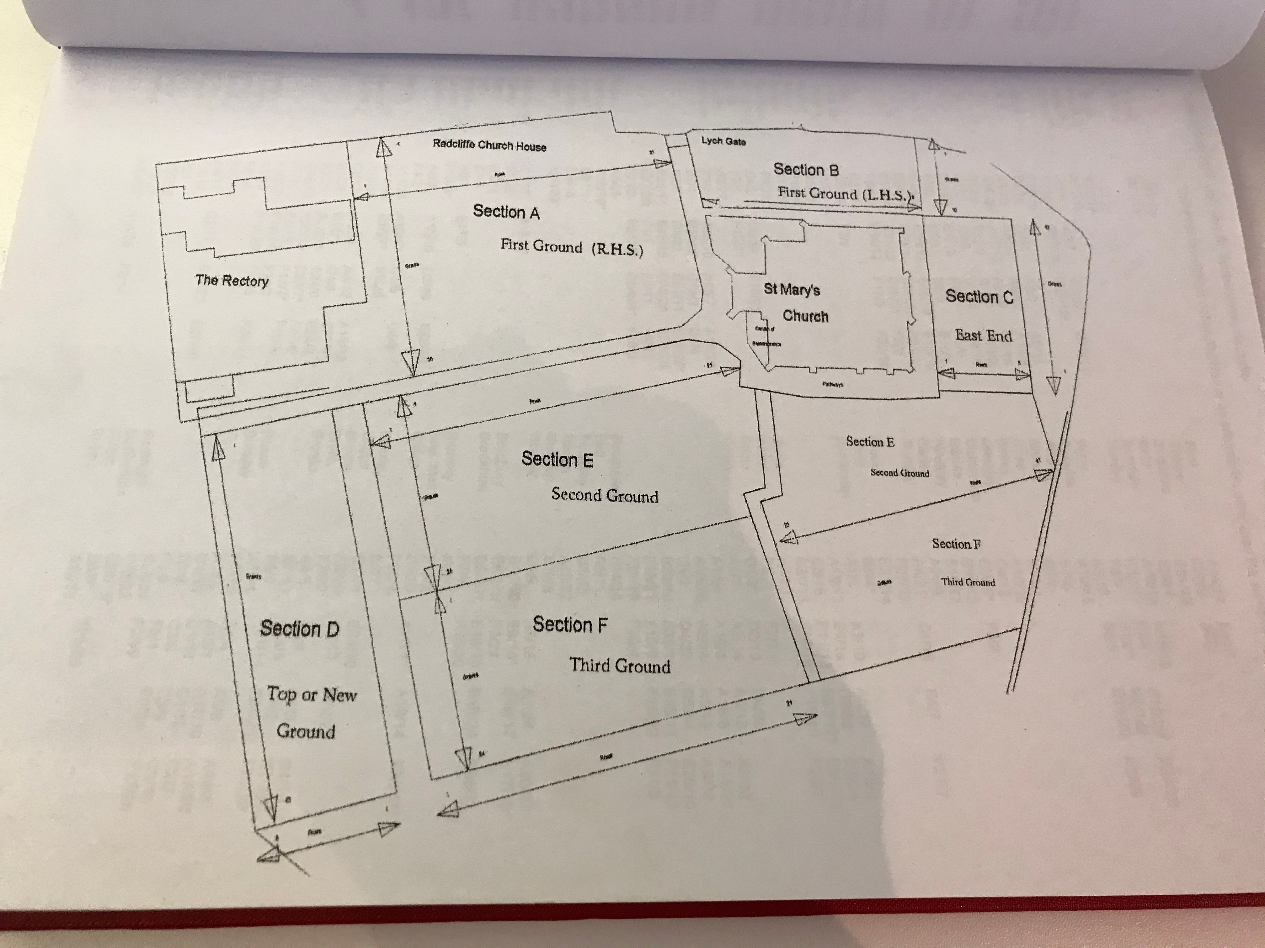
| Memorials | : | 1995 |
| Location | : | Radcliffe, Metropolitan Borough of Bury, England |
| Coordinate | : | 53.5644410, -2.3081470 |
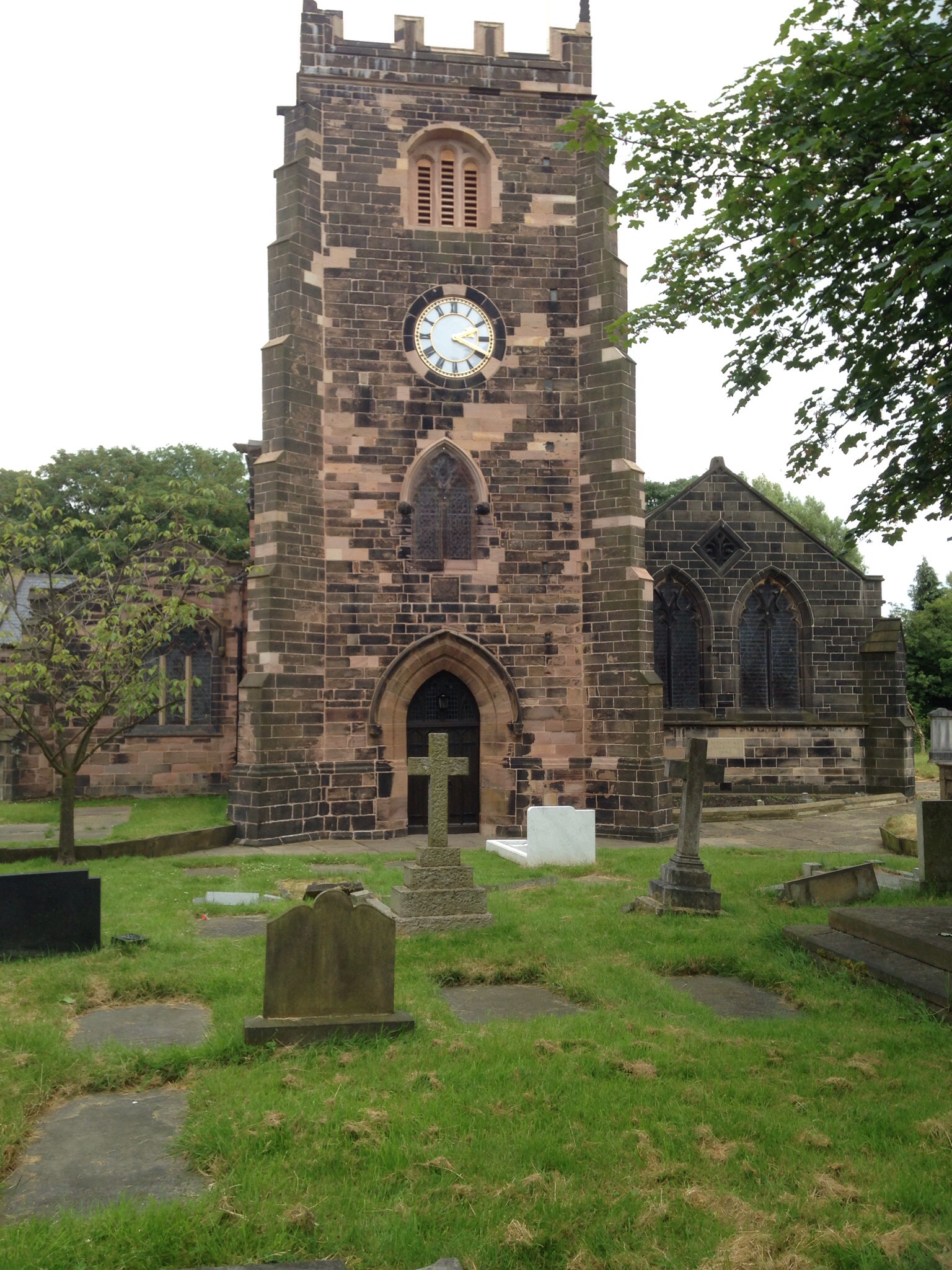
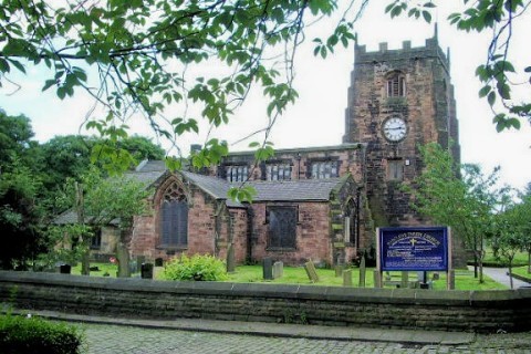
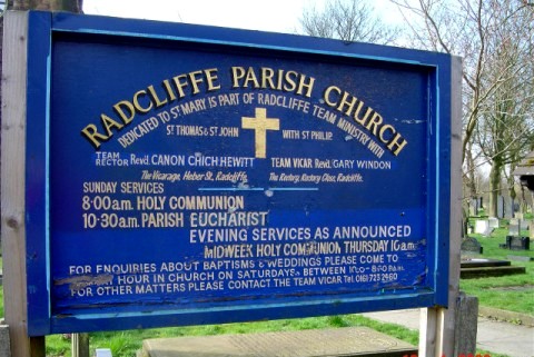
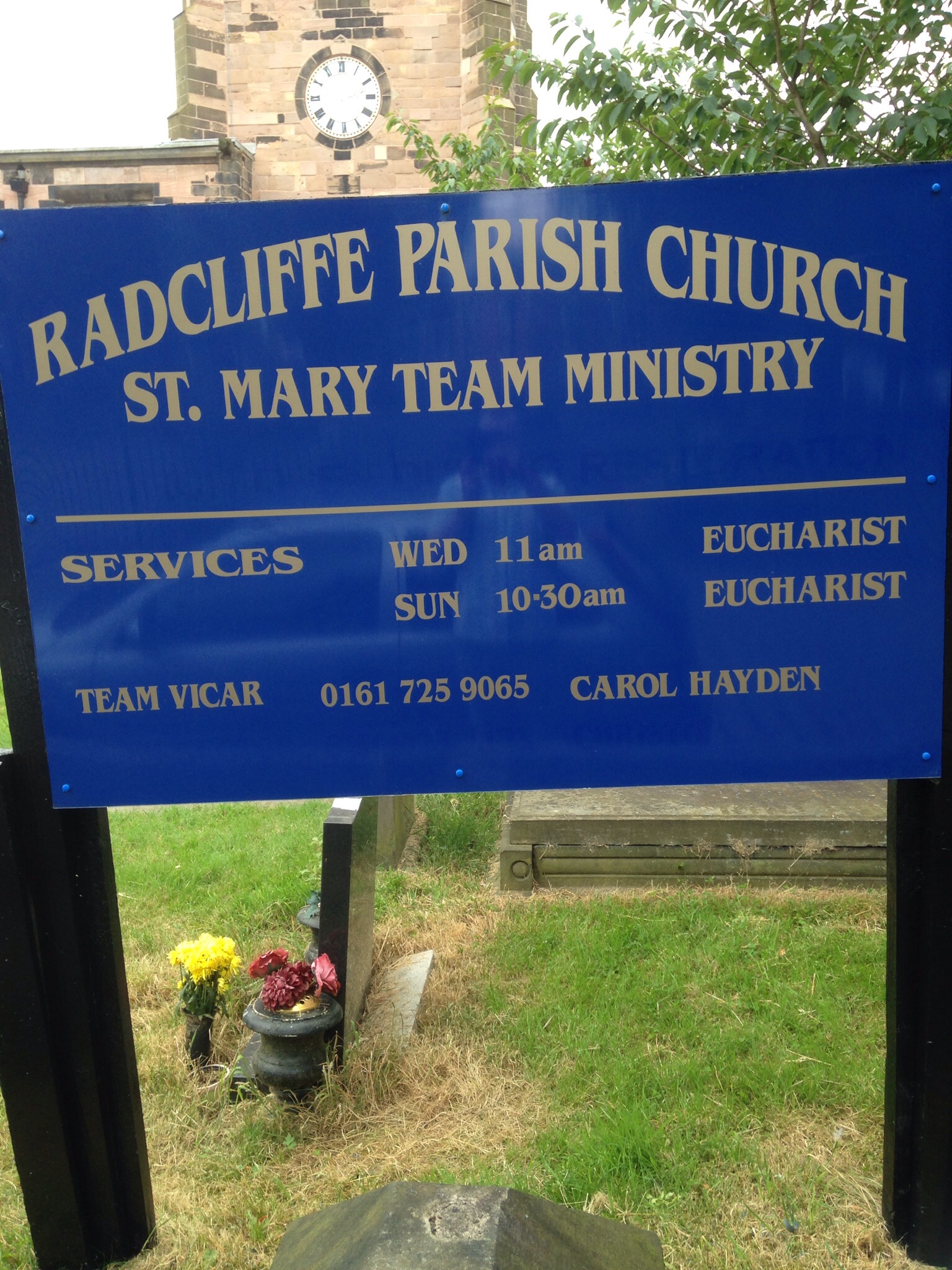
| Description | : | The Parish Church of St Mary, Radcliffe (grid reference SD795076) is a church in Bury, Greater Manchester, England. It was built during the 14th century, the tower being added in the 15th century. It was designated a Grade I listed building by English Heritage in 1966, under its former name of the Church of St Mary and St Bartholomew. In 1991, some local parishes were merged, and the church adopted its present name. The church roof is undergoing restoration. |
frequently asked questions (FAQ):
-
Where is St. Mary's Churchyard?
St. Mary's Churchyard is located at Radcliffe, Metropolitan Borough of Bury ,Greater Manchester ,England.
-
St. Mary's Churchyard cemetery's updated grave count on graveviews.com?
80 memorials
-
Where are the coordinates of the St. Mary's Churchyard?
Latitude: 53.5644410
Longitude: -2.3081470
Nearby Cemetories:
1. St. John Parish Churchyard
Radcliffe, Metropolitan Borough of Bury, England
Coordinate: 53.5571400, -2.3206700
2. St. Thomas & St. John with St. Philip Churchyard
Radcliffe, Metropolitan Borough of Bury, England
Coordinate: 53.5625140, -2.3266770
3. New Jerusalem Church Burial
Radcliffe, Metropolitan Borough of Bury, England
Coordinate: 53.5542680, -2.3174070
4. Stand United Reformed Church Burial Ground
Radcliffe, Metropolitan Borough of Bury, England
Coordinate: 53.5512300, -2.3140600
5. East Lancashire Crematorium
Radcliffe, Metropolitan Borough of Bury, England
Coordinate: 53.5726893, -2.3273050
6. Radcliffe Cemetery
Radcliffe, Metropolitan Borough of Bury, England
Coordinate: 53.5706240, -2.3294860
7. All Saints Churchyard Stand
Whitefield, Metropolitan Borough of Bury, England
Coordinate: 53.5501180, -2.2985570
8. St Paul Churchyard
Bury, Metropolitan Borough of Bury, England
Coordinate: 53.5789815, -2.2925926
9. Bury Cemetery
Bury, Metropolitan Borough of Bury, England
Coordinate: 53.5794850, -2.2904870
10. St. Andrew's Churchyard
Radcliffe, Metropolitan Borough of Bury, England
Coordinate: 53.5740731, -2.3377989
11. St Georges Churchyard
Unsworth, Metropolitan Borough of Bury, England
Coordinate: 53.5668741, -2.2745340
12. Unsworth Weslyan Methodist Churchyard
Bury, Metropolitan Borough of Bury, England
Coordinate: 53.5667900, -2.2745100
13. Manchester Reform Jewish Old Cemetery
Whitefield, Metropolitan Borough of Bury, England
Coordinate: 53.5442728, -2.2918894
14. Wellington Barracks Memorial Garden
Bury, Metropolitan Borough of Bury, England
Coordinate: 53.5882208, -2.3210890
15. All Saints Churchyard
Elton, Metropolitan Borough of Bury, England
Coordinate: 53.5965000, -2.3118000
16. St John's Churchyard
Bury, Metropolitan Borough of Bury, England
Coordinate: 53.5954900, -2.2910100
17. Brunswick Methodist Cemetery
Bury, Metropolitan Borough of Bury, England
Coordinate: 53.5968361, -2.2932912
18. Great Synagogue Cemetery
Prestwich, Metropolitan Borough of Bury, England
Coordinate: 53.5315510, -2.2845730
19. St Saviour churchyard
Ringley, Metropolitan Borough of Bolton, England
Coordinate: 53.5439030, -2.3576830
20. St. James Churchyard
Bury, Metropolitan Borough of Bury, England
Coordinate: 53.5996770, -2.3214600
21. Christ Church Churchyard
Little Lever, Metropolitan Borough of Bolton, England
Coordinate: 53.5598101, -2.3692188
22. St. Mary the Virgin Churchyard
Prestwich, Metropolitan Borough of Bury, England
Coordinate: 53.5294033, -2.2864891
23. King's Church Chapelyard
Little Lever, Metropolitan Borough of Bolton, England
Coordinate: 53.5625122, -2.3716833
24. Christ Church Churchyard
Ainsworth, Metropolitan Borough of Bury, England
Coordinate: 53.5875690, -2.3589540

