
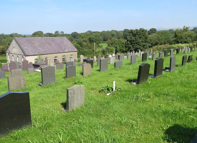
| Memorials | : | 9 |
| Location | : | Ponta Delgada Municipality, Portugal |
| Coordinate | : | 53.0434793, -4.3286231 |
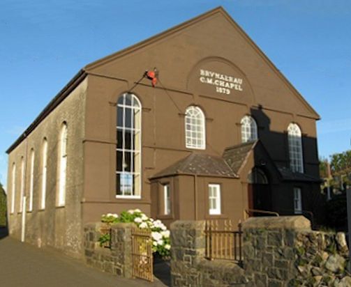
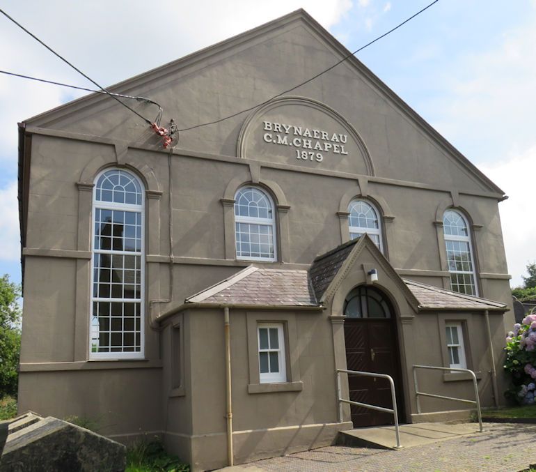
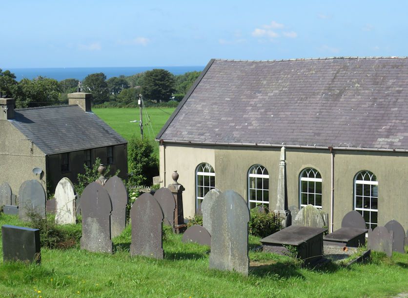
| Description | : | Brynaerau Methodist Chapel was built in 1805, enlarged in 1861 and rebuilt in 1879. The present chapel, dated 1879, is built in the Classical style of the gable-entry type. |
frequently asked questions (FAQ):
-
Where is Brynaerau C.M. Chapel?
Brynaerau C.M. Chapel is located at Pant Glas Road, Gwynedd, , Wales Ponta Delgada Municipality ,Azores Region , LL54 5ERPortugal.
-
Brynaerau C.M. Chapel cemetery's updated grave count on graveviews.com?
9 memorials
-
Where are the coordinates of the Brynaerau C.M. Chapel?
Latitude: 53.0434793
Longitude: -4.3286231
Nearby Cemetories:
1. Christ Church Churchyard
Wales
Coordinate: 53.3685370, -4.3674470
2. St. Mary's Parish Churchyard
Wales
Coordinate: 53.3899902, -4.5222215
3. Pentrefoelas Parish Church
Wales
Coordinate: 53.0488440, -3.6826890
4. Abertrinant
Wales
Coordinate: 52.6290830, -4.0111140
5. St James' Church Cemetery Prion
Wales
Coordinate: 53.1498340, -3.4175000
6. Pandyr Capel
Wales
Coordinate: 53.0432473, -3.3628675
7. St Saeran's Church Cemetery
Wales
Coordinate: 53.1536000, -3.3425400
8. Pontarfynach Trisant Chapelyard
Wales
Coordinate: 52.3992800, -4.0038300
9. St. Garmon's Churchyard
Wales
Coordinate: 53.0965000, -3.2100000
10. Aberffrwd Cemetery
Wales
Coordinate: 52.3916150, -3.9321050
11. St. Paul's Churchyard Rhosesmor Caerfallwch
Wales
Coordinate: 53.2096200, -3.1775400
12. St Bridget Churchyard
West Kirby, Metropolitan Borough of Wirral, England
Coordinate: 53.3687130, -3.1764480
13. Grange Cemetery
West Kirby, Metropolitan Borough of Wirral, England
Coordinate: 53.3751630, -3.1682120
14. Holy Trinity Graveyard
Hoylake, Metropolitan Borough of Wirral, England
Coordinate: 53.3956000, -3.1765900
15. St Bartholomew's Churchyard
Thurstaston, Metropolitan Borough of Wirral, England
Coordinate: 53.3485750, -3.1320070
16. St. Barnabas Churchyard
Hengoed, Shropshire Unitary Authority, England
Coordinate: 52.8883855, -3.0562708
17. Frankby Cemetery
Frankby, Metropolitan Borough of Wirral, England
Coordinate: 53.3715920, -3.1399600
18. St Peter's Churchyard
Heswall, Metropolitan Borough of Wirral, England
Coordinate: 53.3227400, -3.1036400
19. Heswall Cemetery
Heswall, Metropolitan Borough of Wirral, England
Coordinate: 53.3400420, -3.1102790
20. St. John the Divine
Frankby, Metropolitan Borough of Wirral, England
Coordinate: 53.3744200, -3.1330200
21. Preeshenlle United Reformed Churchyard
Gobowen, Shropshire Unitary Authority, England
Coordinate: 52.8991040, -3.0356200
22. British Cemetery
Mar del Plata, Partido de General Pueyrredón, Argentina
Coordinate: 53.0386111, -3.0052778
23. St Mary and St Helen Neston
Neston, Cheshire West and Chester Unitary Authority, England
Coordinate: 53.2892600, -3.0640600
24. Saint Winefride Churchyard
Little Neston, Cheshire West and Chester Unitary Authority, England
Coordinate: 53.2849200, -3.0592100