
| Memorials | : | 1 |
| Location | : | Bulford, Wiltshire Unitary Authority, England |
| Coordinate | : | 51.1935931, -1.7629870 |
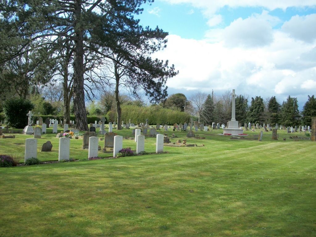
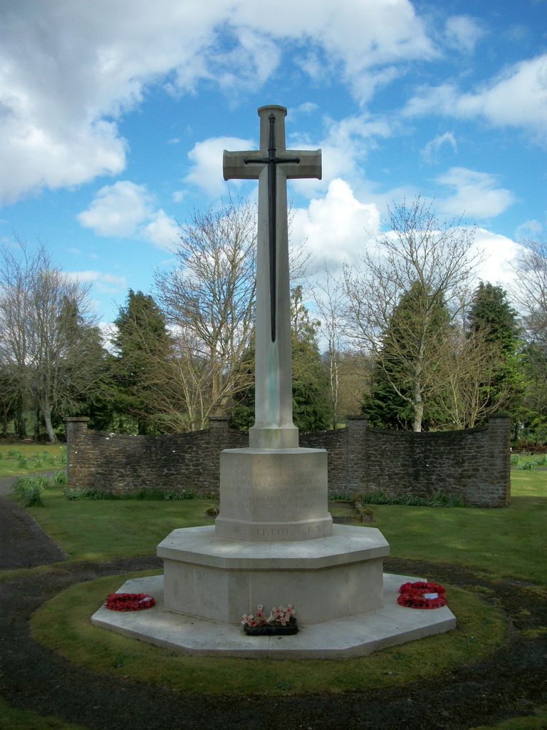
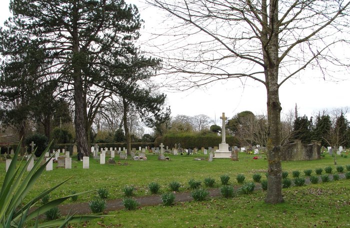
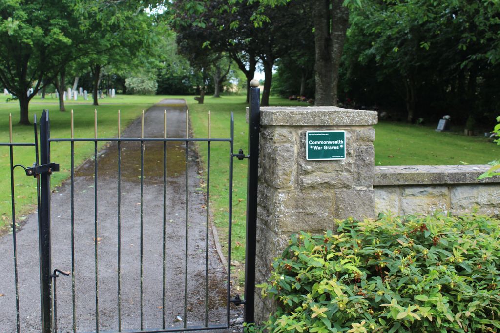
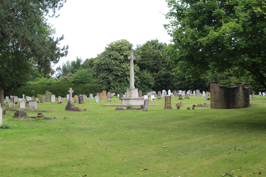
| Description | : | Many of the 71 First World War burials in Bulford Church Cemetery were made from Bulford Camp, one of the military training grounds directly associated with Salisbury Plain. The cemetery also contains three Second World War burials. |
frequently asked questions (FAQ):
-
Where is Bulford Church Cemetery?
Bulford Church Cemetery is located at Bulford, Wiltshire Unitary Authority ,Wiltshire ,England.
-
Bulford Church Cemetery cemetery's updated grave count on graveviews.com?
1 memorials
-
Where are the coordinates of the Bulford Church Cemetery?
Latitude: 51.1935931
Longitude: -1.7629870
Nearby Cemetories:
1. All Saints Churchyard
Durrington, Wiltshire Unitary Authority, England
Coordinate: 51.2027460, -1.7766740
2. Durrington Cemetery
Durrington, Wiltshire Unitary Authority, England
Coordinate: 51.2064970, -1.7827420
3. St Mary & St Melor Churchyard
Amesbury, Wiltshire Unitary Authority, England
Coordinate: 51.1717890, -1.7841730
4. Amesbury Cemetery
Amesbury, Wiltshire Unitary Authority, England
Coordinate: 51.1697730, -1.7869410
5. Stockport Avenue Cemetery
Amesbury, Wiltshire Unitary Authority, England
Coordinate: 51.1576900, -1.7644900
6. St John the Baptist
Allington, Wiltshire Unitary Authority, England
Coordinate: 51.1533200, -1.7094250
7. St. Nicholas Churchyard
Cholderton, Wiltshire Unitary Authority, England
Coordinate: 51.1811320, -1.6764660
8. St Andrews Churchyard
Allington, Wiltshire Unitary Authority, England
Coordinate: 51.1459710, -1.7149400
9. Saint Andrew's Churchyard
Durnford, Wiltshire Unitary Authority, England
Coordinate: 51.1438930, -1.8063690
10. St Peter Churchyard
Shipton Bellinger, Test Valley Borough, England
Coordinate: 51.2076010, -1.6681930
11. St Michael and All Angels Churchyard
Quarley, Test Valley Borough, England
Coordinate: 51.1944330, -1.6109670
12. St Leonard Churchyard
Grateley, Test Valley Borough, England
Coordinate: 51.1764630, -1.6065760
13. St Peter and St Paul Churchyard
Kimpton, Test Valley Borough, England
Coordinate: 51.2180470, -1.5988270
14. Kimpton Cemetery
Kimpton, Test Valley Borough, England
Coordinate: 51.2185900, -1.5970400
15. St Peter and St Paul Churchyard
Thruxton, Test Valley Borough, England
Coordinate: 51.2087890, -1.5875460
16. St Peter Churchyard
Over Wallop, Test Valley Borough, England
Coordinate: 51.1428400, -1.5950900
17. St Nicholas Churchyard
Fyfield, Test Valley Borough, England
Coordinate: 51.2159200, -1.5790800
18. St Mary Churchyard
Amport, Test Valley Borough, England
Coordinate: 51.1962480, -1.5728800
19. St Mary's Churchyard
Collingbourne Kingston, Wiltshire Unitary Authority, England
Coordinate: 51.3008400, -1.6583900
20. Bemerton St John
Bemerton, Wiltshire Unitary Authority, England
Coordinate: 51.0759324, -1.8333699
21. St Andrew Churchyard
Bemerton, Wiltshire Unitary Authority, England
Coordinate: 51.0740580, -1.8252960
22. St Mary Churchyard
Monxton, Test Valley Borough, England
Coordinate: 51.1995280, -1.5537910
23. St. Peter's Churchyard
Appleshaw, Test Valley Borough, England
Coordinate: 51.2395400, -1.5665400
24. St. Michael and All Angels Church Cemetery
Weyhill, Test Valley Borough, England
Coordinate: 51.2185860, -1.5478610