
| Memorials | : | 0 |
| Location | : | Allington, Wiltshire Unitary Authority, England |
| Coordinate | : | 51.1459710, -1.7149400 |
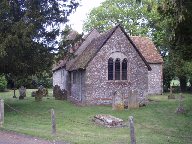
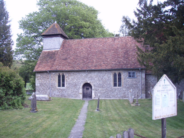
| Description | : | Located just off the A303 in Wiltshire. |
frequently asked questions (FAQ):
-
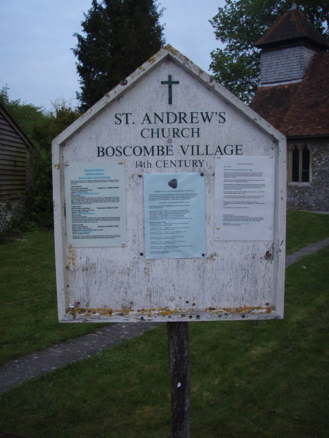
Where is St Andrews Churchyard?
St Andrews Churchyard is located at Allington, Wiltshire Unitary Authority ,Wiltshire ,England.
-
St Andrews Churchyard cemetery's updated grave count on graveviews.com?
0 memorials
-
Where are the coordinates of the St Andrews Churchyard?
Latitude: 51.1459710
Longitude: -1.7149400
Nearby Cemetories:
1. St John the Baptist
Allington, Wiltshire Unitary Authority, England
Coordinate: 51.1533200, -1.7094250
2. Stockport Avenue Cemetery
Amesbury, Wiltshire Unitary Authority, England
Coordinate: 51.1576900, -1.7644900
3. St. Nicholas Churchyard
Cholderton, Wiltshire Unitary Authority, England
Coordinate: 51.1811320, -1.6764660
4. St Mary & St Melor Churchyard
Amesbury, Wiltshire Unitary Authority, England
Coordinate: 51.1717890, -1.7841730
5. Amesbury Cemetery
Amesbury, Wiltshire Unitary Authority, England
Coordinate: 51.1697730, -1.7869410
6. Bulford Church Cemetery
Bulford, Wiltshire Unitary Authority, England
Coordinate: 51.1935931, -1.7629870
7. Saint Andrew's Churchyard
Durnford, Wiltshire Unitary Authority, England
Coordinate: 51.1438930, -1.8063690
8. St Peter Churchyard
Shipton Bellinger, Test Valley Borough, England
Coordinate: 51.2076010, -1.6681930
9. All Saints Churchyard
Durrington, Wiltshire Unitary Authority, England
Coordinate: 51.2027460, -1.7766740
10. Durrington Cemetery
Durrington, Wiltshire Unitary Authority, England
Coordinate: 51.2064970, -1.7827420
11. St Leonard Churchyard
Grateley, Test Valley Borough, England
Coordinate: 51.1764630, -1.6065760
12. St Peter Churchyard
Over Wallop, Test Valley Borough, England
Coordinate: 51.1428400, -1.5950900
13. St Michael and All Angels Churchyard
Quarley, Test Valley Borough, England
Coordinate: 51.1944330, -1.6109670
14. Broad Chalke Congregational Chapelyard
Broad Chalke, Wiltshire Unitary Authority, England
Coordinate: 51.0523805, -1.7071162
15. St Andrew Churchyard
Nether Wallop, Test Valley Borough, England
Coordinate: 51.1260580, -1.5672580
16. St. Peter's Churchyard
Britford, Wiltshire Unitary Authority, England
Coordinate: 51.0551650, -1.7689880
17. St Andrew Churchyard
Bemerton, Wiltshire Unitary Authority, England
Coordinate: 51.0740580, -1.8252960
18. St Peter and St Paul Churchyard
Thruxton, Test Valley Borough, England
Coordinate: 51.2087890, -1.5875460
19. Bemerton St John
Bemerton, Wiltshire Unitary Authority, England
Coordinate: 51.0759324, -1.8333699
20. St Mary Churchyard
Amport, Test Valley Borough, England
Coordinate: 51.1962480, -1.5728800
21. St Peter and St Paul Churchyard
Kimpton, Test Valley Borough, England
Coordinate: 51.2180470, -1.5988270
22. St. Peter's Churchyard
West Tytherley, Test Valley Borough, England
Coordinate: 51.0662240, -1.6100910
23. Kimpton Cemetery
Kimpton, Test Valley Borough, England
Coordinate: 51.2185900, -1.5970400
24. Broughton Cemetery
Broughton, Test Valley Borough, England
Coordinate: 51.0963729, -1.5671721