
| Memorials | : | 2 |
| Location | : | Burnt House, Ritchie County, USA |
| Coordinate | : | 39.0487301, -80.9904470 |
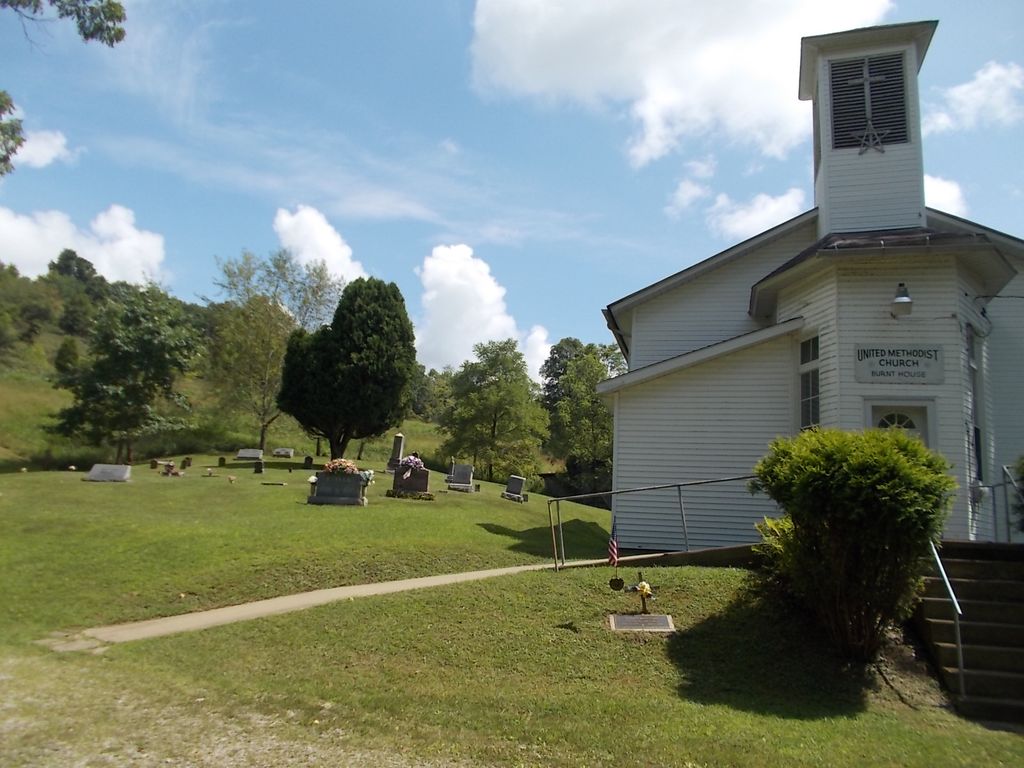
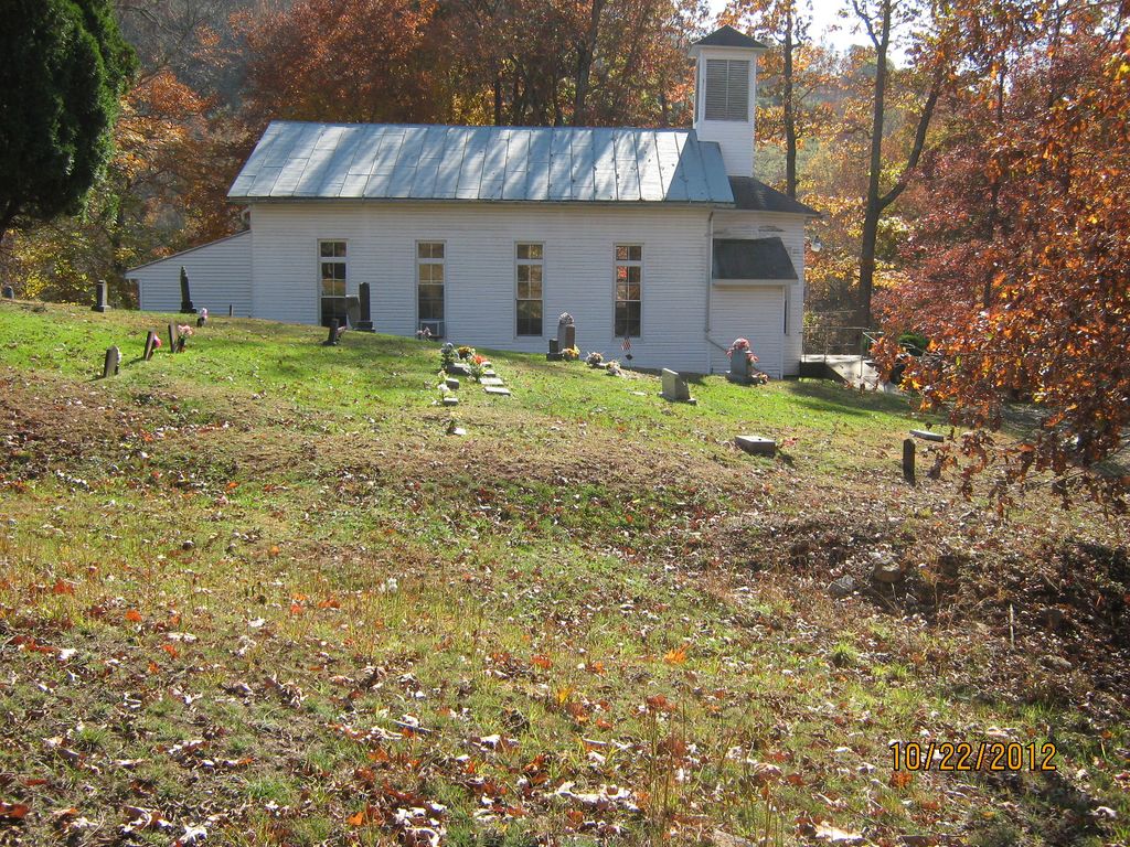
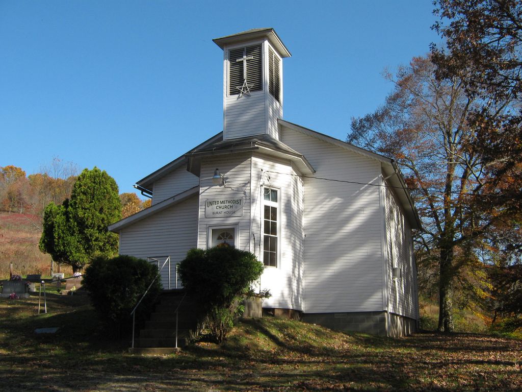
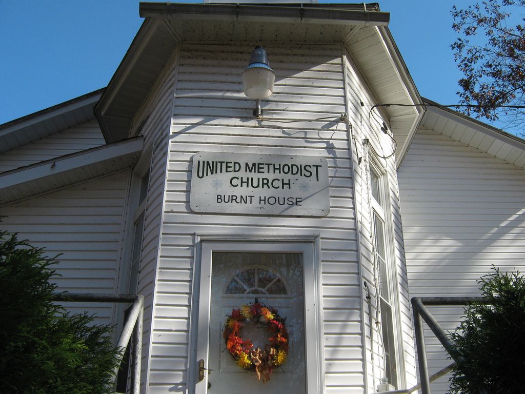
| Description | : | There are two Burnt House Cemeteries in Ritchie County, West Virginia. This cemetery is at Burnt House, West Virginia at the Burnt House United Methodist Church on State Route 47 at the intersection with Route 47/15. The other Burnthouse Cemetery is north of Pennsboro, West Virginia, and is along State Route 74 at the intersection with Route 6. DO NOT COMBINE THESE CEMETERIES DO NOT COMBINE THESE CEMETERIES |
frequently asked questions (FAQ):
-
Where is Burnt House United Methodist Church Cemetery?
Burnt House United Methodist Church Cemetery is located at Burnt House, Ritchie County ,West Virginia ,USA.
-
Burnt House United Methodist Church Cemetery cemetery's updated grave count on graveviews.com?
2 memorials
-
Where are the coordinates of the Burnt House United Methodist Church Cemetery?
Latitude: 39.0487301
Longitude: -80.9904470
Nearby Cemetories:
1. Goff Cemetery
Burnt House, Ritchie County, USA
Coordinate: 39.0361530, -80.9774200
2. N.H. Frederick Cemetery
Burnt House, Ritchie County, USA
Coordinate: 39.0525520, -81.0169120
3. Britton Cemetery
Hazelgreen, Ritchie County, USA
Coordinate: 39.0841500, -80.9894000
4. Hazelgreen Cemetery
Ritchie County, USA
Coordinate: 39.0853004, -81.0021973
5. Roseville Church Cemetery
Gilmer County, USA
Coordinate: 39.0207880, -80.9547600
6. New Mount Olive Cemetery
Burnt House, Ritchie County, USA
Coordinate: 39.0446100, -80.9340200
7. Mount Liberty Cemetery
Tanner, Gilmer County, USA
Coordinate: 39.0086390, -80.9616440
8. Reeves Cemetery
Goffs, Ritchie County, USA
Coordinate: 39.0882988, -81.0246964
9. Hatfield Cemetery
Ritchie County, USA
Coordinate: 39.0853004, -81.0302963
10. Hardman Chapel Cemetery
Harrisville, Ritchie County, USA
Coordinate: 39.0582000, -81.0517400
11. Mount Olive Cemetery
Burnt House, Ritchie County, USA
Coordinate: 39.0531006, -80.9257965
12. Bethany Cemetery
Harrisville, Ritchie County, USA
Coordinate: 39.0956700, -81.0219500
13. Frederick Cemetery
Fonzo, Ritchie County, USA
Coordinate: 39.0766983, -81.0560989
14. Pine Low Gap Cemetery
Burnt House, Ritchie County, USA
Coordinate: 39.1006400, -80.9562200
15. Smith Chapel Cemetery
Prunty, Ritchie County, USA
Coordinate: 39.1121700, -80.9995900
16. Cooper Family Cemetery
Tanner, Gilmer County, USA
Coordinate: 39.0083050, -80.9255920
17. Pleasant Hill Cemetery
Berea, Ritchie County, USA
Coordinate: 39.1162100, -80.9682300
18. Spruce Creek Cemetery
Auburn, Ritchie County, USA
Coordinate: 39.0807300, -80.9083700
19. Cooper Chapel Cemetery
Tanner, Gilmer County, USA
Coordinate: 39.0057800, -80.9161500
20. Trace Fork United Methodist Church Cemetery
Gilmer County, USA
Coordinate: 38.9743580, -81.0005560
21. Tanner Baptist Church Cemetery
Gilmer County, USA
Coordinate: 38.9814310, -80.9480630
22. Cunningham Cemetery
Ritchie County, USA
Coordinate: 39.0856018, -81.0761032
23. Good Shepherd Catholic Cemetery
Tanner, Gilmer County, USA
Coordinate: 38.9811830, -80.9447050
24. Nobe Cemetery
Nobe, Calhoun County, USA
Coordinate: 38.9813000, -81.0380300