
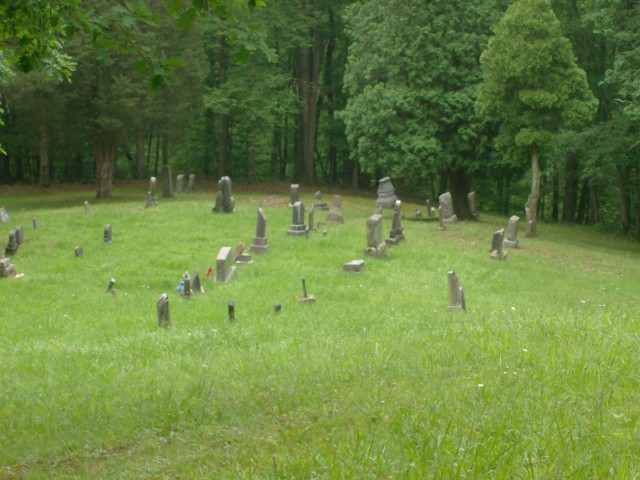
| Memorials | : | 5 |
| Location | : | Gilmer County, USA |
| Coordinate | : | 38.9743580, -81.0005560 |
frequently asked questions (FAQ):
-
Where is Trace Fork United Methodist Church Cemetery?
Trace Fork United Methodist Church Cemetery is located at Gilmer County ,West Virginia ,USA.
-
Trace Fork United Methodist Church Cemetery cemetery's updated grave count on graveviews.com?
4 memorials
-
Where are the coordinates of the Trace Fork United Methodist Church Cemetery?
Latitude: 38.9743580
Longitude: -81.0005560
Nearby Cemetories:
1. Nobe Cemetery
Nobe, Calhoun County, USA
Coordinate: 38.9813000, -81.0380300
2. Ayers Cemetery
Latonia, Gilmer County, USA
Coordinate: 38.9422222, -81.0058333
3. Chestnut Grove Baptist Church Cemetery
Gilmer County, USA
Coordinate: 38.9340420, -80.9885860
4. Tanner Baptist Church Cemetery
Gilmer County, USA
Coordinate: 38.9814310, -80.9480630
5. Good Shepherd Catholic Cemetery
Tanner, Gilmer County, USA
Coordinate: 38.9811830, -80.9447050
6. Three Poplar Cemetery
Glenville, Gilmer County, USA
Coordinate: 38.9628600, -80.9445500
7. Mount Liberty Cemetery
Tanner, Gilmer County, USA
Coordinate: 39.0086390, -80.9616440
8. Job's Temple Cemetery
Glenville, Gilmer County, USA
Coordinate: 38.9322220, -80.9618810
9. Pleasant Hill Cemetery
Grantsville, Calhoun County, USA
Coordinate: 38.9508018, -81.0627975
10. Big Springs Cemetery
Big Springs, Calhoun County, USA
Coordinate: 38.9850006, -81.0708008
11. Roseville Church Cemetery
Gilmer County, USA
Coordinate: 39.0207880, -80.9547600
12. Knight Cemetery
Big Springs, Calhoun County, USA
Coordinate: 38.9894000, -81.0800000
13. Goff Cemetery
Burnt House, Ritchie County, USA
Coordinate: 39.0361530, -80.9774200
14. Cooper Family Cemetery
Tanner, Gilmer County, USA
Coordinate: 39.0083050, -80.9255920
15. Pisgah United Methodist Church Cemetery
De Kalb, Gilmer County, USA
Coordinate: 38.9425160, -80.9219560
16. Broomstick Cemetery
Calhoun County, USA
Coordinate: 38.9668999, -81.0911026
17. Cooper Chapel Cemetery
Tanner, Gilmer County, USA
Coordinate: 39.0057800, -80.9161500
18. Bethel-Bennett-Burns Cemetery
Grantsville, Calhoun County, USA
Coordinate: 38.9022000, -81.0153000
19. Burnt House United Methodist Church Cemetery
Burnt House, Ritchie County, USA
Coordinate: 39.0487301, -80.9904470
20. Riddle Cemetery
Gilmer County, USA
Coordinate: 38.9547005, -80.9049988
21. Wilson Cemetery
Lucerne, Gilmer County, USA
Coordinate: 38.9744900, -80.9013700
22. N.H. Frederick Cemetery
Burnt House, Ritchie County, USA
Coordinate: 39.0525520, -81.0169120
23. Holbert Cemetery
Gilmer County, USA
Coordinate: 38.9686012, -80.8944016
24. Fluharty Cemetery
Calhoun County, USA
Coordinate: 39.0147018, -81.0982971