
| Memorials | : | 0 |
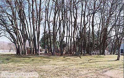
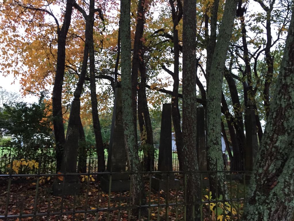
| Location | : | Cherry Lane Acres, Rutherford County, USA |
| Coordinate | : | 35.9305992, -86.3989029 |
frequently asked questions (FAQ):
-
Where is Burrus Cemetery?
Burrus Cemetery is located at Cherry Lane Acres, Rutherford County ,Tennessee ,USA.
-
Burrus Cemetery cemetery's updated grave count on graveviews.com?
0 memorials
-
Where are the coordinates of the Burrus Cemetery?
Latitude: 35.9305992
Longitude: -86.3989029
Nearby Cemetories:
1. Ayers Family Farm Cemetery
Rutherford County, USA
Coordinate: 35.9200500, -86.3671900
2. Johns Cemetery
Rutherford County, USA
Coordinate: 35.9589005, -86.3871994
3. Yandell Cemetery
Compton, Rutherford County, USA
Coordinate: 35.9199982, -86.3606033
4. Tucker Cemetery
Florence, Rutherford County, USA
Coordinate: 35.9124985, -86.4555969
5. Bell Cemetery
Florence, Rutherford County, USA
Coordinate: 35.9019012, -86.4571991
6. Harris Cemetery
Rutherford County, USA
Coordinate: 35.9852982, -86.4227982
7. Emery Cemetery
Compton, Rutherford County, USA
Coordinate: 35.9057999, -86.3336029
8. Republican Grove Cemetery
Compton, Rutherford County, USA
Coordinate: 35.9013890, -86.3333460
9. Johns Cemetery
Rutherford County, USA
Coordinate: 35.9743996, -86.3439026
10. Boyd Cemetery
Compton, Rutherford County, USA
Coordinate: 35.8866997, -86.3356018
11. Johns Cemetery
Rutherford County, USA
Coordinate: 35.9578018, -86.3214035
12. Sikes Cemetery
Florence, Rutherford County, USA
Coordinate: 35.9319000, -86.4847031
13. Compton Cemetery
Compton, Rutherford County, USA
Coordinate: 35.9035988, -86.3161011
14. Bone Cemetery (Defunct)
Rutherford County, USA
Coordinate: 35.9852982, -86.4597015
15. Hicks Cemetery
Rutherford County, USA
Coordinate: 35.9077988, -86.4925003
16. Ward Cemetery
Hales Camp, Rutherford County, USA
Coordinate: 35.9853420, -86.4732000
17. Howse Cemetery
Rutherford County, USA
Coordinate: 35.8893900, -86.4953800
18. Baugh Cemetery
Blackman, Rutherford County, USA
Coordinate: 35.9067001, -86.5056000
19. Horway Cemetery
Rutherford County, USA
Coordinate: 35.9935989, -86.4792023
20. Alsup Cemetery
Wilson County, USA
Coordinate: 36.0027950, -86.3293580
21. Comer Family Cemetery
Wilson County, USA
Coordinate: 35.9996200, -86.3199590
22. Adkerson Cemetery (Defunct)
Jefferson Springs, Rutherford County, USA
Coordinate: 36.0069008, -86.4708023
23. Garrett Cemetery
Jefferson Springs, Rutherford County, USA
Coordinate: 36.0147018, -86.4578018
24. DeLozier Cemetery
Rutherford County, USA
Coordinate: 36.0271870, -86.3913760