
| Memorials | : | 0 |
| Location | : | Gasconade County, USA |
| Coordinate | : | 38.4785040, -91.5857650 |
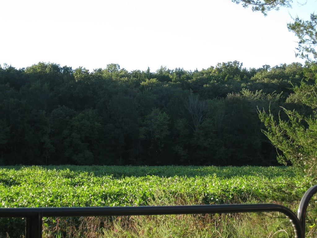
| Description | : | The cemetery is located 2.7 miles east of the intersection of Road A and Hwy. 50, on a bluff on the south side of Hwy 50 and Pin Oak Creek. The cemetery is roughly 700 feet south of Hwy 50. To get to the cemetery you turn right on Crows Holler Rd (the name of the road according to Google Maps) and just after the second slab creek crossing there is a gate on the right side. From this gate walk around the bean field to its north side, i.e. walk north along the east... Read More |
frequently asked questions (FAQ):
-
Where is Buschmann Cemetery?
Buschmann Cemetery is located at Gasconade County ,Missouri ,USA.
-
Buschmann Cemetery cemetery's updated grave count on graveviews.com?
0 memorials
-
Where are the coordinates of the Buschmann Cemetery?
Latitude: 38.4785040
Longitude: -91.5857650
Nearby Cemetories:
1. Hoffmann Cemetery
Bay, Gasconade County, USA
Coordinate: 38.4999850, -91.5779110
2. Perkins Family Plot
Mount Sterling, Gasconade County, USA
Coordinate: 38.4690000, -91.6230000
3. Atkins Cemetery
Bay, Gasconade County, USA
Coordinate: 38.4818993, -91.5453033
4. Mount Sterling Cemetery
Gasconade County, USA
Coordinate: 38.4864006, -91.6343994
5. Giedinghagen Cemetery
Mount Sterling, Gasconade County, USA
Coordinate: 38.4865050, -91.6355790
6. Laubert Cemetery
Gasconade County, USA
Coordinate: 38.4338989, -91.5999985
7. Bay Bethel Cemetery
Bay, Gasconade County, USA
Coordinate: 38.5059970, -91.5345240
8. Bumper Cemetery
Gasconade County, USA
Coordinate: 38.4516983, -91.6393967
9. Drusch Cemetery
Gasconade County, USA
Coordinate: 38.4254700, -91.5998900
10. Butte Cemetery
Osage County, USA
Coordinate: 38.4789009, -91.6549988
11. Saint Pauls Cemetery
Gasconade County, USA
Coordinate: 38.5139008, -91.5214005
12. Schneider Cemetery
Gasconade County, USA
Coordinate: 38.4310989, -91.6436005
13. Haynes Cemetery
Osage County, USA
Coordinate: 38.4575005, -91.6658020
14. Jenkins Cemetery
Gasconade County, USA
Coordinate: 38.4113998, -91.5828018
15. Leach Baker Cemetery
Osage County, USA
Coordinate: 38.4338989, -91.6568985
16. Cox Cemetery
Osage County, USA
Coordinate: 38.4494019, -91.6697006
17. Karschnick Cemetery
Osage County, USA
Coordinate: 38.5208015, -91.6622009
18. Salem Reformed Cemetery
Hope, Osage County, USA
Coordinate: 38.5376930, -91.6511993
19. Useful Cemetery
Osage County, USA
Coordinate: 38.4513960, -91.6801960
20. Baecker Cemetery
Gasconade County, USA
Coordinate: 38.5503100, -91.6311300
21. Salem Presbyterian Cemetery
Hope, Osage County, USA
Coordinate: 38.5407715, -91.6561356
22. Lange Cemetery
Osage County, USA
Coordinate: 38.4099998, -91.6461029
23. Pilgrim Lutheran Church Cemetery
Freedom, Osage County, USA
Coordinate: 38.4636500, -91.6923200
24. Cooper Family Cemetery
Cooper Hill, Osage County, USA
Coordinate: 38.4203940, -91.6698580