
| Memorials | : | 0 |
| Location | : | Cedar County, USA |
| Coordinate | : | 37.6482530, -93.7247510 |
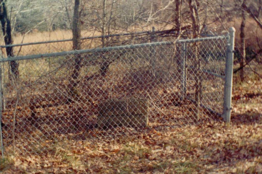
| Description | : | There are only 2 graves in this cemetery that are known. This Cemetery sits on crop land and is enclosed with a chain link fence, and is now not being taken care of due to the persons poor health. Directions from Corp are go east from Stockton on 32 Hwy to county road 1851 go south on 1851 to county road 1650 go east on 1650 to county road 1951 you will be going south just before the road turns back east again there is a road that turns west that should take you to Butler Cemtery. |
frequently asked questions (FAQ):
-
Where is Butler Cemetery?
Butler Cemetery is located at Cedar County ,Missouri ,USA.
-
Butler Cemetery cemetery's updated grave count on graveviews.com?
0 memorials
-
Where are the coordinates of the Butler Cemetery?
Latitude: 37.6482530
Longitude: -93.7247510

Nearby Cemetories:
1. Thornton Cemetery (Re-Located)
Umber View Heights, Cedar County, USA
Coordinate: 37.6508390, -93.7477110
2. Mount Gilead Cemetery
Cedar County, USA
Coordinate: 37.6697578, -93.7211914
3. Toliver Cemetery
Cedar County, USA
Coordinate: 37.6713715, -93.7378845
4. Gothard Cemetery
Needmore, Cedar County, USA
Coordinate: 37.6242294, -93.7081375
5. Gordon Cemetery
Cedar County, USA
Coordinate: 37.6253014, -93.7556000
6. Kington Family Cemetery
Umber, Cedar County, USA
Coordinate: 37.6125470, -93.7478150
7. Lindley Prairie Cemetery
Bearcreek, Cedar County, USA
Coordinate: 37.6540200, -93.6740000
8. Mullen-Cooper Cemetery (Re-Located)
Stockton, Cedar County, USA
Coordinate: 37.6710410, -93.7685440
9. Mount Carmel-OBryant Cemetery
Cedar County, USA
Coordinate: 37.6076813, -93.7407074
10. Miller Cemetery (Re-Located)
Stockton, Cedar County, USA
Coordinate: 37.6581770, -93.7786820
11. Prebellum Cemetery
Cane Hill, Cedar County, USA
Coordinate: 37.5993090, -93.7541490
12. Montgomery Cemetery
Cane Hill, Cedar County, USA
Coordinate: 37.5964200, -93.7595000
13. Dale Cemetery
Cane Hill, Cedar County, USA
Coordinate: 37.5881740, -93.7293770
14. Cedar Gap Cemetery
Stockton, Cedar County, USA
Coordinate: 37.6986008, -93.7680969
15. Ross Cemetery
Umber View Heights, Cedar County, USA
Coordinate: 37.6105995, -93.7866974
16. Hartley Cemetery
Masters, Cedar County, USA
Coordinate: 37.5993970, -93.6678040
17. Alder Cemetery
Stockton, Cedar County, USA
Coordinate: 37.7172089, -93.7070236
18. Stockton Cemetery
Stockton, Cedar County, USA
Coordinate: 37.6990852, -93.7883759
19. Liberty Cemetery
Cedar County, USA
Coordinate: 37.6013985, -93.7938995
20. Flint Hill Cemetery
Bona, Dade County, USA
Coordinate: 37.5695200, -93.7272300
21. Ben Marshall Cemetery
Cedar County, USA
Coordinate: 37.6456720, -93.6215990
22. Gum Springs Cemetery
Stockton, Cedar County, USA
Coordinate: 37.6515198, -93.8281326
23. Perkins Homestead Cemetery
Cedar County, USA
Coordinate: 37.5743904, -93.6745605
24. Fullington Cemetery
Dade County, USA
Coordinate: 37.5661011, -93.7482986