
| Memorials | : | 0 |
| Location | : | Umber, Cedar County, USA |
| Coordinate | : | 37.6125470, -93.7478150 |
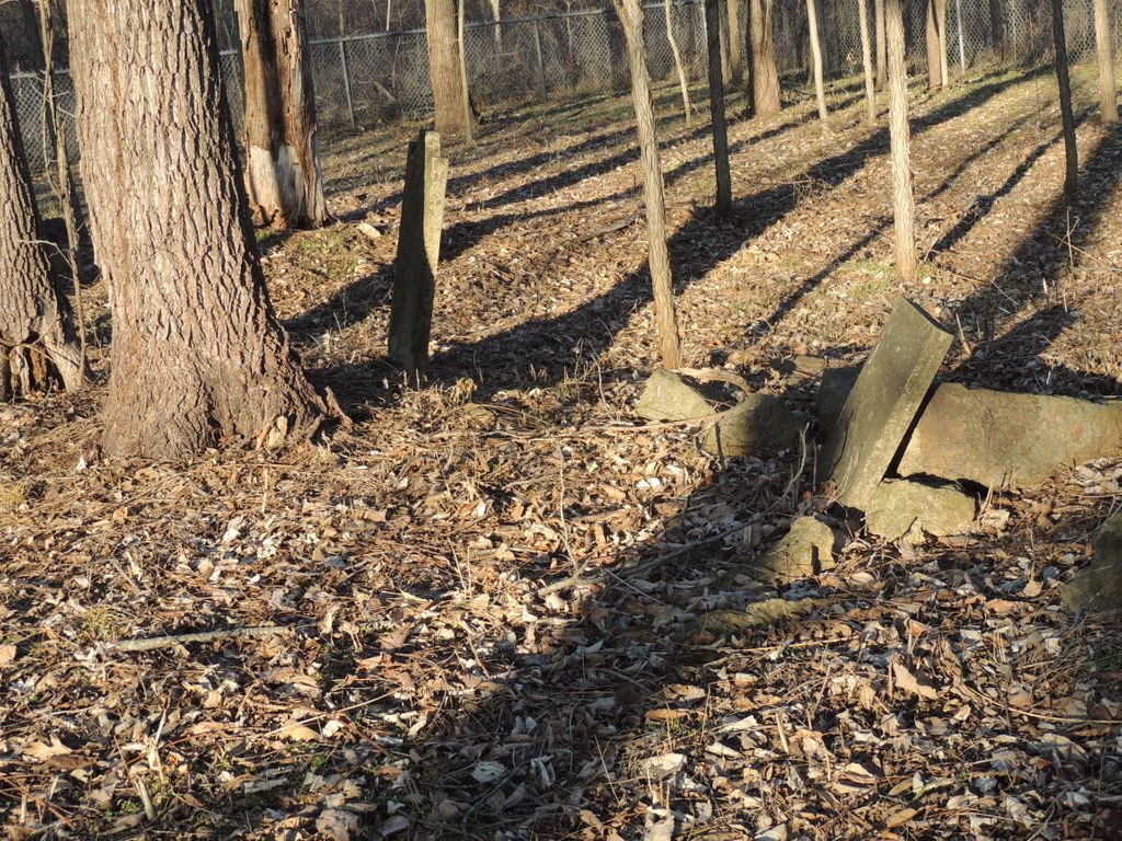
| Description | : | This family cemetery is located in the Stockton State Park area of Lake Stockton, Missouri. It is within a 40 acre tract that was first patented by Edmund G. Kington in 1858. Appears to contain more than two graves but these two listed are the only ones that are somewhat identifiable. |
frequently asked questions (FAQ):
-
Where is Kington Family Cemetery?
Kington Family Cemetery is located at Umber, Cedar County ,Missouri ,USA.
-
Kington Family Cemetery cemetery's updated grave count on graveviews.com?
0 memorials
-
Where are the coordinates of the Kington Family Cemetery?
Latitude: 37.6125470
Longitude: -93.7478150
Nearby Cemetories:
1. Mount Carmel-OBryant Cemetery
Cedar County, USA
Coordinate: 37.6076813, -93.7407074
2. Prebellum Cemetery
Cane Hill, Cedar County, USA
Coordinate: 37.5993090, -93.7541490
3. Gordon Cemetery
Cedar County, USA
Coordinate: 37.6253014, -93.7556000
4. Montgomery Cemetery
Cane Hill, Cedar County, USA
Coordinate: 37.5964200, -93.7595000
5. Dale Cemetery
Cane Hill, Cedar County, USA
Coordinate: 37.5881740, -93.7293770
6. Ross Cemetery
Umber View Heights, Cedar County, USA
Coordinate: 37.6105995, -93.7866974
7. Gothard Cemetery
Needmore, Cedar County, USA
Coordinate: 37.6242294, -93.7081375
8. Liberty Cemetery
Cedar County, USA
Coordinate: 37.6013985, -93.7938995
9. Thornton Cemetery (Re-Located)
Umber View Heights, Cedar County, USA
Coordinate: 37.6508390, -93.7477110
10. Butler Cemetery
Cedar County, USA
Coordinate: 37.6482530, -93.7247510
11. Flint Hill Cemetery
Bona, Dade County, USA
Coordinate: 37.5695200, -93.7272300
12. Fullington Cemetery
Dade County, USA
Coordinate: 37.5661011, -93.7482986
13. Crisp Cemetery
Dade County, USA
Coordinate: 37.5677986, -93.7746964
14. Miller Cemetery (Re-Located)
Stockton, Cedar County, USA
Coordinate: 37.6581770, -93.7786820
15. Toliver Cemetery
Cedar County, USA
Coordinate: 37.6713715, -93.7378845
16. Mullen-Cooper Cemetery (Re-Located)
Stockton, Cedar County, USA
Coordinate: 37.6710410, -93.7685440
17. Mount Gilead Cemetery
Cedar County, USA
Coordinate: 37.6697578, -93.7211914
18. Hartley Cemetery
Masters, Cedar County, USA
Coordinate: 37.5993970, -93.6678040
19. Fox Cemetery (Re-Located)
Crisp, Dade County, USA
Coordinate: 37.5549540, -93.7887880
20. Bald Mound Cemetery
Seybert, Dade County, USA
Coordinate: 37.5456009, -93.7656021
21. Perkins Homestead Cemetery
Cedar County, USA
Coordinate: 37.5743904, -93.6745605
22. Rowland Cemetery (Re-Located)
Crisp, Dade County, USA
Coordinate: 37.5740220, -93.8240070
23. Lindley Prairie Cemetery
Bearcreek, Cedar County, USA
Coordinate: 37.6540200, -93.6740000
24. Gum Springs Cemetery
Stockton, Cedar County, USA
Coordinate: 37.6515198, -93.8281326