
| Memorials | : | 0 |
| Location | : | Curdsville, Daviess County, USA |
| Coordinate | : | 37.7440000, -87.3020000 |
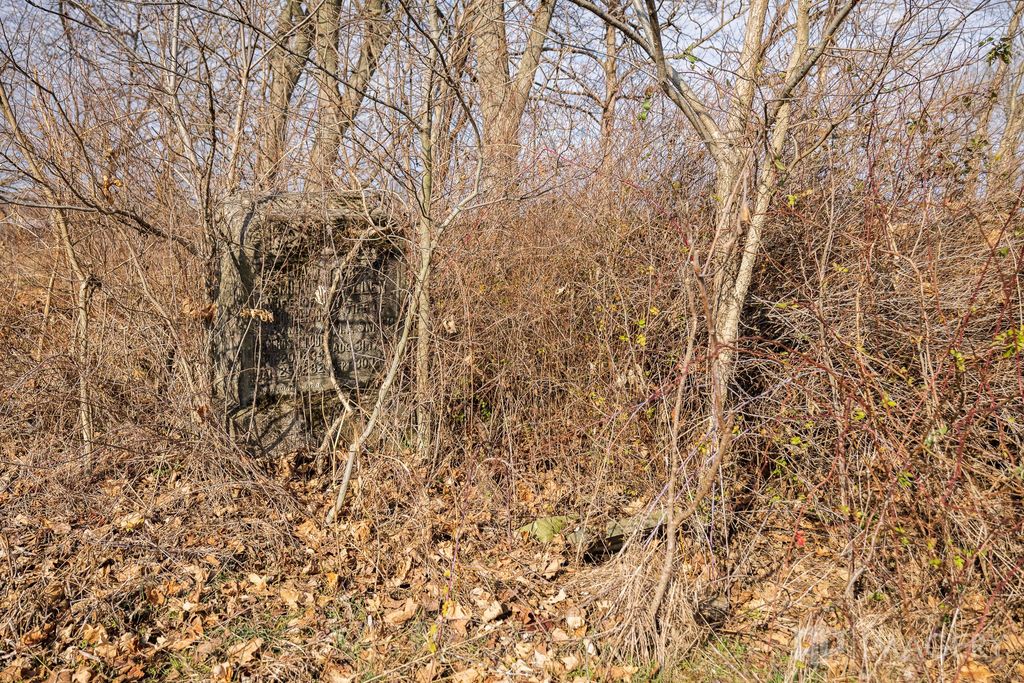
| Description | : | West on Hwy 56 out of Owensboro Take Hwy 456 to Boswell Road, turn right on Boswell Road and go to the end. Turn left on Curdsville Road. Go about a mile and the graveyard is on a hill on the left side of the road. The double headstone is visible from the road. This land belonged to John Glenn Calhoon and Tabitha raised her children here after his death. GPS map accurate to about one mile. |
frequently asked questions (FAQ):
-
Where is Calhoon Curdsville Cemetery?
Calhoon Curdsville Cemetery is located at Curdsville, Daviess County ,Kentucky ,USA.
-
Calhoon Curdsville Cemetery cemetery's updated grave count on graveviews.com?
0 memorials
-
Where are the coordinates of the Calhoon Curdsville Cemetery?
Latitude: 37.7440000
Longitude: -87.3020000
Nearby Cemetories:
1. Welden Cemetery
Hebbardsville, Henderson County, USA
Coordinate: 37.7503200, -87.3253800
2. Hitchcock Family Cemetery
Sorgho, Daviess County, USA
Coordinate: 37.7423261, -87.2686245
3. Little Flock Baptist Cemetery
Sorgho, Daviess County, USA
Coordinate: 37.7573600, -87.2687700
4. Sorgho Baptist Church Cemetery
Sorgho, Daviess County, USA
Coordinate: 37.7552700, -87.2588600
5. McCain Cemetery
Curdsville, Daviess County, USA
Coordinate: 37.7322006, -87.3480988
6. Saint Mary Magdalene Catholic Cemetery
Sorgho, Daviess County, USA
Coordinate: 37.7503050, -87.2487870
7. Wiles Cemetery
Birk City, Daviess County, USA
Coordinate: 37.7815370, -87.2699000
8. Saint Alphonsus Cemetery
Saint Joseph, Daviess County, USA
Coordinate: 37.6948800, -87.3247700
9. Mount Saint Joseph Cemetery
Maple Mount, Daviess County, USA
Coordinate: 37.6931000, -87.3216570
10. Hazelwood Cemetery
Hebbardsville, Henderson County, USA
Coordinate: 37.7596110, -87.3692780
11. Bethel Cemetery
Hebbardsville, Henderson County, USA
Coordinate: 37.7684898, -87.3658829
12. Saint Raphael Cemetery
West Louisville, Daviess County, USA
Coordinate: 37.7033900, -87.2489000
13. Pleasant Hill Cemetery
Hebbardsville, Henderson County, USA
Coordinate: 37.7933620, -87.3439570
14. Saint Raphael Original Log Church and Cemetery
West Louisville, Daviess County, USA
Coordinate: 37.7009600, -87.2442900
15. Hicks-Lewis Cemetery
Hebbardsville, Henderson County, USA
Coordinate: 37.7652870, -87.3819070
16. Presbyterian Cemetery
Henderson County, USA
Coordinate: 37.7784796, -87.3757477
17. Crabtree Cemetery
Sorgho, Daviess County, USA
Coordinate: 37.7560000, -87.2120000
18. Boswell Cemetery
Bluff City, Henderson County, USA
Coordinate: 37.7931000, -87.3700200
19. Travis Cemetery
Saint Joseph, Daviess County, USA
Coordinate: 37.6777992, -87.3469009
20. Craig-Reid Cemetery
Hebbardsville, Henderson County, USA
Coordinate: 37.7506500, -87.3985800
21. Pleasant Grove Baptist Church Cemetery
Sorgho, Daviess County, USA
Coordinate: 37.7552300, -87.2037700
22. Saint Peter Cemetery
Stanley, Daviess County, USA
Coordinate: 37.8147011, -87.2533035
23. Pendleton Cemetery
Stanley, Daviess County, USA
Coordinate: 37.7986300, -87.2271100
24. Stanley Catholic Cemetery
Stanley, Daviess County, USA
Coordinate: 37.8168900, -87.2528200