| Memorials | : | 4 |
| Location | : | Sutherland, O'Brien County, USA |
| Coordinate | : | 42.9686012, -95.4858017 |
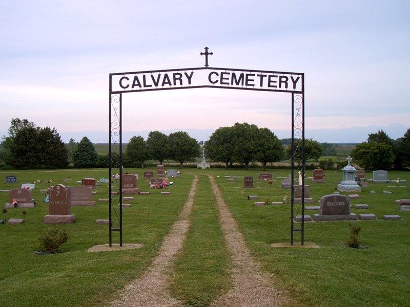
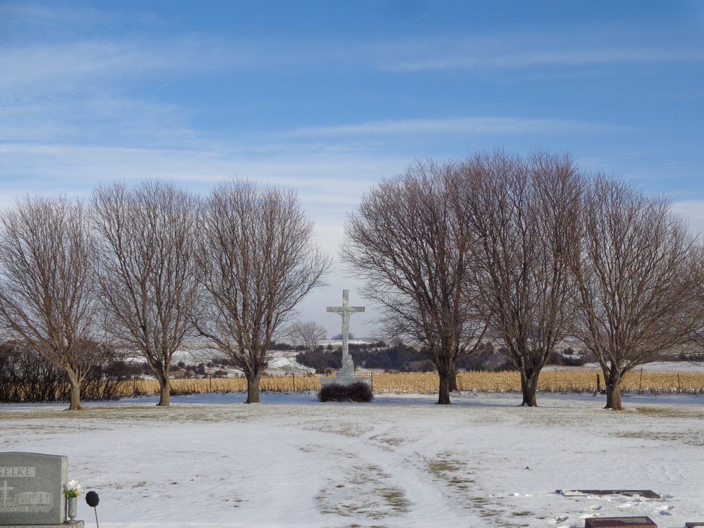
| Description | : | Calvary Cemetery is located about a mile east of Sutherland, O'Brien County, Iowa on Highway 10 in Waterman Township. It is adjacent to and directly north of Waterman Cemetery - the community cemetery in this area. There is another Calvary Cemetery in O'Brien County, Iowa that is located near Primghar. They are not the same. This cemetery was established in 1907 by the Right Reverend Phillip J. Carrigan, Bishop of the Catholic Diocese of Sioux City. Two acres of land were purchased from local farmer Henry Jalas, blessed, platted and named under the direction of local... Read More |
frequently asked questions (FAQ):
-
Where is Calvary Cemetery?
Calvary Cemetery is located at 4685 County Rd M12 Sutherland, O'Brien County ,Iowa , 51058USA.
-
Calvary Cemetery cemetery's updated grave count on graveviews.com?
4 memorials
-
Where are the coordinates of the Calvary Cemetery?
Latitude: 42.9686012
Longitude: -95.4858017
Nearby Cemetories:
1. Waterman Cemetery
Sutherland, O'Brien County, USA
Coordinate: 42.9664001, -95.4847031
2. Hannibal H Waterman Cemetery
O'Brien County, USA
Coordinate: 42.9375530, -95.4170760
3. Fred Feldman Grave
Waterman Township, O'Brien County, USA
Coordinate: 42.9178590, -95.4433340
4. Liberty Cemetery
Calumet, O'Brien County, USA
Coordinate: 42.9241982, -95.5932999
5. Doyle Cemetery
Highland Township, O'Brien County, USA
Coordinate: 43.0619011, -95.5243988
6. Covey Church Cemetery
Hartley, O'Brien County, USA
Coordinate: 43.0682000, -95.4875000
7. Friends Cemetery
Mapleside, O'Brien County, USA
Coordinate: 43.0022000, -95.6225000
8. Oakland Cemetery
Peterson, Clay County, USA
Coordinate: 42.9281006, -95.3432999
9. Cherokee County Pioneer Cemetery
Spring Township, Cherokee County, USA
Coordinate: 42.8502998, -95.4906006
10. TriMello Cemetery
Royal, Clay County, USA
Coordinate: 43.0682983, -95.3728027
11. Saint Johannes Cemetery
Brooke Township, Buena Vista County, USA
Coordinate: 42.8662758, -95.3669968
12. Clay Center Cemetery
Royal, Clay County, USA
Coordinate: 43.0410995, -95.3272018
13. Cedar Cemetery
Larrabee, Cherokee County, USA
Coordinate: 42.8361015, -95.5346985
14. Center Township Cemetery
O'Brien County, USA
Coordinate: 43.1150000, -95.5355000
15. Willow Creek Cemetery
Royal, Clay County, USA
Coordinate: 43.0214005, -95.2885971
16. Steuck Cemetery
Center Township, O'Brien County, USA
Coordinate: 43.1208500, -95.5440000
17. Prairie View Cemetery
Paullina, O'Brien County, USA
Coordinate: 42.9688988, -95.7022018
18. West Prairie View Cemetery
Paullina, O'Brien County, USA
Coordinate: 42.9688988, -95.7039032
19. Afton Cemetery
Cherokee County, USA
Coordinate: 42.8064003, -95.4863968
20. Randolph Cemetery
Center Township, O'Brien County, USA
Coordinate: 43.1282500, -95.5257500
21. Immanuel Lutheran Church Cemetery
Aurelia, Cherokee County, USA
Coordinate: 42.8165000, -95.3885000
22. Pleasant Hill Cemetery
Primghar, O'Brien County, USA
Coordinate: 43.0980988, -95.6374969
23. Saint Anthonys Catholic Calvary Cemetery
Primghar, O'Brien County, USA
Coordinate: 43.0981930, -95.6373780
24. Liberty Cemetery
Meriden, Cherokee County, USA
Coordinate: 42.8368988, -95.6361008


