
| Memorials | : | 7 |
| Location | : | Freedom, Carroll County, USA |
| Coordinate | : | 43.8178810, -71.1555470 |
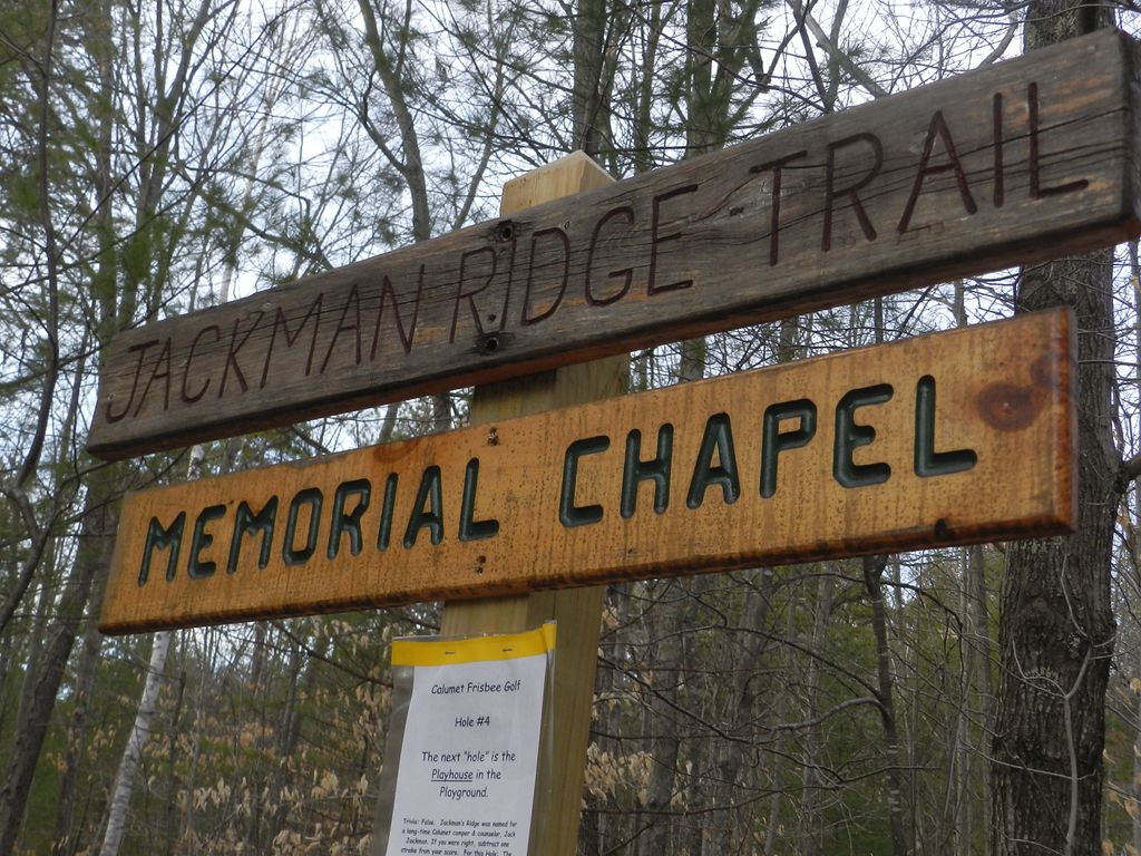
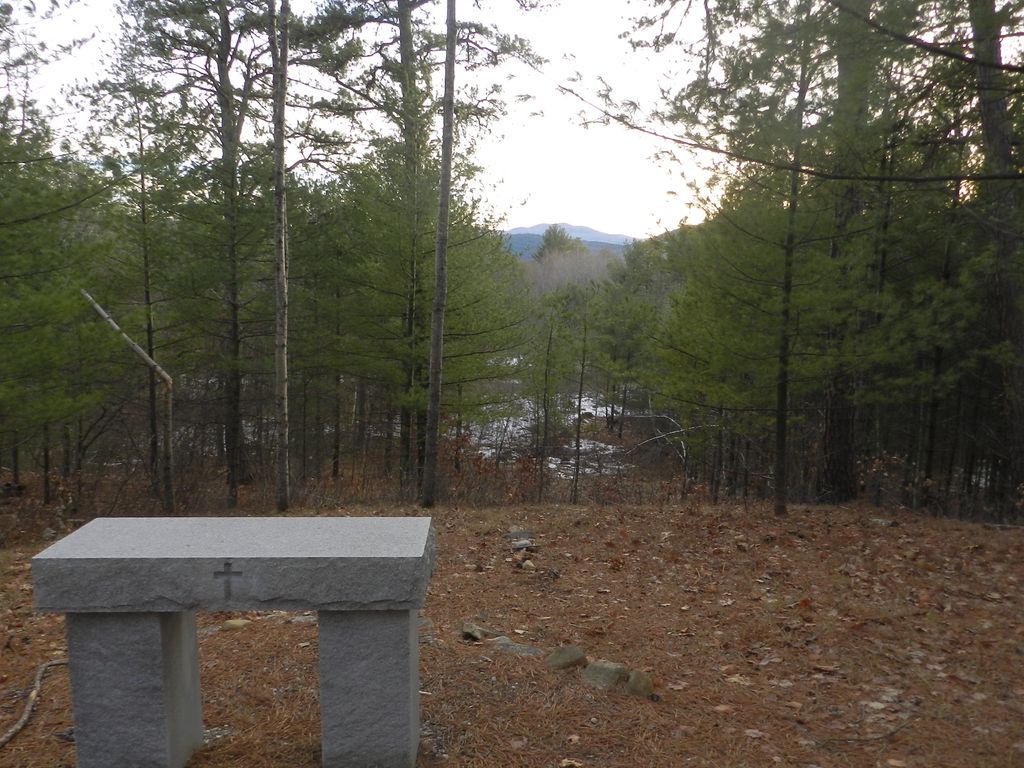
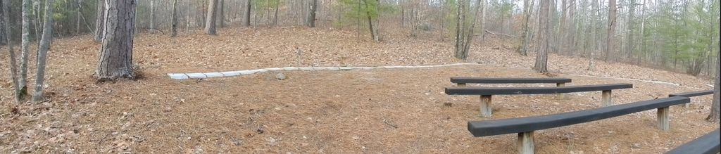
| Description | : | Camp Calumet Memorial Chapel is located on the grounds of Camp Calumet Lutheran, owned by the ELCA (Evangelical Lutheran Church of America). The Chapel is accessed from the Family Campground; the trail to the Chapel and Jackman Ridge enters the pine woods at the rear of the modern playground. The Memorial Chapel is dedicated in memory of Louise Tobiason Herbst. The Memorial Garden is dedicated in loving memory of Louise C Hopkins. The Memorial Bushes are dedicated in loving memory of Josephine & Betty Gillam. |
frequently asked questions (FAQ):
-
Where is Camp Calumet Memorial Chapel Memorial Gard?
Camp Calumet Memorial Chapel Memorial Gard is located at 1090 Ossipee Lake Road Freedom, Carroll County ,New Hampshire , 03836USA.
-
Camp Calumet Memorial Chapel Memorial Gard cemetery's updated grave count on graveviews.com?
5 memorials
-
Where are the coordinates of the Camp Calumet Memorial Chapel Memorial Gard?
Latitude: 43.8178810
Longitude: -71.1555470
Nearby Cemetories:
1. Knox Cemetery
Ossipee, Carroll County, USA
Coordinate: 43.8124300, -71.1893500
2. Ossipee Valley Cemetery
Ossipee, Carroll County, USA
Coordinate: 43.7941000, -71.1816000
3. West Ossipee Cemetery
West Ossipee, Carroll County, USA
Coordinate: 43.8245890, -71.2063090
4. Hodsdon Cemetery
Ossipee, Carroll County, USA
Coordinate: 43.8180560, -71.2108330
5. Helme Cemetery
Ossipee, Carroll County, USA
Coordinate: 43.7851000, -71.1923000
6. Hobbs Family Cemetery
West Ossipee, Carroll County, USA
Coordinate: 43.8209000, -71.2147000
7. Tibbetts Cemetery
Ossipee, Carroll County, USA
Coordinate: 43.7758330, -71.1966670
8. Smith Burial Ground
Freedom, Carroll County, USA
Coordinate: 43.8466670, -71.0927780
9. Gilman Cemetery
Tamworth, Carroll County, USA
Coordinate: 43.8267000, -71.2344000
10. Welch Cemetery
Ossipee, Carroll County, USA
Coordinate: 43.7787000, -71.2143000
11. Folsom Cemetery
Ossipee, Carroll County, USA
Coordinate: 43.7592000, -71.1489000
12. Kennett Cemetery
Madison, Carroll County, USA
Coordinate: 43.8759830, -71.1340170
13. Moultonville United Methodist Church Cemetery
Moultonville, Carroll County, USA
Coordinate: 43.7559000, -71.1681000
14. Thurston Cemetery
Freedom, Carroll County, USA
Coordinate: 43.8423200, -71.0753800
15. Judkins Cemetery
Freedom, Carroll County, USA
Coordinate: 43.8107600, -71.0673800
16. Ham Cemetery
Center Ossipee, Carroll County, USA
Coordinate: 43.7543490, -71.1429010
17. Grant Hill Cemetery
Center Ossipee, Carroll County, USA
Coordinate: 43.7528200, -71.1437300
18. Cushing Corner Cemetery
Freedom, Carroll County, USA
Coordinate: 43.8239990, -71.0647550
19. Burleigh Cemetery
Ossipee, Carroll County, USA
Coordinate: 43.7527780, -71.1713890
20. Tasker Cemetery
Moultonville, Carroll County, USA
Coordinate: 43.7544600, -71.1892280
21. Ammi Kennett Cemetery
Madison, Carroll County, USA
Coordinate: 43.8774330, -71.1101670
22. Wiggin Family Cemetery
Center Ossipee, Carroll County, USA
Coordinate: 43.7751380, -71.2303090
23. Thurston and Burnham Cemetery
Freedom, Carroll County, USA
Coordinate: 43.8394000, -71.0636000
24. Eaton Old White Meeting House Cemetery
Eaton Center, Carroll County, USA
Coordinate: 43.8582000, -71.0760000