
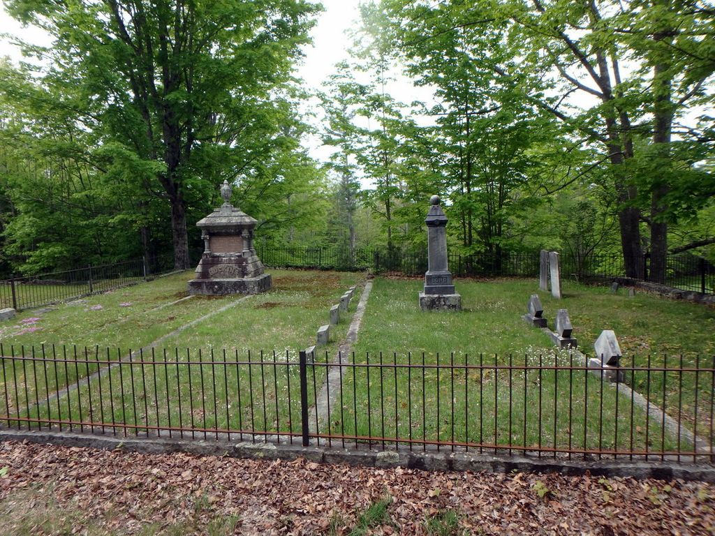
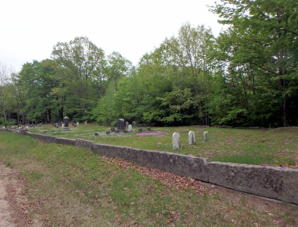
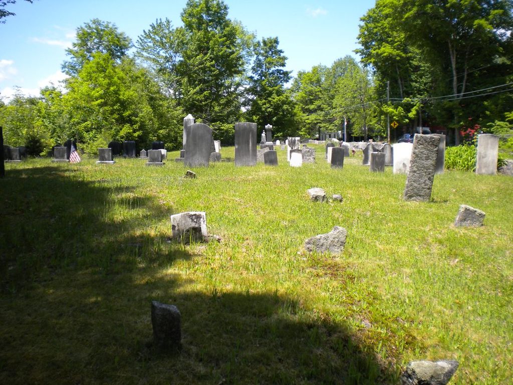
| Memorials | : | 13 |
| Location | : | Freedom, Carroll County, USA |
| Coordinate | : | 43.8239990, -71.0647550 |
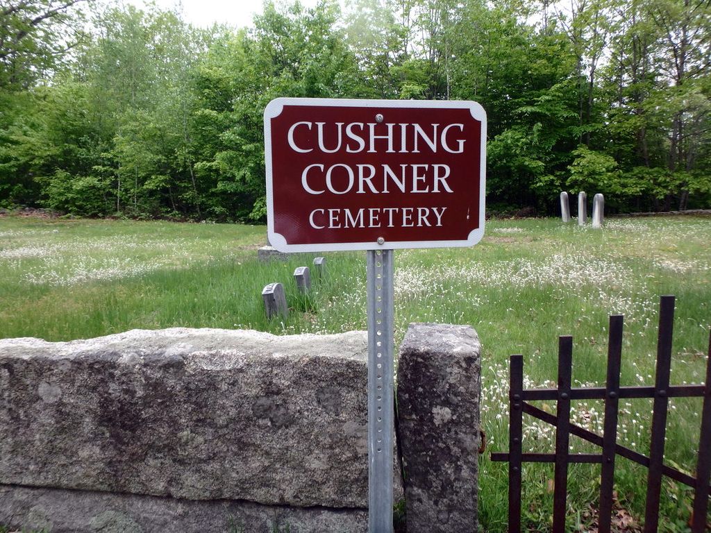
| Description | : | Directions: Start at the fountain in Freedom Town Square. Proceed up the hill on the Cushing Corner Road continuing straight ahead for one mile and seven tenths. The cemetery will be on your left. Directions and gravestone transcriptions courtesy of Dotty Brooks, author of Cemetery Records of Freedom New Hampshire. |
frequently asked questions (FAQ):
-
Where is Cushing Corner Cemetery?
Cushing Corner Cemetery is located at Cushing Corner Road Freedom, Carroll County ,New Hampshire ,USA.
-
Cushing Corner Cemetery cemetery's updated grave count on graveviews.com?
12 memorials
-
Where are the coordinates of the Cushing Corner Cemetery?
Latitude: 43.8239990
Longitude: -71.0647550
Nearby Cemetories:
1. Judkins Cemetery
Freedom, Carroll County, USA
Coordinate: 43.8107600, -71.0673800
2. Thurston and Burnham Cemetery
Freedom, Carroll County, USA
Coordinate: 43.8394000, -71.0636000
3. Andrews Hill Cemetery
Freedom, Carroll County, USA
Coordinate: 43.8173000, -71.0444000
4. Watson Hill Cemetery
Freedom, Carroll County, USA
Coordinate: 43.8361000, -71.0486000
5. Thurston Cemetery
Freedom, Carroll County, USA
Coordinate: 43.8423200, -71.0753800
6. Prospect Cemetery
Freedom, Carroll County, USA
Coordinate: 43.8147000, -71.0357000
7. Parsons Cemetery
Freedom, Carroll County, USA
Coordinate: 43.7996830, -71.0583040
8. Towle Cemetery
Freedom, Carroll County, USA
Coordinate: 43.8136000, -71.0336000
9. Bradbury Chase Cemetery
Freedom, Carroll County, USA
Coordinate: 43.7995580, -71.0583120
10. Effingham Falls Cemetery
Effingham, Carroll County, USA
Coordinate: 43.7961000, -71.0518000
11. Lakeview Cemetery
Freedom, Carroll County, USA
Coordinate: 43.8107400, -71.0282500
12. Smith Burial Ground
Freedom, Carroll County, USA
Coordinate: 43.8466670, -71.0927780
13. Fowler Cemetery
Freedom, Carroll County, USA
Coordinate: 43.8205900, -71.0207400
14. Eaton Old White Meeting House Cemetery
Eaton Center, Carroll County, USA
Coordinate: 43.8582000, -71.0760000
15. Moses-Young Cemetery
Freedom, Carroll County, USA
Coordinate: 43.8504800, -71.0317500
16. Meserve and McDaniel Cemetery
Freedom, Carroll County, USA
Coordinate: 43.8272220, -71.0130560
17. Smart Cemetery
Freedom, Carroll County, USA
Coordinate: 43.8598700, -71.0483200
18. Allard Cemetery
Freedom, Carroll County, USA
Coordinate: 43.8599600, -71.0485000
19. Foss Cemetery
Freedom, Carroll County, USA
Coordinate: 43.8316670, -71.0080560
20. Drew Cemetery
Freedom, Carroll County, USA
Coordinate: 43.8607000, -71.0327000
21. Thurston Cemetery
Eaton Center, Carroll County, USA
Coordinate: 43.8690000, -71.0658000
22. Swett Hill Cemetery
Freedom, Carroll County, USA
Coordinate: 43.8547000, -71.0183000
23. Allen Cemetery
Eaton, Carroll County, USA
Coordinate: 43.8698200, -71.0591800
24. Durgin Cemetery
Eaton Center, Carroll County, USA
Coordinate: 43.8700000, -71.0816670