
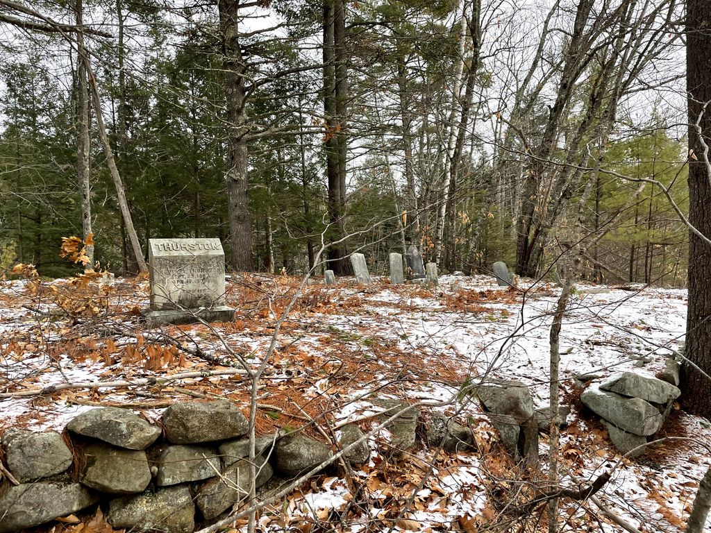
| Memorials | : | 3 |
| Location | : | Freedom, Carroll County, USA |
| Coordinate | : | 43.8423200, -71.0753800 |
| Description | : | From its intersection with Cushing Corner Road, drive north 1.1 miles on 153 to a long private driveway on the right (east) side. Follow the driveway 0.4 miles to the house and ask permission. The cemetery is 500 feet east and slightly south from the house. |
frequently asked questions (FAQ):
-
Where is Thurston Cemetery?
Thurston Cemetery is located at Freedom, Carroll County ,New Hampshire ,USA.
-
Thurston Cemetery cemetery's updated grave count on graveviews.com?
3 memorials
-
Where are the coordinates of the Thurston Cemetery?
Latitude: 43.8423200
Longitude: -71.0753800
Nearby Cemetories:
1. Thurston and Burnham Cemetery
Freedom, Carroll County, USA
Coordinate: 43.8394000, -71.0636000
2. Smith Burial Ground
Freedom, Carroll County, USA
Coordinate: 43.8466670, -71.0927780
3. Eaton Old White Meeting House Cemetery
Eaton Center, Carroll County, USA
Coordinate: 43.8582000, -71.0760000
4. Cushing Corner Cemetery
Freedom, Carroll County, USA
Coordinate: 43.8239990, -71.0647550
5. Watson Hill Cemetery
Freedom, Carroll County, USA
Coordinate: 43.8361000, -71.0486000
6. Allard Cemetery
Freedom, Carroll County, USA
Coordinate: 43.8599600, -71.0485000
7. Smart Cemetery
Freedom, Carroll County, USA
Coordinate: 43.8598700, -71.0483200
8. Thurston Cemetery
Eaton Center, Carroll County, USA
Coordinate: 43.8690000, -71.0658000
9. Durgin Cemetery
Eaton Center, Carroll County, USA
Coordinate: 43.8700000, -71.0816670
10. Allen Cemetery
Eaton, Carroll County, USA
Coordinate: 43.8698200, -71.0591800
11. Judkins Cemetery
Freedom, Carroll County, USA
Coordinate: 43.8107600, -71.0673800
12. Moses-Young Cemetery
Freedom, Carroll County, USA
Coordinate: 43.8504800, -71.0317500
13. Andrews Hill Cemetery
Freedom, Carroll County, USA
Coordinate: 43.8173000, -71.0444000
14. Drew Cemetery
Freedom, Carroll County, USA
Coordinate: 43.8607000, -71.0327000
15. Currier-Wilkinson Cemetery
Eaton, Carroll County, USA
Coordinate: 43.8708500, -71.0433400
16. Wilkinson Cemetery
Eaton, Carroll County, USA
Coordinate: 43.8663900, -71.0331800
17. Prospect Cemetery
Freedom, Carroll County, USA
Coordinate: 43.8147000, -71.0357000
18. Jenness-Leavitt Cemetery
Eaton, Carroll County, USA
Coordinate: 43.8804900, -71.0565000
19. Towle Cemetery
Freedom, Carroll County, USA
Coordinate: 43.8136000, -71.0336000
20. Swett Hill Cemetery
Freedom, Carroll County, USA
Coordinate: 43.8547000, -71.0183000
21. Ammi Kennett Cemetery
Madison, Carroll County, USA
Coordinate: 43.8774330, -71.1101670
22. Parsons Cemetery
Freedom, Carroll County, USA
Coordinate: 43.7996830, -71.0583040
23. Bradbury Chase Cemetery
Freedom, Carroll County, USA
Coordinate: 43.7995580, -71.0583120
24. Fowler Cemetery
Freedom, Carroll County, USA
Coordinate: 43.8205900, -71.0207400