
| Memorials | : | 1 |
| Location | : | Parnell, Atchison County, USA |
| Coordinate | : | 39.5202789, -95.2346573 |
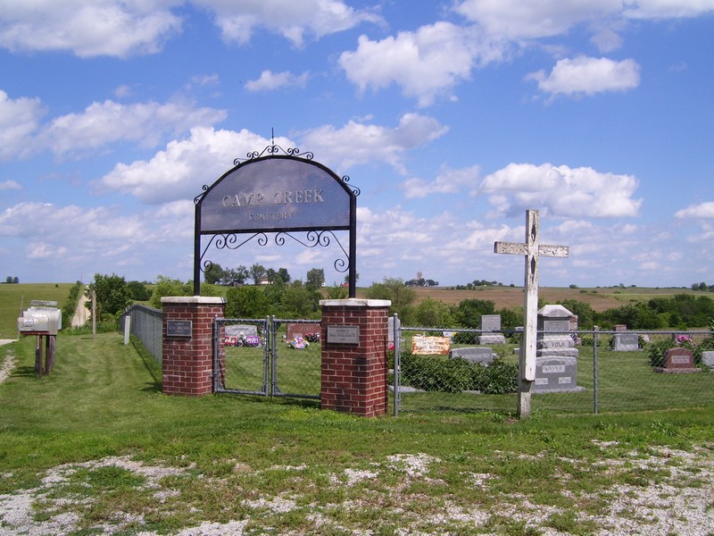
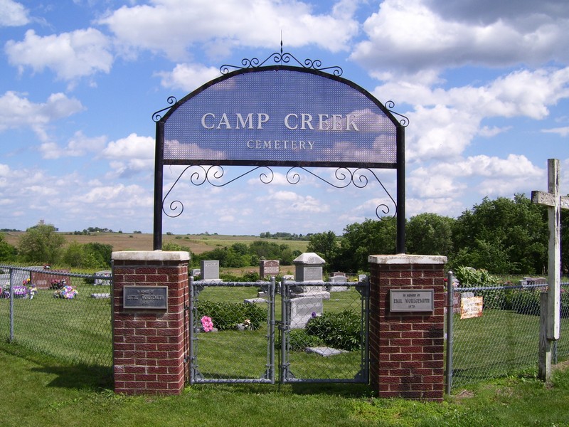
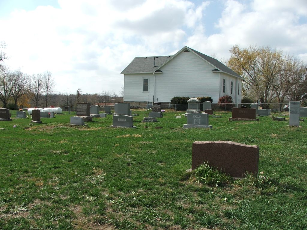
| Description | : | Located East of the Camp Creek Church. Southeast corner of the intersection of 262nd and Meade Roads. Mount Pleasant North Township, Section 19. |
frequently asked questions (FAQ):
-
Where is Camp Creek Cemetery?
Camp Creek Cemetery is located at 262nd and Meade Roads Parnell, Atchison County ,Kansas ,USA.
-
Camp Creek Cemetery cemetery's updated grave count on graveviews.com?
1 memorials
-
Where are the coordinates of the Camp Creek Cemetery?
Latitude: 39.5202789
Longitude: -95.2346573
Nearby Cemetories:
1. Mormon Grove Historical Marker Memorial
Parnell, Atchison County, USA
Coordinate: 39.5572319, -95.1985931
2. Pardee Cemetery
Cummings, Atchison County, USA
Coordinate: 39.4914589, -95.2860489
3. Cummings District Cemetery
Cummings, Atchison County, USA
Coordinate: 39.4599609, -95.2416077
4. Campbell Cemetery
Farmington, Atchison County, USA
Coordinate: 39.5186900, -95.3145600
5. Jackie Jones Cemetery
Cummings, Atchison County, USA
Coordinate: 39.4622000, -95.2631000
6. Round Mound Cemetery
Cummings, Atchison County, USA
Coordinate: 39.4646988, -95.1908035
7. Yoakum Cemetery
Atchison, Atchison County, USA
Coordinate: 39.5522600, -95.1611400
8. Robinson Family Cemetery
Atchison, Atchison County, USA
Coordinate: 39.4920100, -95.3114700
9. Lancaster Cemetery
Lancaster, Atchison County, USA
Coordinate: 39.5666275, -95.3054123
10. Mount Vernon Cemetery
Atchison, Atchison County, USA
Coordinate: 39.5383200, -95.1437800
11. Griffin Cemetery
Cummings, Atchison County, USA
Coordinate: 39.4629707, -95.3053207
12. Spriggs Family Cemetery (Defunct)
Atchison, Atchison County, USA
Coordinate: 39.5564400, -95.1434100
13. Eden Cemetery (Defunct)
Good Intent, Atchison County, USA
Coordinate: 39.5989300, -95.2163100
14. Oak Hill Cemetery
Atchison, Atchison County, USA
Coordinate: 39.5628014, -95.1444016
15. Good Intent Cemetery
Lancaster, Atchison County, USA
Coordinate: 39.6025009, -95.2275009
16. Ashcraft Cemetery
Saint Pats, Atchison County, USA
Coordinate: 39.4695396, -95.1479034
17. Seventh Day Baptist Original Cemetery
Cummings, Atchison County, USA
Coordinate: 39.4706400, -95.3243400
18. Monrovia Cemetery
Effingham, Atchison County, USA
Coordinate: 39.5150719, -95.3470993
19. Mount Saint Scholastica Cemetery
Atchison, Atchison County, USA
Coordinate: 39.5524788, -95.1274185
20. Springhill Cemetery
Potter, Atchison County, USA
Coordinate: 39.4303589, -95.2025375
21. Trinity Episcopal Church Memorial Garden
Atchison, Atchison County, USA
Coordinate: 39.5593910, -95.1187363
22. Sumner Cemetery
Atchison, Atchison County, USA
Coordinate: 39.5163994, -95.1081009
23. Mount Pleasant Cemetery
Potter, Atchison County, USA
Coordinate: 39.4520187, -95.1412964
24. Saint Patrick Cemetery
Saint Pats, Atchison County, USA
Coordinate: 39.4689713, -95.1242523