
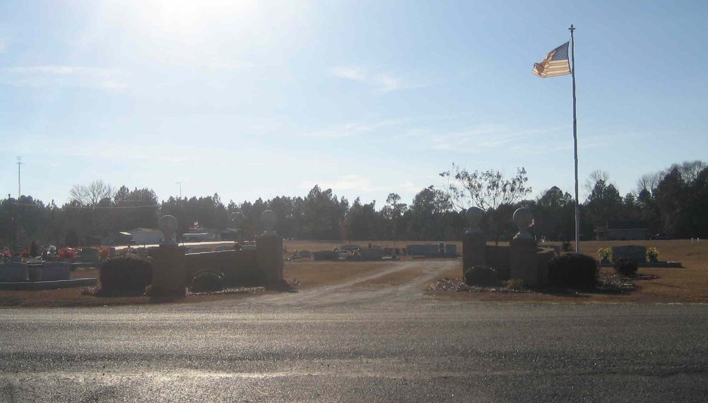
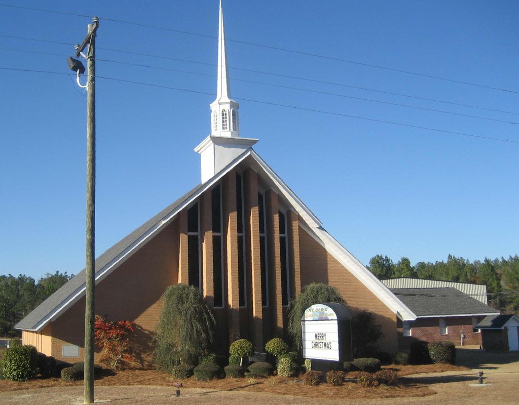
| Memorials | : | 0 |
| Location | : | Wrightsville, Johnson County, USA |
| Coordinate | : | 32.6010600, -82.6518520 |
frequently asked questions (FAQ):
-
Where is Mount Olive Church of the Nazarene Cemetery?
Mount Olive Church of the Nazarene Cemetery is located at Wrightsville, Johnson County ,Georgia ,USA.
-
Mount Olive Church of the Nazarene Cemetery cemetery's updated grave count on graveviews.com?
0 memorials
-
Where are the coordinates of the Mount Olive Church of the Nazarene Cemetery?
Latitude: 32.6010600
Longitude: -82.6518520

Nearby Cemetories:
1. Red Hill Cemetery
Johnson County, USA
Coordinate: 32.6049995, -82.6557999
2. Smith Cemetery
Scott, Johnson County, USA
Coordinate: 32.6044006, -82.6386032
3. Bay Springs Baptist Church Cemetery
Scott, Johnson County, USA
Coordinate: 32.5930610, -82.6671900
4. Keas Methodist Church Cemetery
Adrian, Emanuel County, USA
Coordinate: 32.5927080, -82.6132770
5. Foskey Cemetery
Adrian, Johnson County, USA
Coordinate: 32.5788994, -82.6132965
6. Church Of Jesus Christ Cemetery
Scott, Johnson County, USA
Coordinate: 32.5575910, -82.6628570
7. Providence-Pullen Cemetery
Meeks, Johnson County, USA
Coordinate: 32.6278300, -82.5997800
8. Thomas Chapel Methodist Church Cemetery
Dublin, Laurens County, USA
Coordinate: 32.6071360, -82.7139700
9. Snell Cemetery
Meeks, Johnson County, USA
Coordinate: 32.6547012, -82.6355972
10. Liberty Grove Cemetery
Johnson County, USA
Coordinate: 32.6588510, -82.6493950
11. Harriett Carter Cemetery
Wrightsville, Johnson County, USA
Coordinate: 32.6549750, -82.6830800
12. Odom Cemetery
Adrian, Emanuel County, USA
Coordinate: 32.5750000, -82.5840000
13. Drake Cemetery
Adrian, Johnson County, USA
Coordinate: 32.5477982, -82.6121979
14. Meeks Cemetery
Johnson County, USA
Coordinate: 32.6296997, -82.5828018
15. Poplar Springs Methodist Church Cemetery
Adrian, Johnson County, USA
Coordinate: 32.5384160, -82.6286060
16. Piney Mount Cemetery
Wrightsville, Johnson County, USA
Coordinate: 32.6459300, -82.7100340
17. Carter's Chapel United Methodist Church Cemetery
East Dublin, Laurens County, USA
Coordinate: 32.5528830, -82.7103110
18. Corinth Church Cemetery
Meeks, Johnson County, USA
Coordinate: 32.6010490, -82.5665190
19. Corinth Memorial Cemetery
Meeks, Johnson County, USA
Coordinate: 32.6015260, -82.5661520
20. Carter Cemetery
Spann, Johnson County, USA
Coordinate: 32.6385710, -82.7262030
21. Hutcheson Cemetery
Adrian, Johnson County, USA
Coordinate: 32.5411990, -82.5875970
22. Union Grove Church Cemetery
Spann, Johnson County, USA
Coordinate: 32.6429405, -82.7387466
23. Watson Cemetery
Adrian, Emanuel County, USA
Coordinate: 32.5599400, -82.5620000
24. Emanuel Cemetery
Adrian, Emanuel County, USA
Coordinate: 32.5593987, -82.5622025