| Memorials | : | 110 |
| Location | : | Wolf Creek, Lewis and Clark County, USA |
| Coordinate | : | 47.0069000, -112.0855000 |
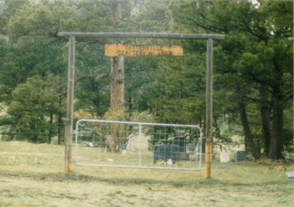
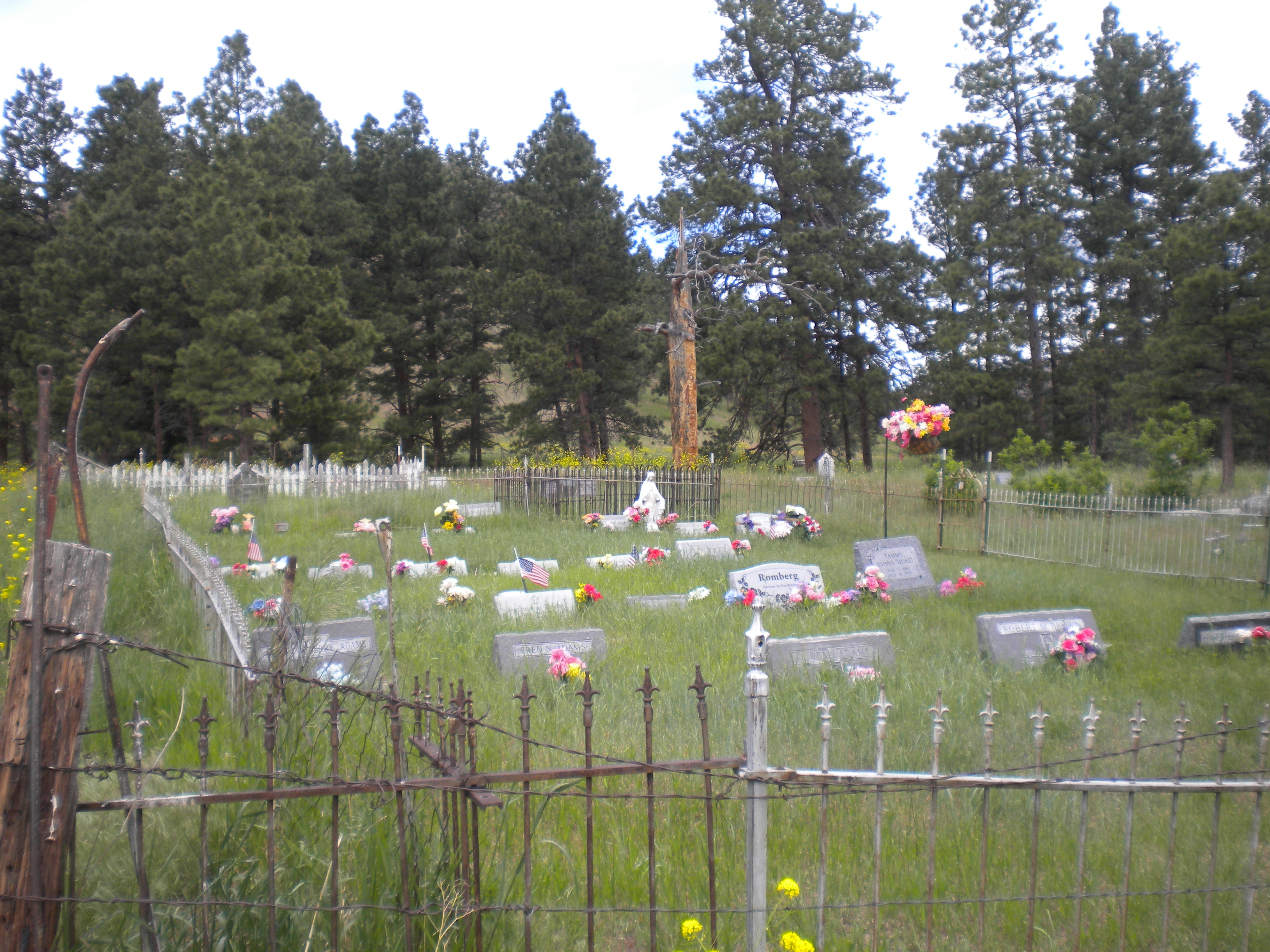
| Description | : | This cemetery is located Township 15 North, Range 4 West, Section 35, on private property. There are many sunken graves and markers without names. The cemetery was once part of Carterville, the little town that faded out of existence when the railroad came to Wolf Creek. The land was donated by Jim Carter when Carterville was the stage station. It is located on the Wirth Ranch behind the Bob Wirth ranch home. The Wirth Ranch is at the west-end of Wolf Creek, Montana, at the confluence of the Frontage Road and South Dearborn Road, Highway 434. The cemetery is enclosed... Read More |
frequently asked questions (FAQ):
-
Where is Carterville Cemetery?
Carterville Cemetery is located at Wolf Creek, Lewis and Clark County ,Montana ,USA.
-
Carterville Cemetery cemetery's updated grave count on graveviews.com?
110 memorials
-
Where are the coordinates of the Carterville Cemetery?
Latitude: 47.0069000
Longitude: -112.0855000
Nearby Cemetories:
1. Moore Grave
Lewis and Clark County, USA
Coordinate: 47.0969009, -112.0522003
2. Craig Cemetery
Craig, Lewis and Clark County, USA
Coordinate: 47.0780060, -111.9697380
3. Sieben Ranch Cemetery
Wolf Creek, Lewis and Clark County, USA
Coordinate: 46.8882900, -112.1224700
4. Dearborn Cemetery
Lewis and Clark County, USA
Coordinate: 47.1643982, -112.2303009
5. Dearborn Crossing Cemetery
Lewis and Clark County, USA
Coordinate: 47.2120000, -112.1116000
6. Cadotte Family Ranch Cemetery
Lincoln, Lewis and Clark County, USA
Coordinate: 47.0596000, -112.4148800
7. Silver City Cemetery
Silver City, Lewis and Clark County, USA
Coordinate: 46.7360992, -112.1800003
8. Marysville Cemetery
Lewis and Clark County, USA
Coordinate: 46.7566986, -112.2902985
9. Gibson Ranch Cemetery
Wolf Creek, Lewis and Clark County, USA
Coordinate: 47.2513800, -112.3542470
10. Silver Creek Road Cemetery
Lewis and Clark County, USA
Coordinate: 46.6994500, -112.0916000
11. Saint Peter Mission Cemetery
Saint Peter, Cascade County, USA
Coordinate: 47.3005000, -111.9210000
12. Sunset Memorial Gardens
Helena, Lewis and Clark County, USA
Coordinate: 46.6900368, -112.0215759
13. Milford Colony Cemetery
Milford Colony, Lewis and Clark County, USA
Coordinate: 47.3310000, -112.2070000
14. Forestvale Cemetery
Helena, Lewis and Clark County, USA
Coordinate: 46.6563988, -112.0361023
15. Lewis and Clark County Cemetery
Helena, Lewis and Clark County, USA
Coordinate: 46.6558870, -112.0319440
16. IOOF Cemetery
Helena, Lewis and Clark County, USA
Coordinate: 46.6535873, -112.0311966
17. York Cemetery
Lewis and Clark County, USA
Coordinate: 46.7228550, -111.7539810
18. Jimtown Cemetery
York, Lewis and Clark County, USA
Coordinate: 46.7228150, -111.7533800
19. Flat Creek Cemetery
Augusta, Lewis and Clark County, USA
Coordinate: 47.3360890, -112.3494960
20. Hardgrove and Merritt Cemetery
Helena, Lewis and Clark County, USA
Coordinate: 46.6537000, -111.8944000
21. Resurrection Cemetery
Helena, Lewis and Clark County, USA
Coordinate: 46.6293983, -112.0171967
22. Hillside Cemetery
Cascade, Cascade County, USA
Coordinate: 47.2873000, -111.7027000
23. Montana Medal of Honor Grove
Helena, Lewis and Clark County, USA
Coordinate: 46.6227300, -112.0956300
24. Fort William Henry Harrison Cemetery
Helena, Lewis and Clark County, USA
Coordinate: 46.6227000, -112.1103000


