
| Memorials | : | 0 |
| Location | : | Castletown, Metropolitan Borough of Sunderland, England |
| Coordinate | : | 54.9167340, -1.4467910 |
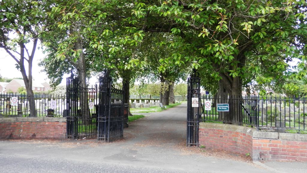
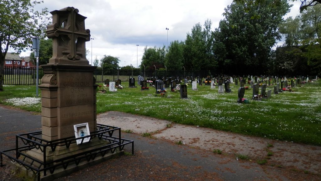
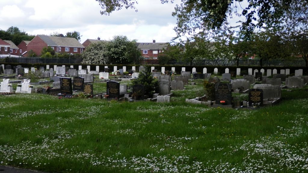
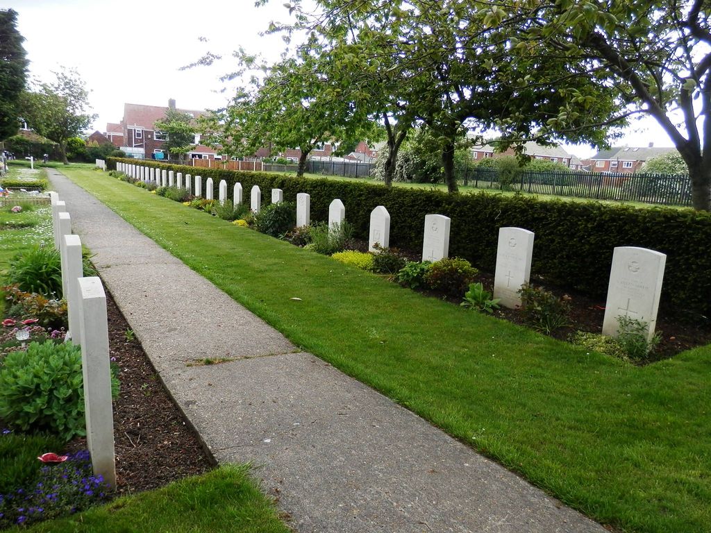
| Description | : | Opened 21 May 1921, the cemetery and burial records are maintained by Sunderland City Council |
frequently asked questions (FAQ):
-
Where is Castletown Cemetery?
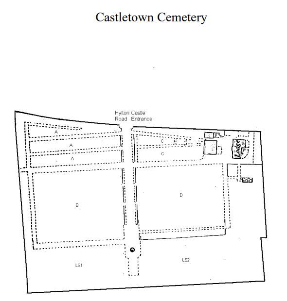
Castletown Cemetery is located at Hylton Castle Road Castletown, Metropolitan Borough of Sunderland ,Tyne and Wear ,England.
-
Castletown Cemetery cemetery's updated grave count on graveviews.com?
0 memorials
-
Where are the coordinates of the Castletown Cemetery?
Latitude: 54.9167340
Longitude: -1.4467910
Nearby Cemetories:
1. St Katherine's Chapel
Sunderland, Metropolitan Borough of Sunderland, England
Coordinate: 54.9228508, -1.4422613
2. St Mary's Church
South Hylton, Metropolitan Borough of Sunderland, England
Coordinate: 54.9064500, -1.4505300
3. Southwick Cemetery
Southwick, Metropolitan Borough of Sunderland, England
Coordinate: 54.9269940, -1.4165070
4. Bishopwearmouth Cemetery
Bishopwearmouth, Metropolitan Borough of Sunderland, England
Coordinate: 54.8996124, -1.4206740
5. Holy Trinity Churchyard
Southwick, Metropolitan Borough of Sunderland, England
Coordinate: 54.9203120, -1.4060260
6. Sunderland Crematorium
Sunderland, Metropolitan Borough of Sunderland, England
Coordinate: 54.8970430, -1.4216890
7. Boldon Cemetery
West Boldon, Metropolitan Borough of South Tyneside, England
Coordinate: 54.9422300, -1.4491100
8. Boldon Friends Burial Ground
Boldon, Metropolitan Borough of South Tyneside, England
Coordinate: 54.9424130, -1.4549390
9. Jewish Burial Ground
Ayre's Quay, Metropolitan Borough of Sunderland, England
Coordinate: 54.9115200, -1.3960100
10. Galley's Gill Cemetery
Sunderland, Metropolitan Borough of Sunderland, England
Coordinate: 54.9082914, -1.3913108
11. St Michael's Minster Church
Sunderland, Metropolitan Borough of Sunderland, England
Coordinate: 54.9059555, -1.3887787
12. St. Thomas' Church
Sunderland, Metropolitan Borough of Sunderland, England
Coordinate: 54.9066294, -1.3804475
13. St Peters Parish Churchyard
Monkwearmouth, Metropolitan Borough of Sunderland, England
Coordinate: 54.9341667, -1.3813889
14. Washington Cemetery
Washington, Metropolitan Borough of Sunderland, England
Coordinate: 54.9029540, -1.5149770
15. Sunderland Friends Burial Ground
Sunderland, Metropolitan Borough of Sunderland, England
Coordinate: 54.9059650, -1.3768230
16. Holy Trinity Churchyard
Washington, Metropolitan Borough of Sunderland, England
Coordinate: 54.9031000, -1.5167800
17. Our Blessed Lady Immaculate RC Churchyard
Washington, Metropolitan Borough of Sunderland, England
Coordinate: 54.9035800, -1.5212300
18. All Saints Churchyard
Penshaw, Metropolitan Borough of Sunderland, England
Coordinate: 54.8788450, -1.4883190
19. Mere Knolls Cemetery
Sunderland, Metropolitan Borough of Sunderland, England
Coordinate: 54.9342990, -1.3738590
20. Holy Trinity Church Burial
Sunderland, Metropolitan Borough of Sunderland, England
Coordinate: 54.9077830, -1.3688030
21. St Cuthbert's Churchyard
New Herrington, Metropolitan Borough of Sunderland, England
Coordinate: 54.8708720, -1.4579010
22. South Shields Crematorium
South Shields, Metropolitan Borough of South Tyneside, England
Coordinate: 54.9641900, -1.4541900
23. St Aidan Churchyard
New Herrington, Metropolitan Borough of Sunderland, England
Coordinate: 54.8693700, -1.4680430
24. St Matthew's Churchyard
Silksworth, Metropolitan Borough of Sunderland, England
Coordinate: 54.8707006, -1.4090075