
| Memorials | : | 1 |
| Location | : | West Boldon, Metropolitan Borough of South Tyneside, England |
| Coordinate | : | 54.9422300, -1.4491100 |
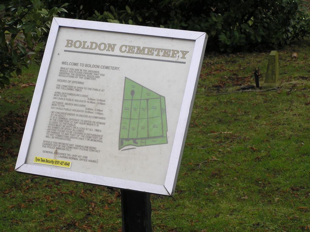
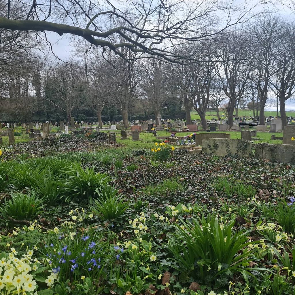
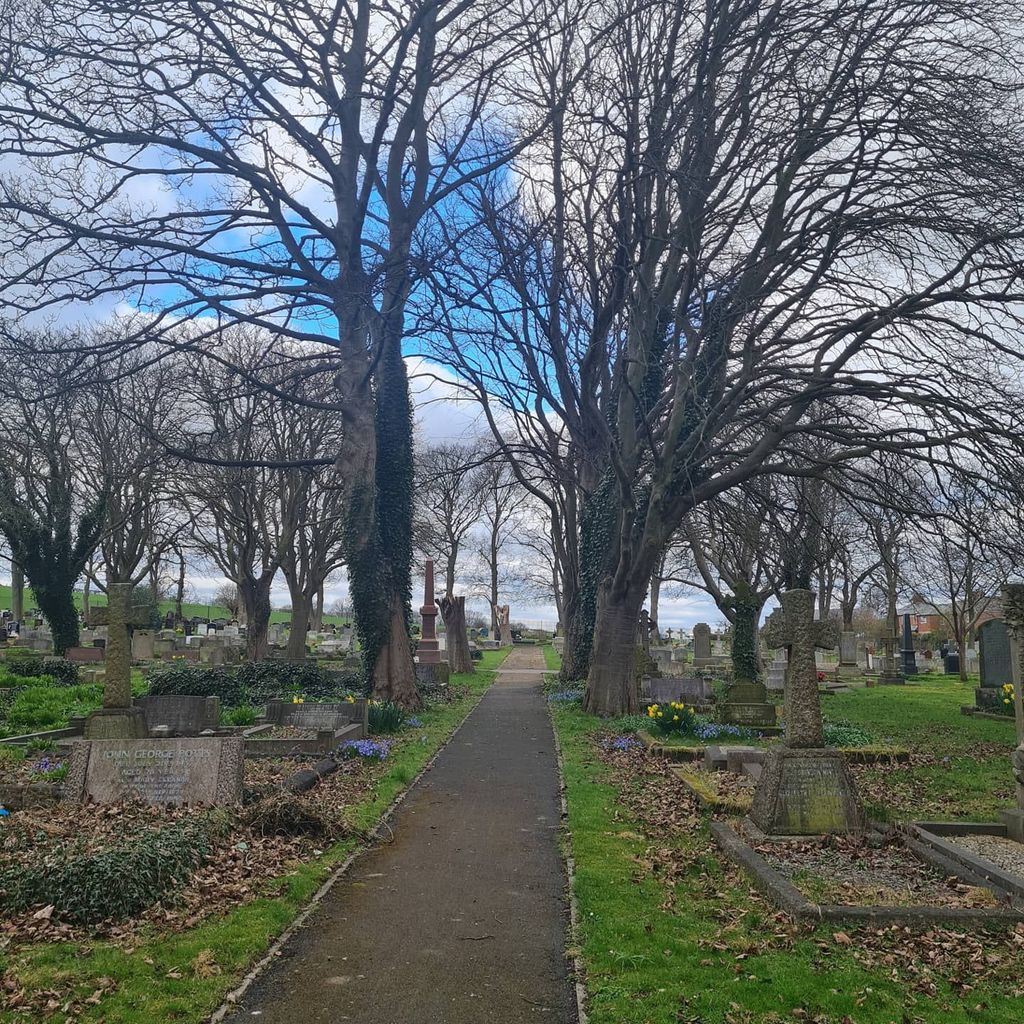
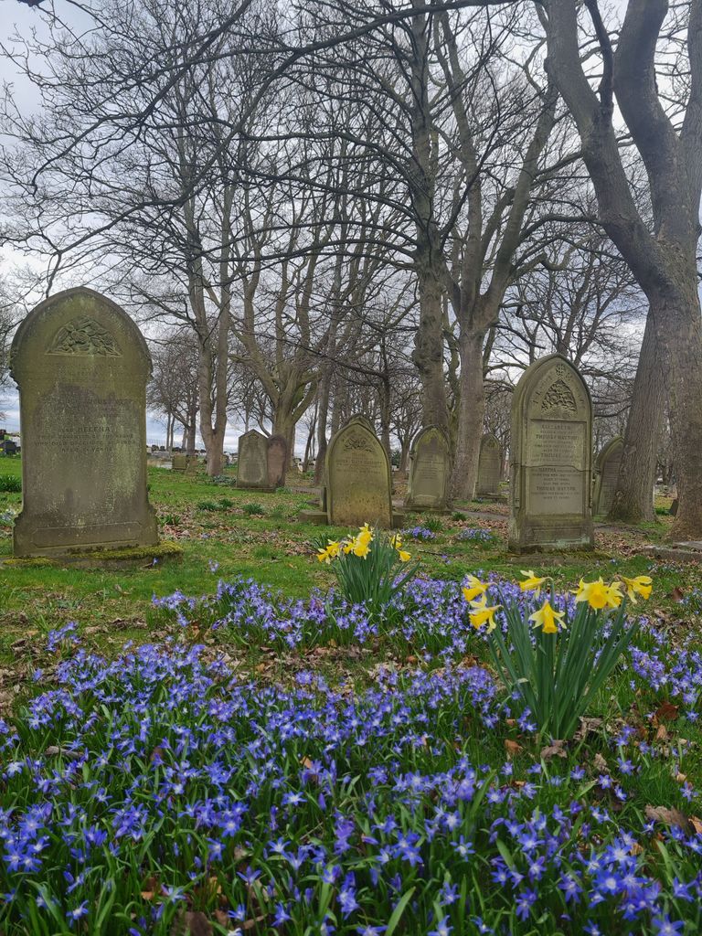
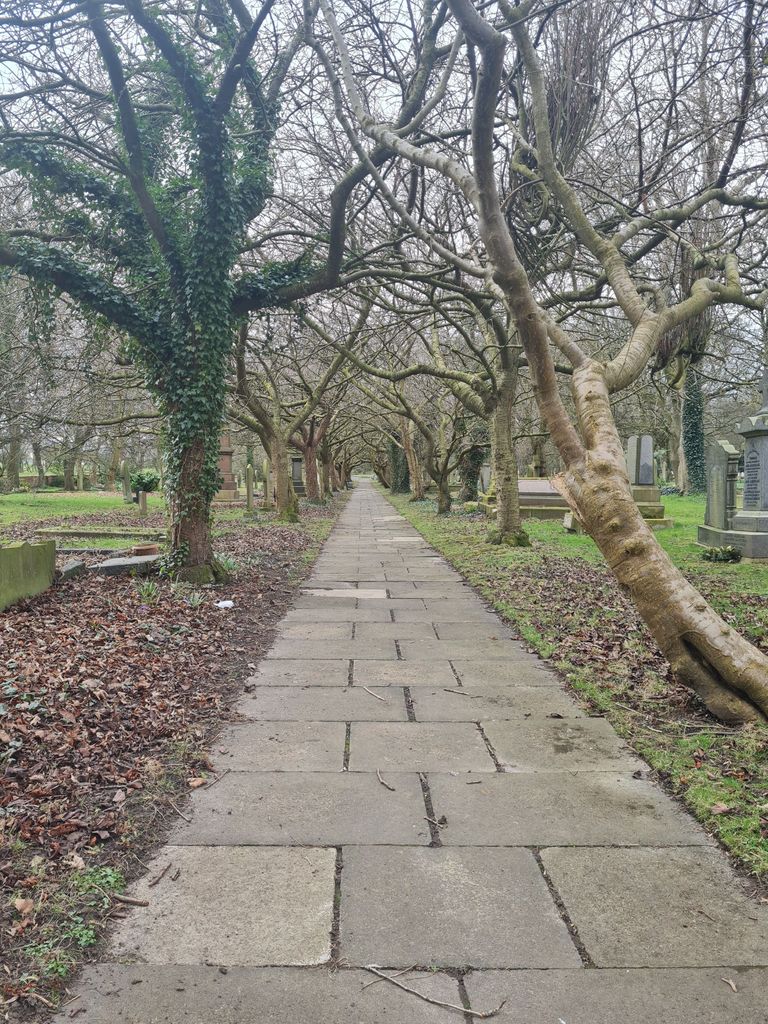
| Description | : | Opened 16 September 1872, the cemetery and burial records are maintained by South Tyneside Metropolitan Borough Council |
frequently asked questions (FAQ):
-
Where is Boldon Cemetery?
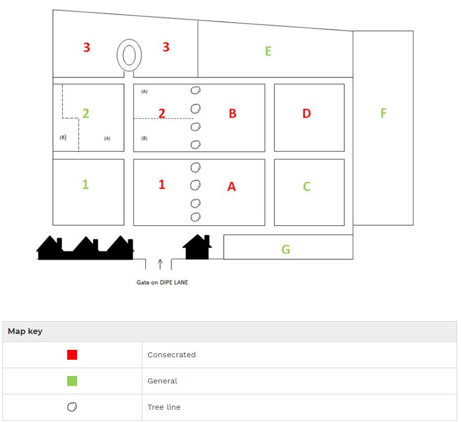
Boldon Cemetery is located at Dipe Lane West Boldon, Metropolitan Borough of South Tyneside ,Tyne and Wear , NE36 OPWEngland.
-
Boldon Cemetery cemetery's updated grave count on graveviews.com?
1 memorials
-
Where are the coordinates of the Boldon Cemetery?
Latitude: 54.9422300
Longitude: -1.4491100
Nearby Cemetories:
1. Boldon Friends Burial Ground
Boldon, Metropolitan Borough of South Tyneside, England
Coordinate: 54.9424130, -1.4549390
2. St Katherine's Chapel
Sunderland, Metropolitan Borough of Sunderland, England
Coordinate: 54.9228508, -1.4422613
3. South Shields Crematorium
South Shields, Metropolitan Borough of South Tyneside, England
Coordinate: 54.9641900, -1.4541900
4. Southwick Cemetery
Southwick, Metropolitan Borough of Sunderland, England
Coordinate: 54.9269940, -1.4165070
5. Castletown Cemetery
Castletown, Metropolitan Borough of Sunderland, England
Coordinate: 54.9167340, -1.4467910
6. St Simon's Churchyard
South Shields, Metropolitan Borough of South Tyneside, England
Coordinate: 54.9721900, -1.4559600
7. Holy Trinity Churchyard
Southwick, Metropolitan Borough of Sunderland, England
Coordinate: 54.9203120, -1.4060260
8. St Mary's Church
South Hylton, Metropolitan Borough of Sunderland, England
Coordinate: 54.9064500, -1.4505300
9. Jarrow Cemetery
Jarrow, Metropolitan Borough of South Tyneside, England
Coordinate: 54.9727690, -1.4826260
10. St Peters Parish Churchyard
Monkwearmouth, Metropolitan Borough of Sunderland, England
Coordinate: 54.9341667, -1.3813889
11. St. Paul's Churchyard
Jarrow, Metropolitan Borough of South Tyneside, England
Coordinate: 54.9804300, -1.4726600
12. Jewish Burial Ground
Ayre's Quay, Metropolitan Borough of Sunderland, England
Coordinate: 54.9115200, -1.3960100
13. Mere Knolls Cemetery
Sunderland, Metropolitan Borough of Sunderland, England
Coordinate: 54.9342990, -1.3738590
14. Bishopwearmouth Cemetery
Bishopwearmouth, Metropolitan Borough of Sunderland, England
Coordinate: 54.8996124, -1.4206740
15. Harton Cemetery
South Shields, Metropolitan Borough of South Tyneside, England
Coordinate: 54.9827360, -1.4124300
16. St Mary Churchyard
Whitburn, Metropolitan Borough of South Tyneside, England
Coordinate: 54.9480000, -1.3681200
17. Galley's Gill Cemetery
Sunderland, Metropolitan Borough of Sunderland, England
Coordinate: 54.9082914, -1.3913108
18. Sunderland Crematorium
Sunderland, Metropolitan Borough of Sunderland, England
Coordinate: 54.8970430, -1.4216890
19. Holy Trinity Churchyard
South Shields, Metropolitan Borough of South Tyneside, England
Coordinate: 54.9908700, -1.4409900
20. South Shields Friends Burial Ground
South Shields, Metropolitan Borough of South Tyneside, England
Coordinate: 54.9910560, -1.4423000
21. Hebburn Cemetery
Hebburn, Metropolitan Borough of South Tyneside, England
Coordinate: 54.9684590, -1.5225580
22. Whitburn Cemetery
Whitburn, Metropolitan Borough of South Tyneside, England
Coordinate: 54.9525060, -1.3644680
23. St Michael's Minster Church
Sunderland, Metropolitan Borough of Sunderland, England
Coordinate: 54.9059555, -1.3887787
24. St. Hilda's Churchyard
South Shields, Metropolitan Borough of South Tyneside, England
Coordinate: 54.9938889, -1.4363889