
| Memorials | : | 142 |
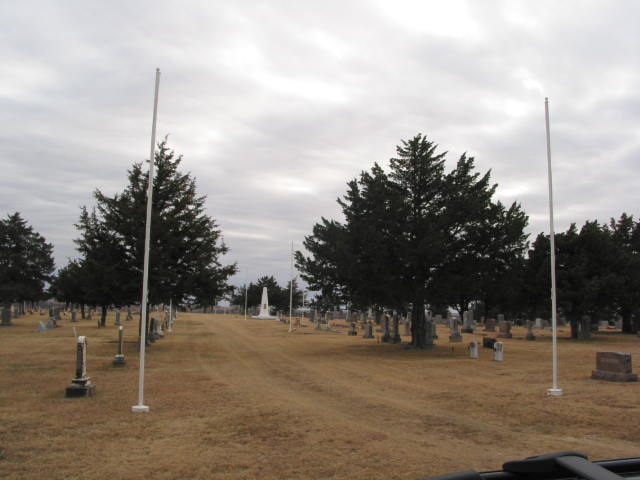
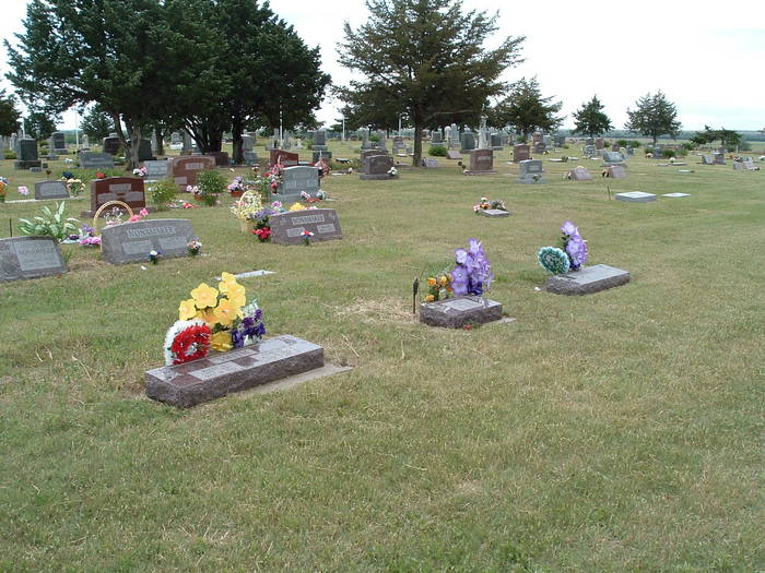
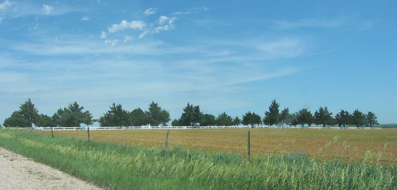
| Location | : | Cedar, Smith County, USA |
| Coordinate | : | 39.6685982, -98.9310989 |
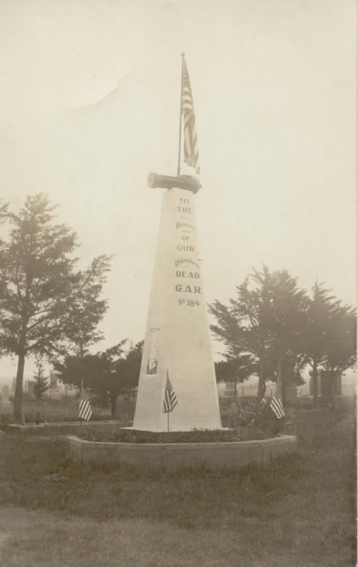
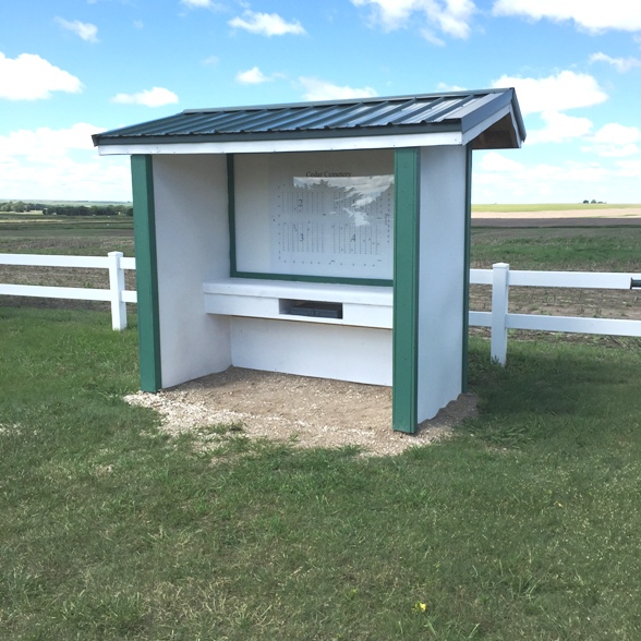
| Description | : | First Deaths: George H. Smith in the summer of 1872, Elizabeth VanDel Masterson 1873 Transcription of the first paragraph: from the little red book kept by the Cedarville, KS Cemetery Board. There is no date on this entry, but it must have been when they first acquired the land for the cemetery in the 1870's We the undersigned citizens of Cedarville and vicinity hereby find ourselves by this instrument of writing to pay the respective amounts set opposite our several names. When the necessary amount shall have been subscribed for the purpose of purchasing and financing four... Read More |
frequently asked questions (FAQ):
-
Where is Cedar Cemetery?
Cedar Cemetery is located at Cedar, Smith County ,Kansas ,USA.
-
Cedar Cemetery cemetery's updated grave count on graveviews.com?
130 memorials
-
Where are the coordinates of the Cedar Cemetery?
Latitude: 39.6685982
Longitude: -98.9310989
Nearby Cemetories:
1. Saint Francis Catholic Cemetery
Cedar, Smith County, USA
Coordinate: 39.6328011, -98.9816971
2. Saint John Lutheran Cemetery
Athol, Smith County, USA
Coordinate: 39.7269900, -98.8971600
3. Christ Cemetery
Gaylord, Smith County, USA
Coordinate: 39.6988100, -98.8556700
4. Gaylord Cemetery
Gaylord, Smith County, USA
Coordinate: 39.6598300, -98.8416700
5. Leasburg Cemetery
Cedar, Smith County, USA
Coordinate: 39.5819016, -98.9728012
6. Bohemian Cemetery
Claudell, Smith County, USA
Coordinate: 39.6187800, -99.0428200
7. Olive Branch Cemetery
Kensington, Smith County, USA
Coordinate: 39.7418800, -99.0470800
8. Pleasant View Cemetery
Athol, Smith County, USA
Coordinate: 39.7859000, -98.8982000
9. Saint John Lutheran Cemetery
Kensington, Smith County, USA
Coordinate: 39.7744700, -99.0308700
10. Old Harlan Cemetery
Harlan, Smith County, USA
Coordinate: 39.6153520, -98.7632390
11. Butler Cemetery
Osborne County, USA
Coordinate: 39.5400009, -98.8494034
12. Lawrence Creek Cemetery
Portis, Osborne County, USA
Coordinate: 39.5541440, -98.8148290
13. Grant Center Cemetery
Alton, Osborne County, USA
Coordinate: 39.5242004, -98.9708023
14. Hammond Cemetery
Harlan, Smith County, USA
Coordinate: 39.5896500, -98.7479700
15. Kirwin Cemetery
Kirwin, Phillips County, USA
Coordinate: 39.6781006, -99.1421967
16. Pleasant Ridge Cemetery
Kirwin, Phillips County, USA
Coordinate: 39.5963000, -99.1234000
17. Fairview Cemetery
Smith Center, Smith County, USA
Coordinate: 39.7966995, -98.7881012
18. Bell Cemetery
Smith Center, Smith County, USA
Coordinate: 39.6477700, -98.7102200
19. Agra Cemetery
Agra, Phillips County, USA
Coordinate: 39.7571600, -99.1220400
20. Zion Cemetery
Athol, Smith County, USA
Coordinate: 39.8434100, -98.9171700
21. Garrett Cemetery
Harlan, Smith County, USA
Coordinate: 39.5873500, -98.7290900
22. Germantown Cemetery
Kensington, Smith County, USA
Coordinate: 39.8292300, -99.0450800
23. Ash Rock Cemetery
Woodston, Rooks County, USA
Coordinate: 39.5248909, -99.0817719
24. Spring Branch Cemetery
Woodston, Rooks County, USA
Coordinate: 39.5099983, -99.0580978