
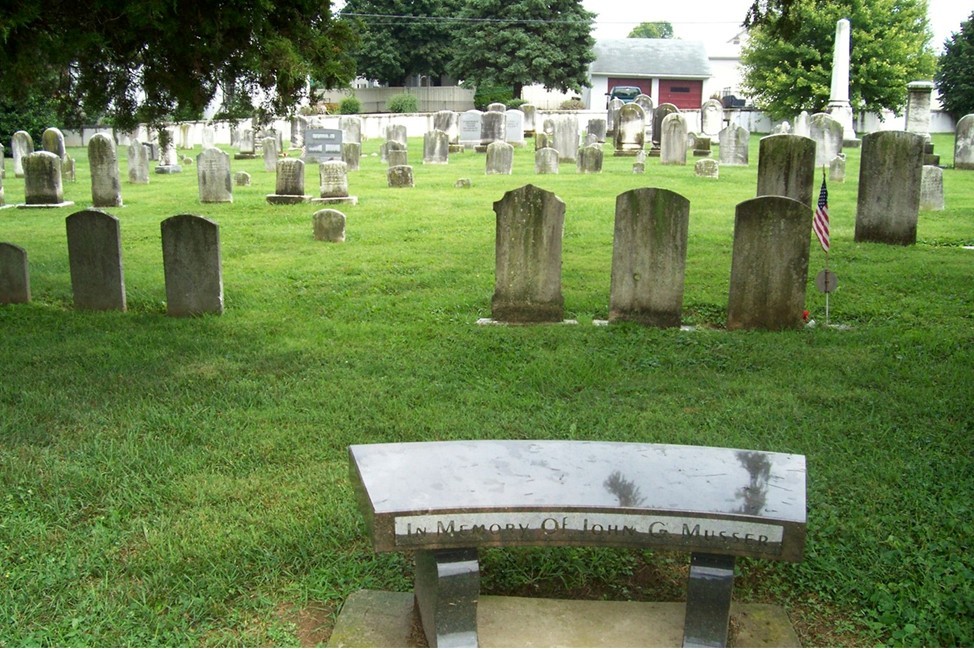
| Memorials | : | 2 |
| Location | : | East Earl, Lancaster County, USA |
| Phone | : | 717-354-5573 |
| Coordinate | : | 40.1127129, -76.0280457 |
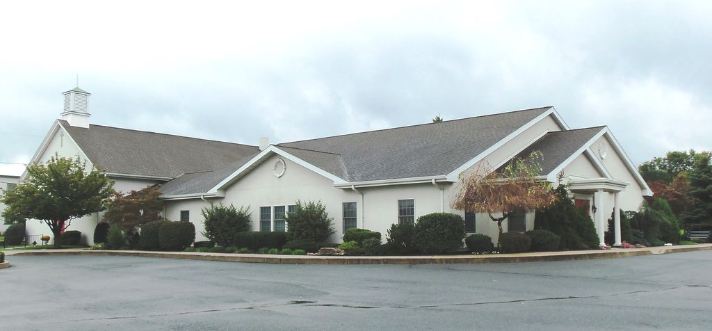
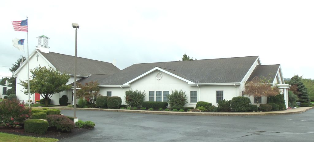
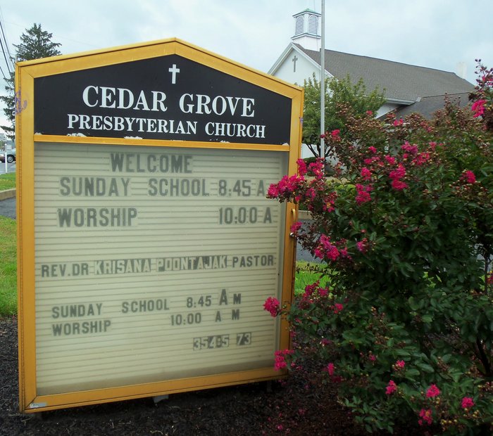
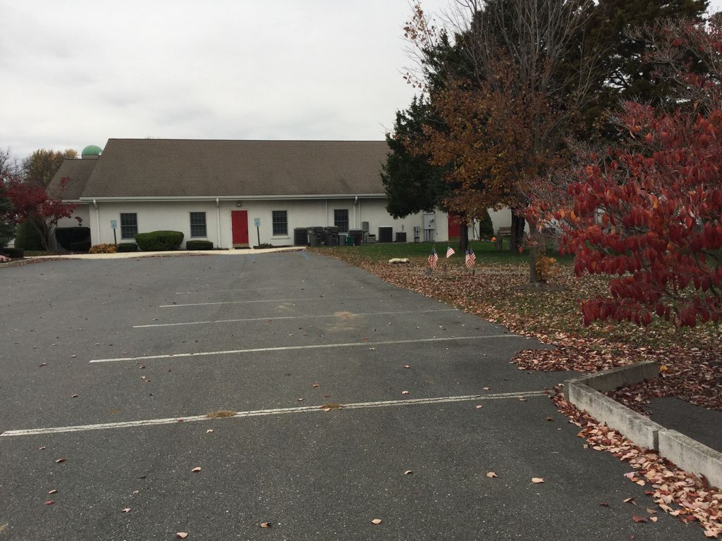
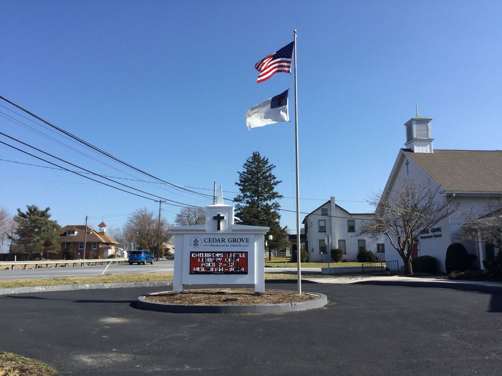
| Description | : | Cedar Grove Presbyterian Church P.O. Box 96 4833 Division Hwy. East Earl, PA 17519 |
frequently asked questions (FAQ):
-
Where is Cedar Grove Presbyterian Church Cemetery?
Cedar Grove Presbyterian Church Cemetery is located at 4833 Division Hwy. East Earl, Lancaster County ,Pennsylvania , 17519USA.
-
Cedar Grove Presbyterian Church Cemetery cemetery's updated grave count on graveviews.com?
2 memorials
-
Where are the coordinates of the Cedar Grove Presbyterian Church Cemetery?
Latitude: 40.1127129
Longitude: -76.0280457
Nearby Cemetories:
1. Blue Ball Mennonite Cemetery
Blue Ball, Lancaster County, USA
Coordinate: 40.1178000, -76.0346000
2. John Philip Ranck Cemetery
Fetterville, Lancaster County, USA
Coordinate: 40.1066000, -76.0137000
3. Weaverland Old Order Mennonite Cemetery
East Earl, Lancaster County, USA
Coordinate: 40.1250502, -76.0447072
4. Weaverland Mennonite Cemetery
East Earl, Lancaster County, USA
Coordinate: 40.1276000, -76.0432000
5. Goodville Mennonite Cemetery
Goodville, Lancaster County, USA
Coordinate: 40.1245640, -76.0055960
6. Blue Ball Church of the Brethren Cemetery
Blue Ball, Lancaster County, USA
Coordinate: 40.1155000, -76.0577000
7. Spring Grove Mennonite Church Cemetery
East Earl, Lancaster County, USA
Coordinate: 40.1470460, -76.0339530
8. Bethany Grace Fellowship Cemetery
East Earl, Lancaster County, USA
Coordinate: 40.1494920, -76.0280410
9. Mount Hope Christian Chapel Cemetery
Gap, Lancaster County, USA
Coordinate: 40.0760790, -76.0113160
10. Lichty's Mennonite Church Cemetery
East Earl, Lancaster County, USA
Coordinate: 40.1489000, -75.9985000
11. Saint Johns Evangelical Lutheran Church Cemetery
East Earl, Lancaster County, USA
Coordinate: 40.1619420, -76.0139810
12. Mount Culmen Evangelical Congregational Cemetery
East Earl, Lancaster County, USA
Coordinate: 40.1558120, -75.9914540
13. Meadville Mennonite Cemetery
Gap, Lancaster County, USA
Coordinate: 40.0717020, -75.9875280
14. Bangor Episcopal Cemetery
Churchtown, Lancaster County, USA
Coordinate: 40.1338081, -75.9614944
15. Caernarvon Church Cemetery
Churchtown, Lancaster County, USA
Coordinate: 40.1339000, -75.9577000
16. Gault Graveyard
Gap, Lancaster County, USA
Coordinate: 40.0698060, -75.9767970
17. Churchtown United Methodist Church Cemetery
Churchtown, Lancaster County, USA
Coordinate: 40.1352400, -75.9564230
18. Churchtown Old Order Mennonite Cemetery
Churchtown, Lancaster County, USA
Coordinate: 40.1364720, -75.9531210
19. Centerville Mennonite Church Cemetery
Centerville, Lancaster County, USA
Coordinate: 40.1646910, -76.0820920
20. Pequea Presbyterian Cemetery
Gap, Lancaster County, USA
Coordinate: 40.0523380, -75.9916900
21. Lessley Cemetery
Brecknock Township, Lancaster County, USA
Coordinate: 40.1774060, -76.0545190
22. Messner's Grave Yard
Bowmansville, Lancaster County, USA
Coordinate: 40.1805680, -76.0312060
23. Blank Cemetery
Lancaster County, USA
Coordinate: 40.0448520, -76.0386890
24. Dry Hill Amish Cemetery
Gordonville, Lancaster County, USA
Coordinate: 40.0554590, -76.0776300