
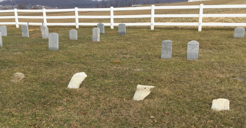
| Memorials | : | 0 |
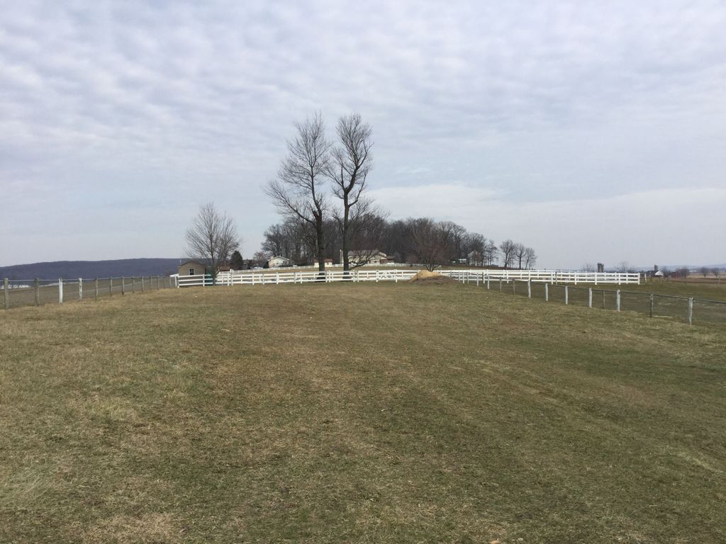
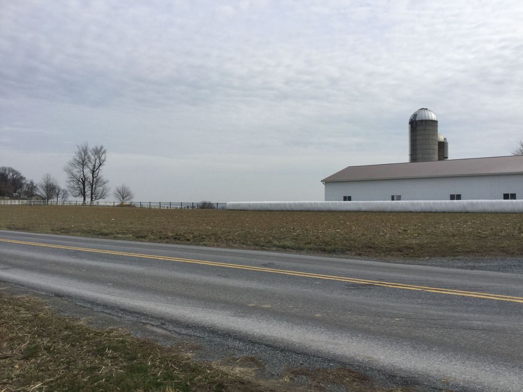
| Location | : | Gordonville, Lancaster County, USA |
| Coordinate | : | 40.0554590, -76.0776300 |
frequently asked questions (FAQ):
-
Where is Dry Hill Amish Cemetery?
Dry Hill Amish Cemetery is located at Gordonville, Lancaster County ,Pennsylvania , 17529USA.
-
Dry Hill Amish Cemetery cemetery's updated grave count on graveviews.com?
0 memorials
-
Where are the coordinates of the Dry Hill Amish Cemetery?
Latitude: 40.0554590
Longitude: -76.0776300
Nearby Cemetories:
1. Ridgeview Mennonite Church Cemetery
Gordonville, Lancaster County, USA
Coordinate: 40.0532417, -76.0984879
2. Lerew Cemetery
York County, USA
Coordinate: 40.0378350, -76.0726380
3. Intercourse United Methodist Cemetery
Intercourse, Lancaster County, USA
Coordinate: 40.0351430, -76.1059160
4. Horst Family Cemetery
Gordonville, Lancaster County, USA
Coordinate: 40.0265630, -76.0637490
5. Blank Cemetery
Lancaster County, USA
Coordinate: 40.0448520, -76.0386890
6. Spring Garden Cemetery
Kinzers, Lancaster County, USA
Coordinate: 40.0384600, -76.0339360
7. Old Leacock Presbyterian Church Cemetery
Intercourse, Lancaster County, USA
Coordinate: 40.0387192, -76.1331482
8. Mount Hope Christian Chapel Cemetery
Gap, Lancaster County, USA
Coordinate: 40.0760790, -76.0113160
9. Gordonville Cemetery
Gordonville, Lancaster County, USA
Coordinate: 40.0228310, -76.1359620
10. Kinzers Mennonite Cemetery
Kinzers, Lancaster County, USA
Coordinate: 40.0001869, -76.0650101
11. Pequea Evangelical Congregational Church Cemetery
Gap, Lancaster County, USA
Coordinate: 40.0334960, -76.0083930
12. Blue Ball Church of the Brethren Cemetery
Blue Ball, Lancaster County, USA
Coordinate: 40.1155000, -76.0577000
13. Millwood Mennonite Cemetery
Gap, Lancaster County, USA
Coordinate: 40.0159970, -76.0146190
14. Pequea Presbyterian Cemetery
Gap, Lancaster County, USA
Coordinate: 40.0523380, -75.9916900
15. Cedar Grove Presbyterian Church Cemetery
East Earl, Lancaster County, USA
Coordinate: 40.1127129, -76.0280457
16. Soudersburg Old Methodist Church Cemetery
East Lampeter Township, Lancaster County, USA
Coordinate: 40.0133390, -76.1488470
17. Stumptown Mennonite Cemetery
Bird in Hand, Lancaster County, USA
Coordinate: 40.0620308, -76.1673508
18. Blue Ball Mennonite Cemetery
Blue Ball, Lancaster County, USA
Coordinate: 40.1178000, -76.0346000
19. John Philip Ranck Cemetery
Fetterville, Lancaster County, USA
Coordinate: 40.1066000, -76.0137000
20. Meadville Mennonite Cemetery
Gap, Lancaster County, USA
Coordinate: 40.0717020, -75.9875280
21. Hershey-Groff Cemetery
Bareville, Lancaster County, USA
Coordinate: 40.0849800, -76.1648700
22. Weaverland Old Order Mennonite Cemetery
East Earl, Lancaster County, USA
Coordinate: 40.1250502, -76.0447072
23. Weaverland Mennonite Cemetery
East Earl, Lancaster County, USA
Coordinate: 40.1276000, -76.0432000
24. Old Road Mennonite Cemetery
Gap, Lancaster County, USA
Coordinate: 40.0332489, -75.9807281