
| Memorials | : | 0 |
| Location | : | Chateaudun, Departement d'Eure-et-Loir, France |
| Coordinate | : | 48.0694771, 1.3286591 |
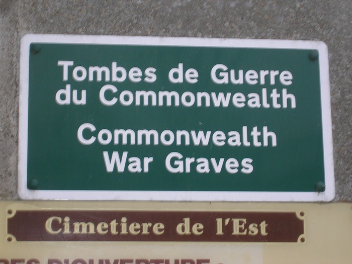
| Description | : | Chateaudun is a small town and commune some 28 miles (45 kilometres) south of Chartres on the N.10 road from Paris to Chartres and Tours. It has a railway station on the Paris-Vendome-Tours line. This cemetery, as its name implies, is on the eastern side of the town, about half-a-mile south of the station via the Boulevards Grindelle and Toutain. The main entrance is west of the Boulevard Toutain. Near the eastern boundary and north of the central path are the Commonwealth War Graves of eight airmen. Seven of them belonged to the Royal Air Force Volunteer Reserve and one... Read More |
frequently asked questions (FAQ):
-
Where is Chateaudun Eastern Communal Cemetery?
Chateaudun Eastern Communal Cemetery is located at Chateaudun, Departement d'Eure-et-Loir ,Centre ,France.
-
Chateaudun Eastern Communal Cemetery cemetery's updated grave count on graveviews.com?
0 memorials
-
Where are the coordinates of the Chateaudun Eastern Communal Cemetery?
Latitude: 48.0694771
Longitude: 1.3286591
Nearby Cemetories:
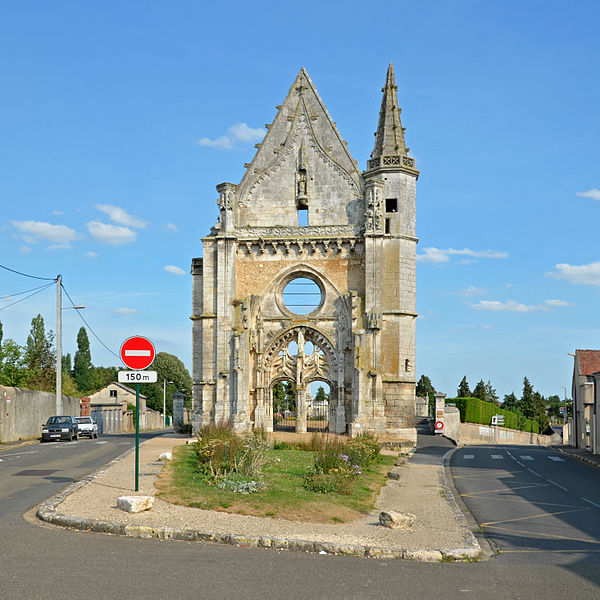
1. Église de Montharville
Montharville, Departement d'Eure-et-Loir, France
Coordinate: 48.1844000, 1.3319000
2. Moisy Communal Cemetery
Moisy, Departement du Loir-et-Cher, France
Coordinate: 47.9124300, 1.3214900
3. Vendome Town Cemetery
Vendome, Departement du Loir-et-Cher, France
Coordinate: 47.8052110, 1.0682970
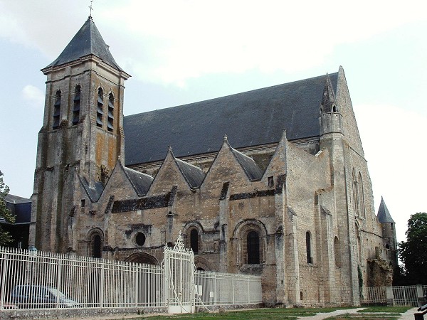
4. Collégiale Saint-Georges
Vendome, Departement du Loir-et-Cher, France
Coordinate: 47.7936110, 1.0663890
5. Abbaye de la Trinité
Vendome, Departement du Loir-et-Cher, France
Coordinate: 47.7911110, 1.0688890
6. Abbaye de la Sainte-Trinité de Tiron
Thiron Gardais, Departement d'Eure-et-Loir, France
Coordinate: 48.3127060, 0.9944810
7. Church of Saint-Georges (Defunct)
Vendome, Departement du Loir-et-Cher, France
Coordinate: 47.7891290, 1.0655560
8. Seris Communal Cemetery
Seris, Departement du Loir-et-Cher, France
Coordinate: 47.7565900, 1.5043200
9. Cimetière protestant Pont Tranchefétu
Fontenay-sur-Eure, Departement d'Eure-et-Loir, France
Coordinate: 48.4021000, 1.3889000
10. Villiers-sur-Loir Communal Cemetery
Villiers-sur-Loir, Departement du Loir-et-Cher, France
Coordinate: 47.8035800, 0.9910300
11. Cimetière de Beaugency
Beaugency, Departement du Loiret, France
Coordinate: 47.7828700, 1.6350900
12. Thore Cemetery
Thore-la-Rochette, Departement du Loir-et-Cher, France
Coordinate: 47.7903454, 0.9685482
13. Basilique Notre-Dame de Cléry-Saint-André
Clery-Saint-Andre, Departement du Loiret, France
Coordinate: 47.8201140, 1.7552300
14. La Chapelle-St. Mesmin Communal Cemetery
La Chapelle-Saint-Mesmin, Departement du Loiret, France
Coordinate: 47.8890900, 1.8445300
15. Abbaye Saint-Père-en-Vallée
Chartres, Departement d'Eure-et-Loir, France
Coordinate: 48.4438400, 1.4928600
16. Cimetiere St. Cheron
Chartres, Departement d'Eure-et-Loir, France
Coordinate: 48.4462100, 1.5015900
17. St. Laurent-des-Eaux Communal Cemetery
Saint-Laurent-Nouan, Departement du Loir-et-Cher, France
Coordinate: 47.7189600, 1.6164400
18. Saint Rimay Cemetery
Saint-Rimay, Departement du Loir-et-Cher, France
Coordinate: 47.7671450, 0.9147830
19. Ouarville
Ouarville, Departement d'Eure-et-Loir, France
Coordinate: 48.3542756, 1.7792972
20. Grand Cimetiere d'Orleans
Orleans, Departement du Loiret, France
Coordinate: 47.9179140, 1.9101860
21. Orleans Cathedrale
Orleans, Departement du Loiret, France
Coordinate: 47.9018920, 1.9102350
22. Collégiale Saint-Aignan d'Orléans
Orleans, Departement du Loiret, France
Coordinate: 47.8989600, 1.9153610
23. Jouy-le-Potier Communal Cemetery
Jouy-le-Potier, Departement du Loiret, France
Coordinate: 47.7480200, 1.8110600
24. Chapelle royale de Chambord
Chambord, Departement du Loir-et-Cher, France
Coordinate: 47.6159725, 1.5160940