| Memorials | : | 0 |
| Location | : | Vendome, Departement du Loir-et-Cher, France |
| Coordinate | : | 47.8052110, 1.0682970 |
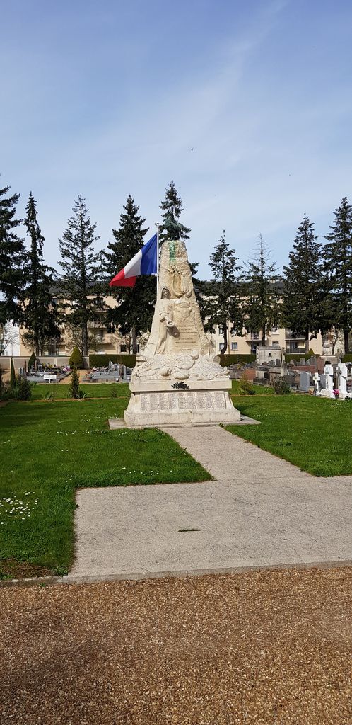
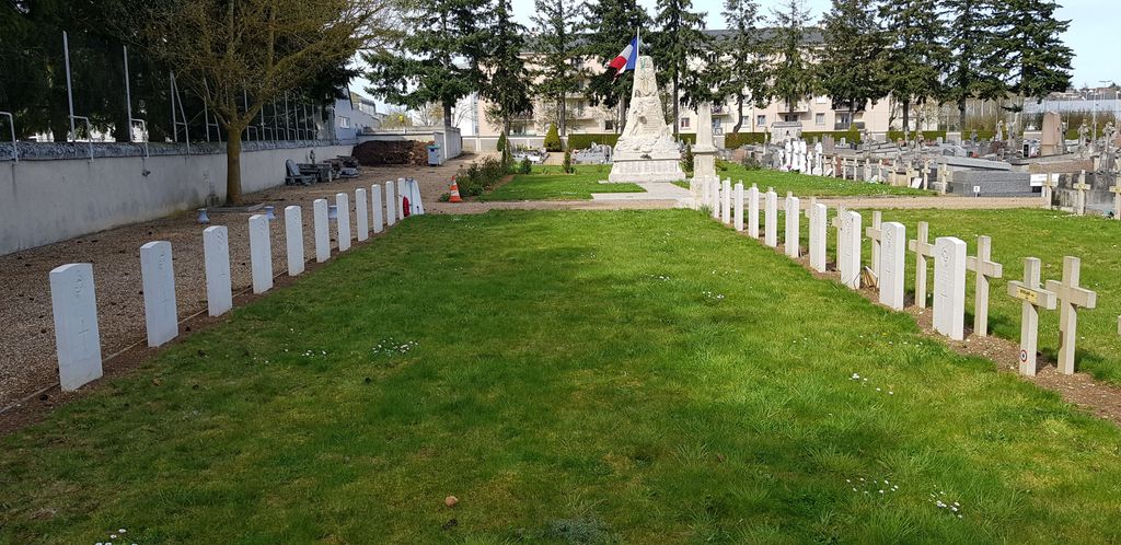
| Description | : | Vendôme is a town situated 80 kilometres south-west of Chartres. The Cemetery is at the junction of Rue du Vingtieme Chasseurs and Rue de la Tuillerie. Take the route to Chartres from town and turn left at the first set of lights after the railway crossing. The graves are in the right hand corner by the war memorial in the French Military Plot. A Flying School was opened by the R. N. A. S. at Vendôme in November, 1916, and gradually expanded; the choice of the site was dictated by the fact that the winter weather in Central France is more... Read More |
frequently asked questions (FAQ):
-
Where is Vendome Town Cemetery?
Vendome Town Cemetery is located at Vendome, Departement du Loir-et-Cher ,Centre ,France.
-
Vendome Town Cemetery cemetery's updated grave count on graveviews.com?
0 memorials
-
Where are the coordinates of the Vendome Town Cemetery?
Latitude: 47.8052110
Longitude: 1.0682970
Nearby Cemetories:
1. Collégiale Saint-Georges
Vendome, Departement du Loir-et-Cher, France
Coordinate: 47.7936110, 1.0663890
2. Abbaye de la Trinité
Vendome, Departement du Loir-et-Cher, France
Coordinate: 47.7911110, 1.0688890
3. Church of Saint-Georges (Defunct)
Vendome, Departement du Loir-et-Cher, France
Coordinate: 47.7891290, 1.0655560
4. Villiers-sur-Loir Communal Cemetery
Villiers-sur-Loir, Departement du Loir-et-Cher, France
Coordinate: 47.8035800, 0.9910300
5. Thore Cemetery
Thore-la-Rochette, Departement du Loir-et-Cher, France
Coordinate: 47.7903454, 0.9685482
6. Saint Rimay Cemetery
Saint-Rimay, Departement du Loir-et-Cher, France
Coordinate: 47.7671450, 0.9147830
7. Moisy Communal Cemetery
Moisy, Departement du Loir-et-Cher, France
Coordinate: 47.9124300, 1.3214900
8. Souge-sur-Braye Communal Cemetery
Souge, Departement du Loir-et-Cher, France
Coordinate: 47.7701400, 0.7302300
9. Chateau Renault Communal Cemetery
Chateau-Renault, Departement d'Indre-et-Loire, France
Coordinate: 47.5980800, 0.9118300
10. Cimetière La-Forêt
Blois, Departement du Loir-et-Cher, France
Coordinate: 47.5918600, 1.2864761
11. Cimetière Blois-Ville
Blois, Departement du Loir-et-Cher, France
Coordinate: 47.5894230, 1.3215856
12. Eglise Saint-Nicolas
Blois, Departement du Loir-et-Cher, France
Coordinate: 47.5841420, 1.3313960
13. Abbaye Saint-Laumer de Blois
Blois, Departement du Loir-et-Cher, France
Coordinate: 47.5837200, 1.3318980
14. Cimetière des Grouëts
Blois, Departement du Loir-et-Cher, France
Coordinate: 47.5550338, 1.2866732
15. Cimetiere Blois-Vienne
Blois, Departement du Loir-et-Cher, France
Coordinate: 47.5782200, 1.3394600
16. Seris Communal Cemetery
Seris, Departement du Loir-et-Cher, France
Coordinate: 47.7565900, 1.5043200
17. Chateaudun Eastern Communal Cemetery
Chateaudun, Departement d'Eure-et-Loir, France
Coordinate: 48.0694771, 1.3286591
18. Cimetière communal de Rilly-sur-Loire
Rilly-sur-Loire, Departement du Loir-et-Cher, France
Coordinate: 47.4668000, 1.1374000
19. Cimetiere Limeray
Limeray, Departement d'Indre-et-Loire, France
Coordinate: 47.4615163, 1.0433687
20. Cimetière de Cellettes
Cellettes, Departement du Loir-et-Cher, France
Coordinate: 47.5317266, 1.3808086
21. Chapelle royale de Chambord
Chambord, Departement du Loir-et-Cher, France
Coordinate: 47.6159725, 1.5160940
22. Cimetière de Beaumont-la Ronce
Beaumont-la-Ronce, Departement d'Indre-et-Loire, France
Coordinate: 47.5682270, 0.6691530
23. St. Laurent-des-Eaux Communal Cemetery
Saint-Laurent-Nouan, Departement du Loir-et-Cher, France
Coordinate: 47.7189600, 1.6164400
24. Cimetière de Beaugency
Beaugency, Departement du Loiret, France
Coordinate: 47.7828700, 1.6350900


