
| Memorials | : | 0 |
| Location | : | Delta, Clay County, USA |
| Coordinate | : | 33.4899412, -85.8123006 |
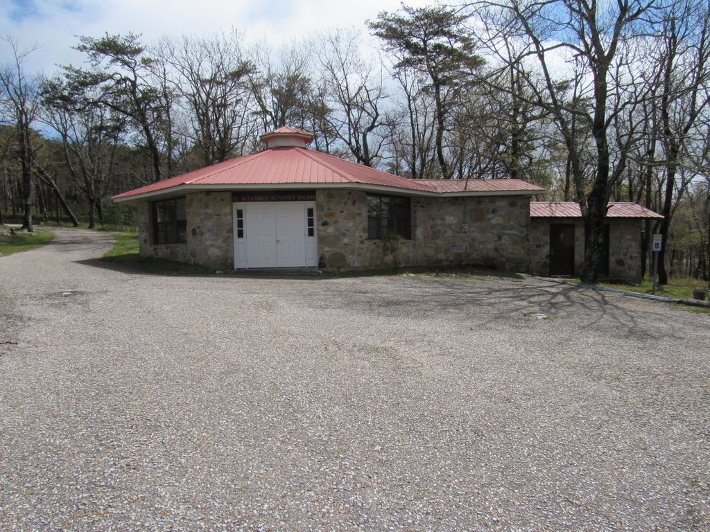
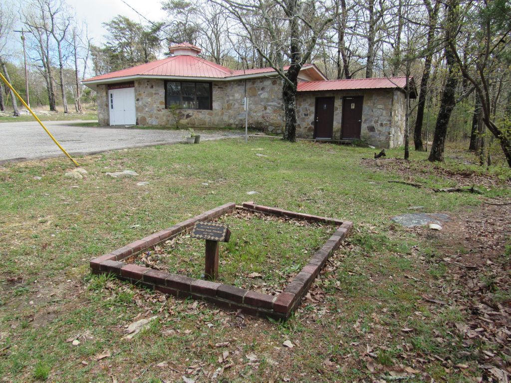
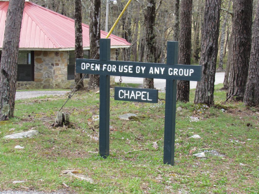
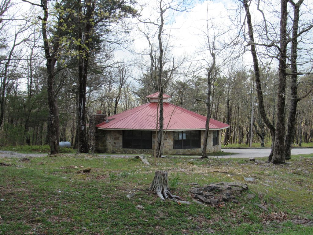
| Description | : | There is a single grave at the chapel in the Cheaha State Park. The building is also know as the, Al Alexander Activities Building. Part of the state park is also in Cleburne County. |
frequently asked questions (FAQ):
-
Where is Cheaha State Park Chapel Cemetery?
Cheaha State Park Chapel Cemetery is located at 19644 Hwy 281, Delta AL Delta, Clay County ,Alabama , 36258USA.
-
Cheaha State Park Chapel Cemetery cemetery's updated grave count on graveviews.com?
0 memorials
-
Where are the coordinates of the Cheaha State Park Chapel Cemetery?
Latitude: 33.4899412
Longitude: -85.8123006
Nearby Cemetories:
1. Ebenezer Cemetery
Cragford, Clay County, USA
Coordinate: 33.4658012, -85.8458023
2. Salt Creek Cemetery
Munford, Talladega County, USA
Coordinate: 33.5109010, -85.8531240
3. Macedonia Missionary Baptist Church Cemetery
Delta, Clay County, USA
Coordinate: 33.4906500, -85.7541300
4. Union Dempsey Baptist Church Cemetery
Clay County, USA
Coordinate: 33.4458008, -85.7750015
5. Good Hope Cemetery
Clay County, USA
Coordinate: 33.4592000, -85.7333000
6. Antioch Baptist Church Cemetery #1
Oxford, Talladega County, USA
Coordinate: 33.5595760, -85.8382630
7. Hopeful Cemetery
Hopeful, Talladega County, USA
Coordinate: 33.4940000, -85.9052500
8. Hopeful Baptist Cemetery
Hopeful, Talladega County, USA
Coordinate: 33.4935600, -85.9093300
9. Old Hopeful Cemetery
Hopeful, Talladega County, USA
Coordinate: 33.4913830, -85.9125170
10. Brock-Hinds Graves
Oxford, Talladega County, USA
Coordinate: 33.5741200, -85.8475100
11. Mannings Chapel Cemetery
Clay County, USA
Coordinate: 33.3969002, -85.8050003
12. Pine Ridge Cemetery
Talladega County, USA
Coordinate: 33.5841300, -85.8028300
13. Bethlehem Baptist Church Cemetery
Oxford, Calhoun County, USA
Coordinate: 33.5802994, -85.7696991
14. Miller Family Cemetery
Silver Run, Talladega County, USA
Coordinate: 33.5614300, -85.8940100
15. Mount Olive Cemetery North
Delta, Clay County, USA
Coordinate: 33.4165410, -85.7318120
16. Providence Cemetery
Clay County, USA
Coordinate: 33.4077988, -85.7444000
17. Open Door Baptist Church Cemetery
Delta, Clay County, USA
Coordinate: 33.4743860, -85.6932910
18. Abel Cemetery
Abel, Cleburne County, USA
Coordinate: 33.5491982, -85.7121964
19. Bethel Cemetery
Delta, Clay County, USA
Coordinate: 33.4893990, -85.6841965
20. Lebanon Cemetery
Silver Run, Talladega County, USA
Coordinate: 33.5664800, -85.9031200
21. Ragan Chapel Cemetery
Clay County, USA
Coordinate: 33.4942017, -85.6830978
22. New Lebanon Presbyterian Church Cemetery
Talladega County, USA
Coordinate: 33.5669289, -85.9036484
23. Horse Creek Cemetery
Watts Crossroads, Clay County, USA
Coordinate: 33.4221992, -85.9178009
24. Trinity Baptist Church Cemetery
Oxford, Calhoun County, USA
Coordinate: 33.5895004, -85.8727036