
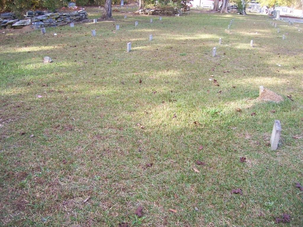
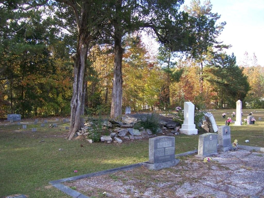
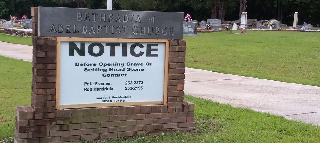
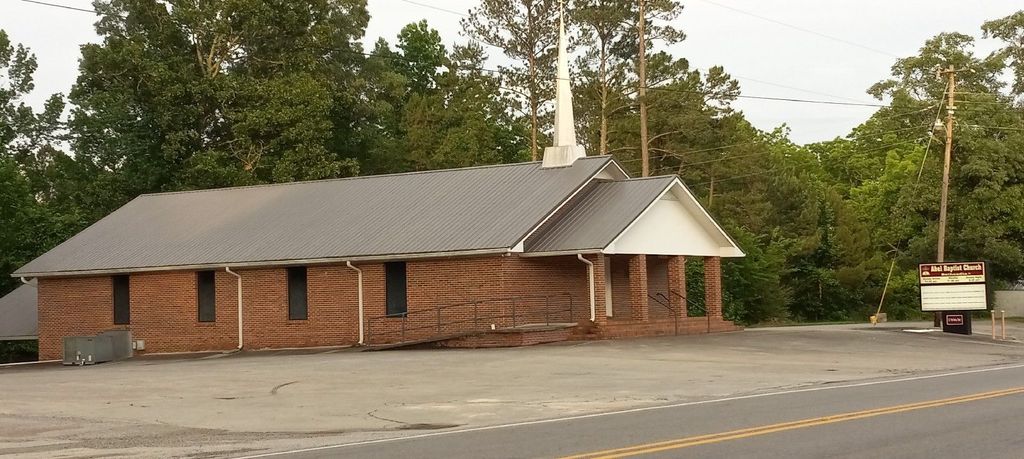
| Memorials | : | 1 |
| Location | : | Abel, Cleburne County, USA |
| Coordinate | : | 33.5491982, -85.7121964 |
| Description | : | Township 17, Range 9, Section 17 |
frequently asked questions (FAQ):
-
Where is Abel Cemetery?
Abel Cemetery is located at Abel, Cleburne County ,Alabama ,USA.
-
Abel Cemetery cemetery's updated grave count on graveviews.com?
1 memorials
-
Where are the coordinates of the Abel Cemetery?
Latitude: 33.5491982
Longitude: -85.7121964

Nearby Cemetories:
1. Liberty Hill Methodist Church Cemetery
Chulafinnee, Cleburne County, USA
Coordinate: 33.5681000, -85.6650009
2. Chulafinnee Methodist Church Cemetery
Chulafinnee, Cleburne County, USA
Coordinate: 33.5405006, -85.6503983
3. Chulafinnee Baptist Church Cemetery
Chulafinnee, Cleburne County, USA
Coordinate: 33.5441380, -85.6465090
4. Bethlehem Baptist Church Cemetery
Oxford, Calhoun County, USA
Coordinate: 33.5802994, -85.7696991
5. Ragan Chapel Cemetery
Clay County, USA
Coordinate: 33.4942017, -85.6830978
6. Bethlehem Primitive Baptist Church Cemetery
Heflin, Cleburne County, USA
Coordinate: 33.5766983, -85.6466980
7. Lighthouse Independent Baptist Cemetery
Hollis Crossroads, Cleburne County, USA
Coordinate: 33.5084980, -85.6543850
8. Bethel Cemetery
Delta, Clay County, USA
Coordinate: 33.4893990, -85.6841965
9. Sunny Eve Cemetery
Oxford, Calhoun County, USA
Coordinate: 33.6087900, -85.7495000
10. Macedonia Missionary Baptist Church Cemetery
Delta, Clay County, USA
Coordinate: 33.4906500, -85.7541300
11. Mountain Grove Baptist Church Cemetery
Heflin, Cleburne County, USA
Coordinate: 33.5615190, -85.6254730
12. Open Door Baptist Church Cemetery
Delta, Clay County, USA
Coordinate: 33.4743860, -85.6932910
13. DeArmanville Methodist Church Cemetery
DeArmanville, Calhoun County, USA
Coordinate: 33.6258011, -85.7510986
14. Pine Ridge Cemetery
Talladega County, USA
Coordinate: 33.5841300, -85.8028300
15. Pleasant Hill Baptist Church Cemetery
Heflin, Cleburne County, USA
Coordinate: 33.5555992, -85.6117020
16. Good Hope Cemetery
Clay County, USA
Coordinate: 33.4592000, -85.7333000
17. Oconee Cemetery
Oxford, Calhoun County, USA
Coordinate: 33.6152992, -85.7953033
18. Union Grove Cemetery
Golden Springs, Calhoun County, USA
Coordinate: 33.6293983, -85.7825012
19. Hepsabah Cemetery
Hollis Crossroads, Cleburne County, USA
Coordinate: 33.5008011, -85.6078033
20. Harmony Baptist Church Cemetery
Choccolocco, Calhoun County, USA
Coordinate: 33.6496500, -85.7164050
21. Sacred Heart Catholic Church
Anniston, Calhoun County, USA
Coordinate: 33.6311930, -85.7838320
22. Moore Family Cemetery
Golden Springs, Calhoun County, USA
Coordinate: 33.6279270, -85.7893550
23. Cheaha State Park Chapel Cemetery
Delta, Clay County, USA
Coordinate: 33.4899412, -85.8123006
24. Antioch Baptist Church Cemetery #1
Oxford, Talladega County, USA
Coordinate: 33.5595760, -85.8382630