
| Memorials | : | 0 |
| Location | : | Orford, Estrie Region, Canada |
| Coordinate | : | 45.3094500, -72.1702800 |
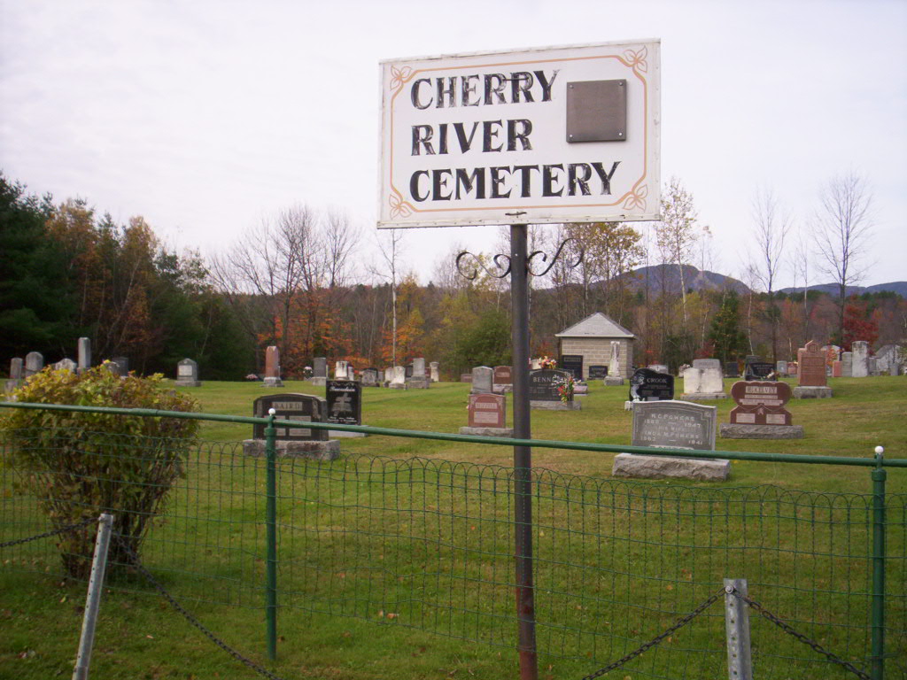
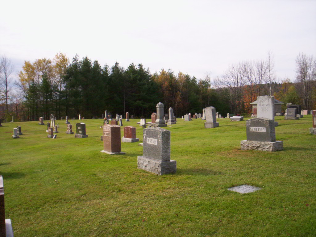
| Description | : | From Autoroute 10 near Magog, take exit 118 (Orford). You will soon be in the town of Cherry River although you would not know it as the English name has all but been removed. Watch for Courtemarche Street on your left. The cemetery is on this street after it becomes gravel on your right at the top of a little hill and with a great view of the valley below. This cemetery situated near Orford Mountain has been in use since the 1870's and is still used today. It is well kept and almost all stones are legible. |
frequently asked questions (FAQ):
-
Where is Cherry River Cemetery?
Cherry River Cemetery is located at Orford, Estrie Region ,Quebec ,Canada.
-
Cherry River Cemetery cemetery's updated grave count on graveviews.com?
0 memorials
-
Where are the coordinates of the Cherry River Cemetery?
Latitude: 45.3094500
Longitude: -72.1702800
Nearby Cemetories:
1. Cimetière Saint-Patrice
Magog, Estrie Region, Canada
Coordinate: 45.2795820, -72.1460800
2. Pine Hill Cemetery
Magog, Estrie Region, Canada
Coordinate: 45.2779970, -72.1475710
3. Cimetière Saint-Édouard
Eastman, Estrie Region, Canada
Coordinate: 45.2956100, -72.3056490
4. Silver Valley Cemetery
Eastman, Estrie Region, Canada
Coordinate: 45.3203910, -72.3128540
5. Bryant Cemetery
Channel, Estrie Region, Canada
Coordinate: 45.2127800, -72.2341700
6. Oliver Corner Cemetery
Oliver Corner, Estrie Region, Canada
Coordinate: 45.2036160, -72.1927880
7. Cimetière Notre-Dame
Bonsecours, Estrie Region, Canada
Coordinate: 45.4085220, -72.3028590
8. McConnell Cemetery
Ayer's Cliff, Estrie Region, Canada
Coordinate: 45.1968570, -72.0575140
9. East Bolton Cemetery
Bolton-Est, Estrie Region, Canada
Coordinate: 45.1944500, -72.2809800
10. Ives Cemetery
Georgeville, Estrie Region, Canada
Coordinate: 45.1732900, -72.2231800
11. Cimetière catholique d'Austin
Austin, Estrie Region, Canada
Coordinate: 45.1840000, -72.2735300
12. Cimetière Sainte-Élisabeth
North Hatley, Estrie Region, Canada
Coordinate: 45.2861600, -71.9637000
13. Reedsville Cemetery
North Hatley, Estrie Region, Canada
Coordinate: 45.2870700, -71.9633500
14. Cimetière Saint-Benoît du Lac
Saint-Benoît-du-Lac, Estrie Region, Canada
Coordinate: 45.1676110, -72.2721660
15. Ayer's Cliff Cemetery
Ayer's Cliff, Estrie Region, Canada
Coordinate: 45.1702300, -72.0423600
16. Cimetière Saint-Laurent
Lawrenceville, Estrie Region, Canada
Coordinate: 45.4255640, -72.3409870
17. Lawrenceville Methodist Cemetery
Lawrenceville, Estrie Region, Canada
Coordinate: 45.4213040, -72.3490530
18. Ayer's Flat Cemetery
Ayer's Cliff, Estrie Region, Canada
Coordinate: 45.1688720, -72.0385300
19. Stickney Cemetery
Fitch Bay, Estrie Region, Canada
Coordinate: 45.1414430, -72.1528920
20. Bolton Centre Cemetery
Bolton Centre, Estrie Region, Canada
Coordinate: 45.2013400, -72.3585100
21. Brown's Hill Cemetery
Ayer's Cliff, Estrie Region, Canada
Coordinate: 45.1480900, -72.0897100
22. Lakeview Cemetery
North Hatley, Estrie Region, Canada
Coordinate: 45.2236900, -71.9573900
23. Glenbrook Cemetery
Knowlton Landing, Estrie Region, Canada
Coordinate: 45.1643380, -72.3069160
24. Cimetière Précieux Sang
Hatley, Estrie Region, Canada
Coordinate: 45.3239040, -71.9230380