
| Memorials | : | 0 |
| Location | : | Knowlton Landing, Estrie Region, Canada |
| Coordinate | : | 45.1643380, -72.3069160 |
| Description | : | Directions: Out of Sherbrooke, Quebec, take the Eastern Townships Autoroute 10 West, to the St.-Benoit-Du-Lac exit (Exit # 115), then follow Route 112 East in the directon of Magog, Quebec, to the intersection of Route 112 and Chemin des Peres. Follow Chemin des Peres for about 8 miles to the Village of Austin. Chemin des Peres becomes Chemin Nicholas Austin when you reach the Austin townline. At the four corners in Austin, continue straight and watch for a sign that says "Knowltons Landing". Make a left turn onto that road, and then watch for Chemin Penfield. This road... Read More |
frequently asked questions (FAQ):
-
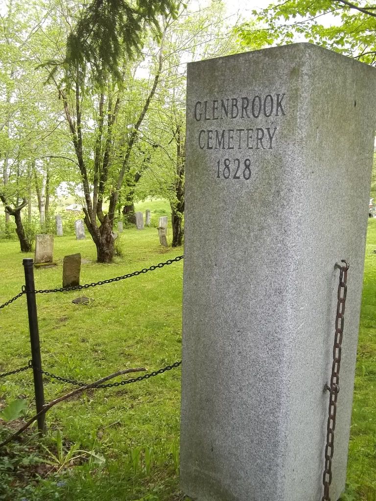
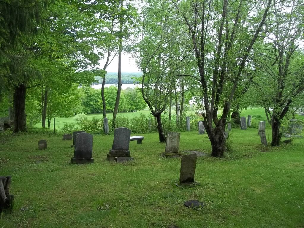
Where is Glenbrook Cemetery?
Glenbrook Cemetery is located at Knowlton Landing, Estrie Region ,Quebec ,Canada.
-
Glenbrook Cemetery cemetery's updated grave count on graveviews.com?
0 memorials
-
Where are the coordinates of the Glenbrook Cemetery?
Latitude: 45.1643380
Longitude: -72.3069160
Nearby Cemetories:
1. Knowlton Maplehurst Farm Cemetery
Knowlton Landing, Estrie Region, Canada
Coordinate: 45.1506647, -72.2954754
2. Cimetière Saint-Benoît du Lac
Saint-Benoît-du-Lac, Estrie Region, Canada
Coordinate: 45.1676110, -72.2721660
3. Cimetière catholique d'Austin
Austin, Estrie Region, Canada
Coordinate: 45.1840000, -72.2735300
4. East Bolton Cemetery
Bolton-Est, Estrie Region, Canada
Coordinate: 45.1944500, -72.2809800
5. Bullock Cemetery
Georgeville, Estrie Region, Canada
Coordinate: 45.1433600, -72.2497700
6. Bolton Centre Cemetery
Bolton Centre, Estrie Region, Canada
Coordinate: 45.2013400, -72.3585100
7. Ives Cemetery
Georgeville, Estrie Region, Canada
Coordinate: 45.1732900, -72.2231800
8. MacPherson Cemetery
Georgeville, Estrie Region, Canada
Coordinate: 45.1183900, -72.2520300
9. Bryant Cemetery
Channel, Estrie Region, Canada
Coordinate: 45.2127800, -72.2341700
10. Oliver Corner Cemetery
Oliver Corner, Estrie Region, Canada
Coordinate: 45.2036160, -72.1927880
11. Blanchard Family Cemetery
Potton, Estrie Region, Canada
Coordinate: 45.0968370, -72.3947780
12. Fitch Bay Cemetery
Fitch Bay, Estrie Region, Canada
Coordinate: 45.1178100, -72.1844000
13. Cimetière de Saint-Ephrem
Fitch Bay, Estrie Region, Canada
Coordinate: 45.1204900, -72.1784500
14. Fuller Cemetery
Bolton-Ouest, Monteregie Region, Canada
Coordinate: 45.1933540, -72.4547550
15. Bodwell Cemetery
Applegrove, Estrie Region, Canada
Coordinate: 45.0906810, -72.1911140
16. Stickney Cemetery
Fitch Bay, Estrie Region, Canada
Coordinate: 45.1414430, -72.1528920
17. Apple Grove Cemetery
Applegrove, Estrie Region, Canada
Coordinate: 45.0815100, -72.1985800
18. Cimetière Owl's Head
Potton, Estrie Region, Canada
Coordinate: 45.0510620, -72.3073590
19. Bissell Cemetery
Amy Corners, Estrie Region, Canada
Coordinate: 45.1056610, -72.1604400
20. Mansonville Protestant Cemetery
Mansonville, Estrie Region, Canada
Coordinate: 45.0572500, -72.3923800
21. Cimetière Saint-Cajetan
Mansonville, Estrie Region, Canada
Coordinate: 45.0570400, -72.3920900
22. Cimetière Blunt
Bolton-Ouest, Monteregie Region, Canada
Coordinate: 45.2179430, -72.4723950
23. Duboyce Cemetery
Bolton-Ouest, Monteregie Region, Canada
Coordinate: 45.2384840, -72.4588040
24. Cimetière Saint-Édouard
Eastman, Estrie Region, Canada
Coordinate: 45.2956100, -72.3056490