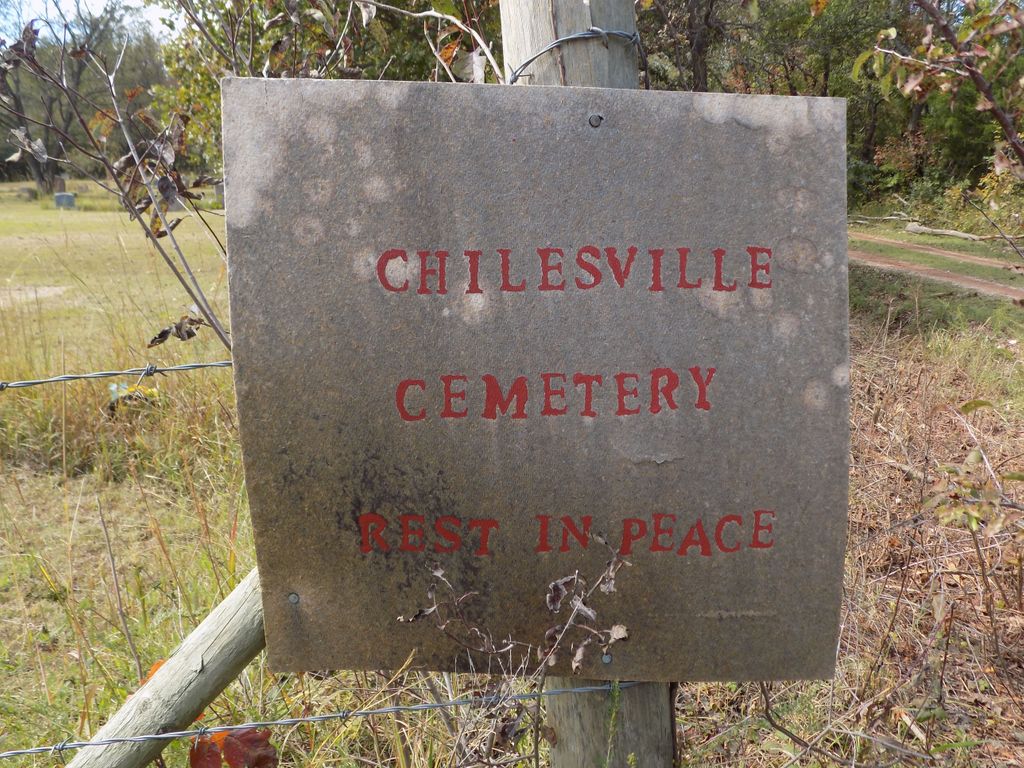
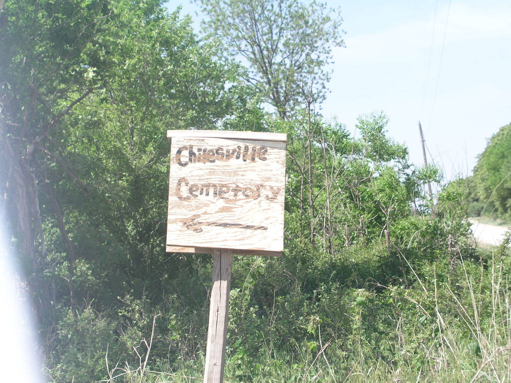
| Memorials | : | 0 |
| Location | : | Boley, Okfuskee County, USA |
| Coordinate | : | 35.5513992, -96.4957962 |
| Description | : | Cemetery note: This cemetery is an African American cemetery location Boley, Oklahoma on Highway 62, sixty-eight miles southwest of Tulsa and sixty-seven miles east of Oklahoma City. Boley Oklahoma is located halfway between Panden and Castle Oklahoma in Okfuskee County. Direction to the cemetery: From Boley Oklahoma, go North 4 miles on NS 367, then West 1 mile on EW 101. Cemetery is at the SE corner of the intersection of NS 366 and EW 101. In the NE corner of Section 6, T12N R8E. |
frequently asked questions (FAQ):
-
Where is Chilesville Cemetery?
Chilesville Cemetery is located at Boley, Okfuskee County ,Oklahoma , 74829USA.
-
Chilesville Cemetery cemetery's updated grave count on graveviews.com?
0 memorials
-
Where are the coordinates of the Chilesville Cemetery?
Latitude: 35.5513992
Longitude: -96.4957962
Nearby Cemetories:
1. Oakdale Cemetery
Paden, Okfuskee County, USA
Coordinate: 35.5161018, -96.5599976
2. Valley Grove Cemetery
Okfuskee County, USA
Coordinate: 35.5228004, -96.4233017
3. Grant Chapel Cemetery
Welty, Okfuskee County, USA
Coordinate: 35.6175300, -96.4770700
4. Boley Cemetery
Boley, Okfuskee County, USA
Coordinate: 35.4793460, -96.4994780
5. East Lawn Cemetery
Boley, Okfuskee County, USA
Coordinate: 35.4786800, -96.4948200
6. Micawber Cemetery
Okfuskee County, USA
Coordinate: 35.6253014, -96.5211029
7. Boley Mennonite Church Cemetery
Boley, Okfuskee County, USA
Coordinate: 35.4760890, -96.4593400
8. West Cemetery
Boley, Okfuskee County, USA
Coordinate: 35.4794006, -96.4496994
9. North Saint Emanual Springs Cemetery
Boley, Okfuskee County, USA
Coordinate: 35.4794400, -96.4416700
10. Fine Cemetery
Okfuskee County, USA
Coordinate: 35.5950012, -96.4036026
11. East Saint Emanuel Baptist Church Cemetery
Boley, Okfuskee County, USA
Coordinate: 35.4795100, -96.4282300
12. Welty Cemetery
Welty, Okfuskee County, USA
Coordinate: 35.6114006, -96.4056015
13. Rusk Cemetery
Boley, Okfuskee County, USA
Coordinate: 35.4498590, -96.4981130
14. Hosey Cemetery
Creek County, USA
Coordinate: 35.6394005, -96.5742035
15. Hicks Family Cemetery
Mason, Okfuskee County, USA
Coordinate: 35.5238800, -96.3585700
16. Ebenezer Cemetery
Castle, Okfuskee County, USA
Coordinate: 35.4940109, -96.3706131
17. Douglas family Cemetery
Mason, Okfuskee County, USA
Coordinate: 35.5230900, -96.3520200
18. Broyles Family Cemetery
Prague, Lincoln County, USA
Coordinate: 35.5867110, -96.6452690
19. Castle Cemetery
Castle, Okfuskee County, USA
Coordinate: 35.4603004, -96.3874969
20. Little Creek Cemetery
Aron, Creek County, USA
Coordinate: 35.6827930, -96.5109250
21. Chisholm Cemetery
Paden, Okfuskee County, USA
Coordinate: 35.4635360, -96.3714690
22. Lambdin Cemetery
Prague, Lincoln County, USA
Coordinate: 35.4991989, -96.6477966
23. McCulah Cemetery
Paden, Okfuskee County, USA
Coordinate: 35.4362370, -96.5812990
24. Frank Family Farm Cemetery
Seminole County, USA
Coordinate: 35.4207060, -96.4547250


