
| Memorials | : | 13 |
| Location | : | Sandusky, Erie County, USA |
| Coordinate | : | 41.4496660, -82.7252970 |
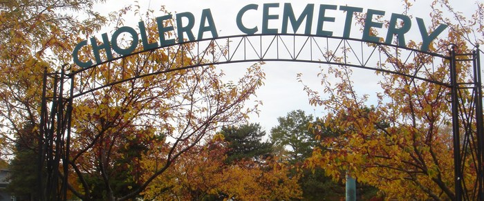
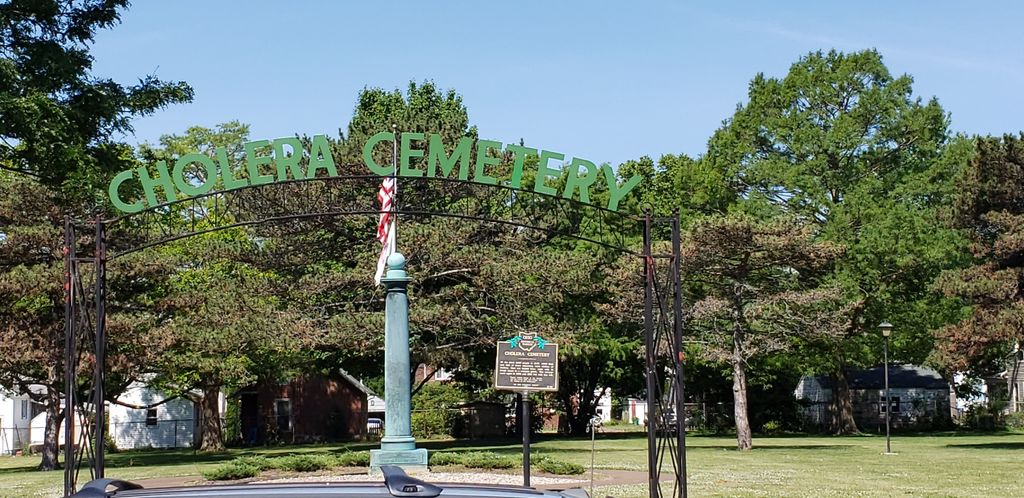
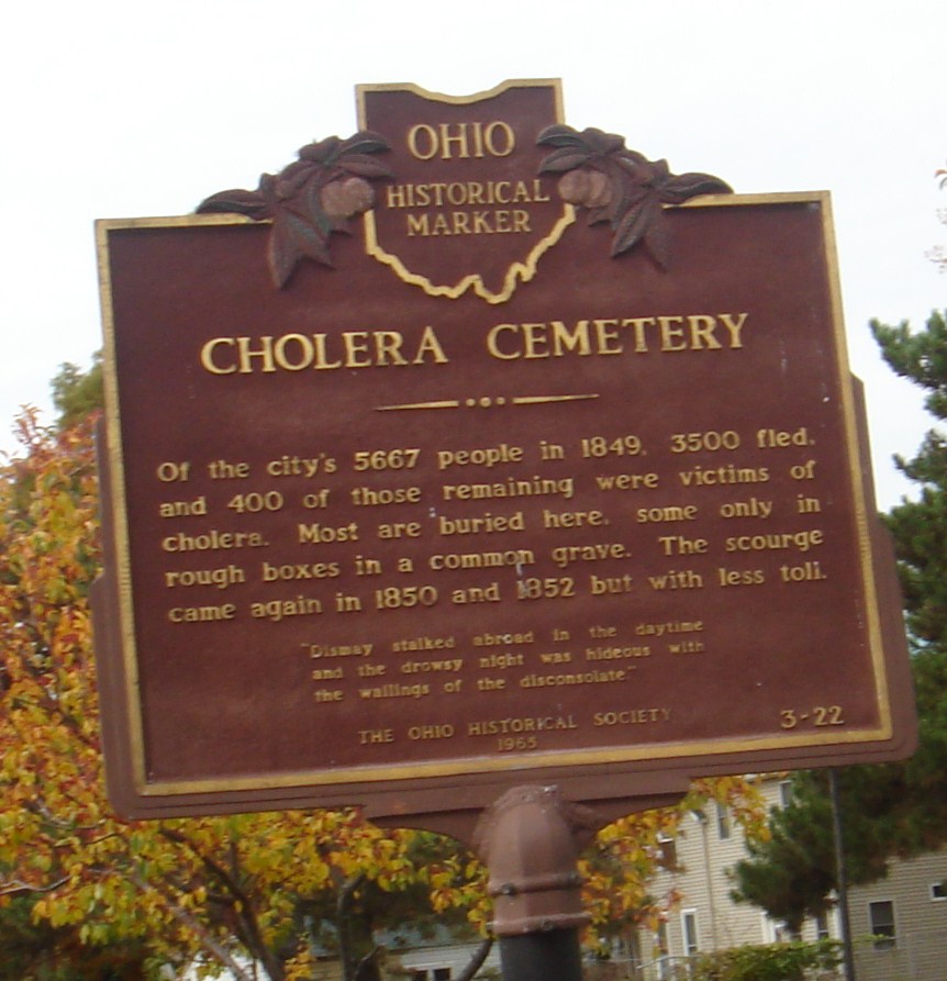
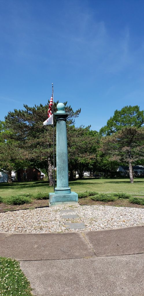
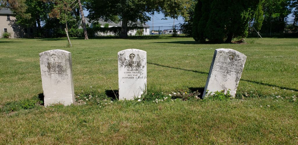
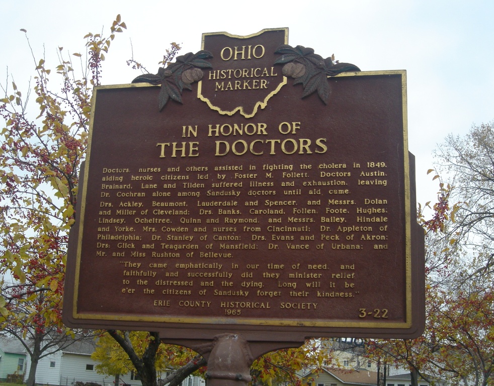
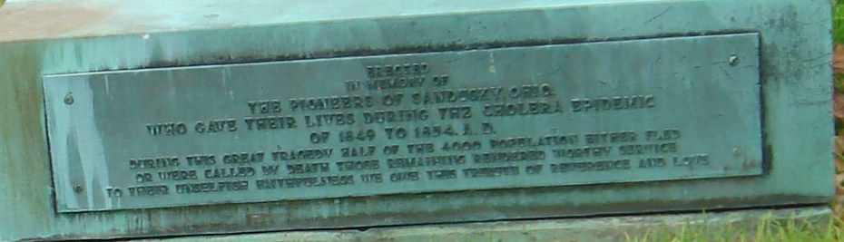
| Description | : | The cemetery is located on the west side of Harrison Street between W Jefferson Street and W Adams Street. The cemetery is located in the City of Sandusky, Erie County, Ohio, and is 3030 (Cholera Cemetery / Harrison Street Cemetery) in “Ohio Cemeteries 1803-2003”, compiled by the Ohio Genealogical Society. |
frequently asked questions (FAQ):
-
Where is Cholera Cemetery?
Cholera Cemetery is located at Harrison Street Sandusky, Erie County ,Ohio , 44870USA.
-
Cholera Cemetery cemetery's updated grave count on graveviews.com?
13 memorials
-
Where are the coordinates of the Cholera Cemetery?
Latitude: 41.4496660
Longitude: -82.7252970
Nearby Cemetories:
1. First Cemetery (Defunct)
Sandusky, Erie County, USA
Coordinate: 41.4543770, -82.7216040
2. Saint Marys Cemetery
Sandusky, Erie County, USA
Coordinate: 41.4425011, -82.7285995
3. Saint Joseph's Cemetery
Sandusky, Erie County, USA
Coordinate: 41.4420800, -82.7259500
4. Grace Episcopal Church Columbarium
Sandusky, Erie County, USA
Coordinate: 41.4547630, -82.7093940
5. Calvary Cemetery
Sandusky, Erie County, USA
Coordinate: 41.4383011, -82.7339020
6. Saint Stephen United Church of Christ Columbarium
Sandusky, Erie County, USA
Coordinate: 41.4331790, -82.6861310
7. Oakland Cemetery
Sandusky, Erie County, USA
Coordinate: 41.4267807, -82.6873398
8. Oheb Shalom Cemetery
Perkins Township, Erie County, USA
Coordinate: 41.4199800, -82.6902400
9. Erie County Cemetery
Sandusky, Erie County, USA
Coordinate: 41.4200580, -82.6896760
10. Ohio Veterans Home Cemetery
Sandusky, Erie County, USA
Coordinate: 41.4182940, -82.6881920
11. Venice Cemetery
Margaretta Township, Erie County, USA
Coordinate: 41.4413690, -82.7829920
12. Wilmer Cemetery
Wilmer, Erie County, USA
Coordinate: 41.4008848, -82.7074048
13. Johnson's Island Confederate Cemetery
Marblehead, Ottawa County, USA
Coordinate: 41.5003014, -82.7300034
14. War of 1812 Battle Site
Mineyahta-on-the Bay, Ottawa County, USA
Coordinate: 41.5140350, -82.7438530
15. Hartshorn Cemetery
Danbury, Ottawa County, USA
Coordinate: 41.5144440, -82.7499530
16. Baum Family Cemetery
Perkins Township, Erie County, USA
Coordinate: 41.3837600, -82.7055420
17. Wolcott Cemetery
Marblehead, Ottawa County, USA
Coordinate: 41.5177994, -82.7403030
18. Osborn Park Cemetery
Sandusky, Erie County, USA
Coordinate: 41.4184280, -82.6361480
19. Perkins Cemetery
Sandusky, Erie County, USA
Coordinate: 41.3997002, -82.6505966
20. Beatty Cemetery (Defunct)
Perkins Township, Erie County, USA
Coordinate: 41.3961370, -82.6508980
21. Old Perkins Cemetery
Perkins Township, Erie County, USA
Coordinate: 41.3851460, -82.6683020
22. Castalia Cemetery
Castalia, Erie County, USA
Coordinate: 41.3957410, -82.8015733
23. Kelly Cemetery
Danbury, Ottawa County, USA
Coordinate: 41.5245720, -82.7705950
24. Russian Cemetery
Marblehead, Ottawa County, USA
Coordinate: 41.5335999, -82.7371979