
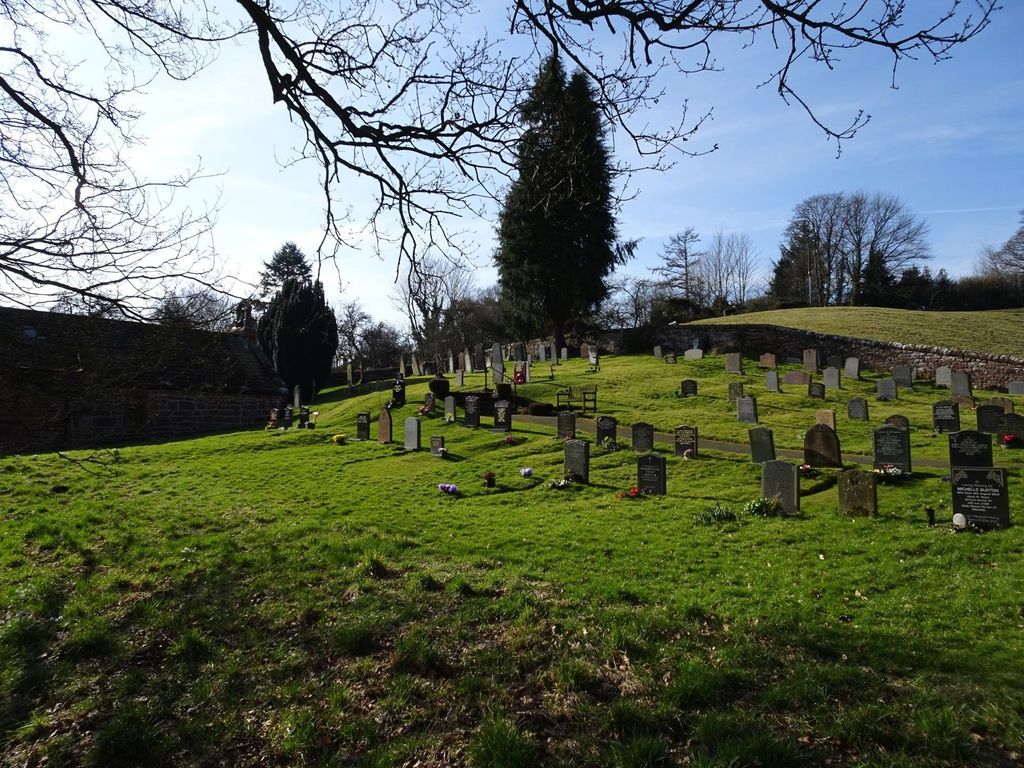
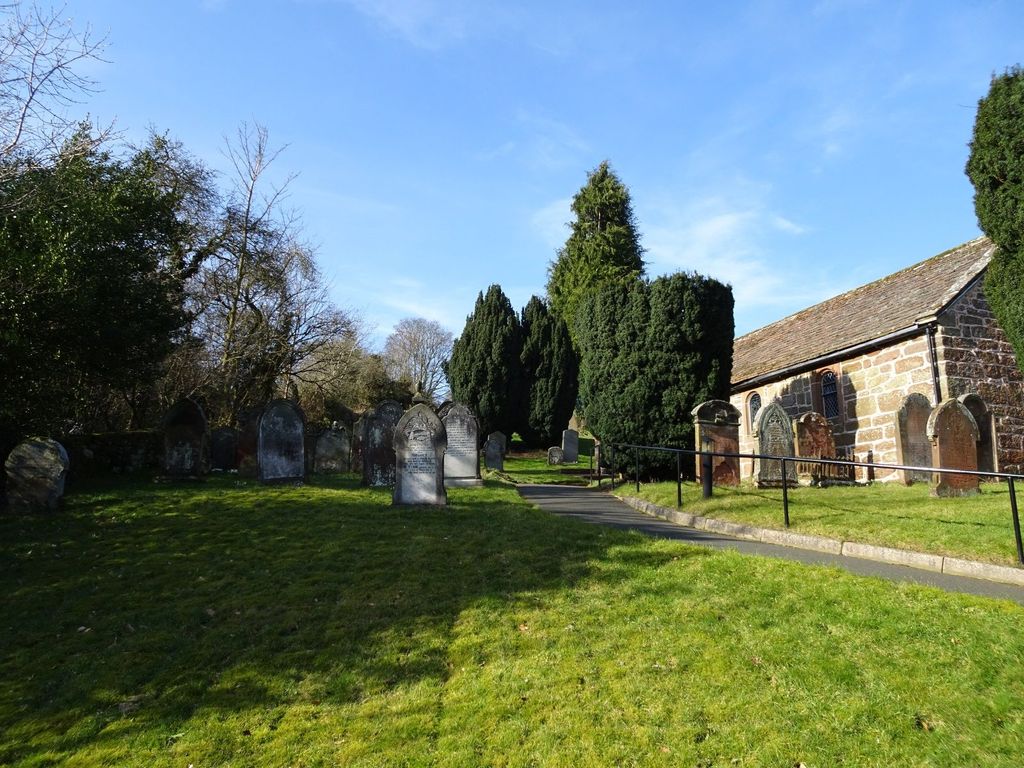
| Memorials | : | 0 |
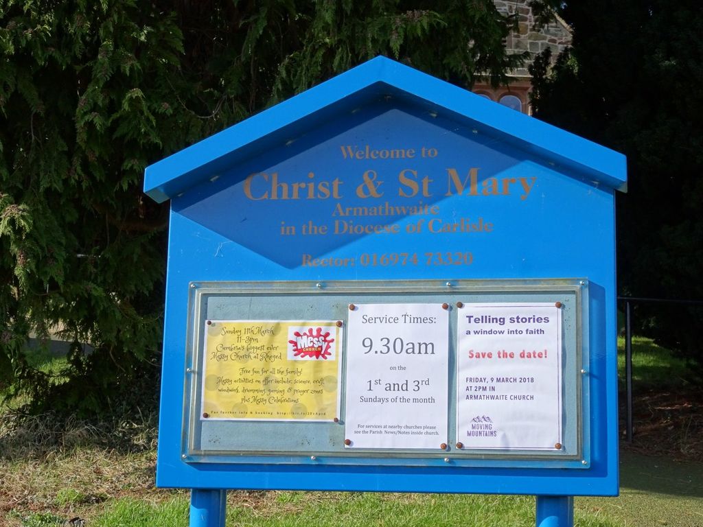
| Location | : | Hesket, Eden District, England |
| Coordinate | : | 54.8081680, -2.7697810 |
frequently asked questions (FAQ):
-
Where is Christ & St Mary Churchyard?
Christ & St Mary Churchyard is located at Front St., Armathwaite Hesket, Eden District ,Cumbria , CA4 9PAEngland.
-
Christ & St Mary Churchyard cemetery's updated grave count on graveviews.com?
0 memorials
-
Where are the coordinates of the Christ & St Mary Churchyard?
Latitude: 54.8081680
Longitude: -2.7697810
Nearby Cemetories:
1. St Michael's Churchyard
Ainstable, Eden District, England
Coordinate: 54.8129950, -2.7328490
2. St. Mary's Churchyard
Hesket, Eden District, England
Coordinate: 54.7922670, -2.8160320
3. St. John's Churchyard
Cotehill, City of Carlisle, England
Coordinate: 54.8436203, -2.8276148
4. St Mary the Virgin Churchyard
Cumwhitton, City of Carlisle, England
Coordinate: 54.8626120, -2.7709920
5. St. John the Baptist Churchyard
Croglin, Eden District, England
Coordinate: 54.8183850, -2.6636280
6. St. Oswald Churchyard
Kirkoswald, Eden District, England
Coordinate: 54.7612000, -2.6930770
7. St Mary's Churchyard
Wreay, Eden District, England
Coordinate: 54.8319630, -2.8807780
8. St. Nicholas Churchyard
Lazonby, Eden District, England
Coordinate: 54.7506180, -2.7019380
9. Saint Mary's Church Cemetery
Wreay, Eden District, England
Coordinate: 54.8344500, -2.8824300
10. Wetheral Parish Cemetery
Wetheral, City of Carlisle, England
Coordinate: 54.8812650, -2.8309020
11. Holy Trinity and St Constantine Churchyard
Wetheral, City of Carlisle, England
Coordinate: 54.8814860, -2.8305510
12. St John the Evangelist Churchyard
Hesket, Eden District, England
Coordinate: 54.7268660, -2.7821200
13. Christ Church Cemetery
Ivegill, Eden District, England
Coordinate: 54.7810300, -2.9045330
14. All Saints Churchyard
Renwick, Eden District, England
Coordinate: 54.7859060, -2.6282720
15. St Peter Churchyard
Castle Carrock, City of Carlisle, England
Coordinate: 54.8913590, -2.7133890
16. Saint Michael Churchyard
Glassonby, Eden District, England
Coordinate: 54.7382400, -2.6620900
17. Saint Cuthbert Churchyard
Great Salkeld, Eden District, England
Coordinate: 54.7239460, -2.6978280
18. St Paul's Churchyard Holme Eden
Wetheral, City of Carlisle, England
Coordinate: 54.8989540, -2.8232760
19. St. James Churchyard
Hutton, Eden District, England
Coordinate: 54.7200100, -2.8410400
20. Our Lady And St Wilfred Churchyard
Wetheral, City of Carlisle, England
Coordinate: 54.9032570, -2.8197300
21. All Saints Churchyard
Scotby, City of Carlisle, England
Coordinate: 54.8885520, -2.8734300
22. St. Mary Magdalene Churchyard
Hayton, City of Carlisle, England
Coordinate: 54.9115160, -2.7692210
23. Upperby Cemetery
Carlisle, City of Carlisle, England
Coordinate: 54.8755290, -2.9189380
24. St. Michael's Churchyard
Skelton, Eden District, England
Coordinate: 54.7106900, -2.8713760