
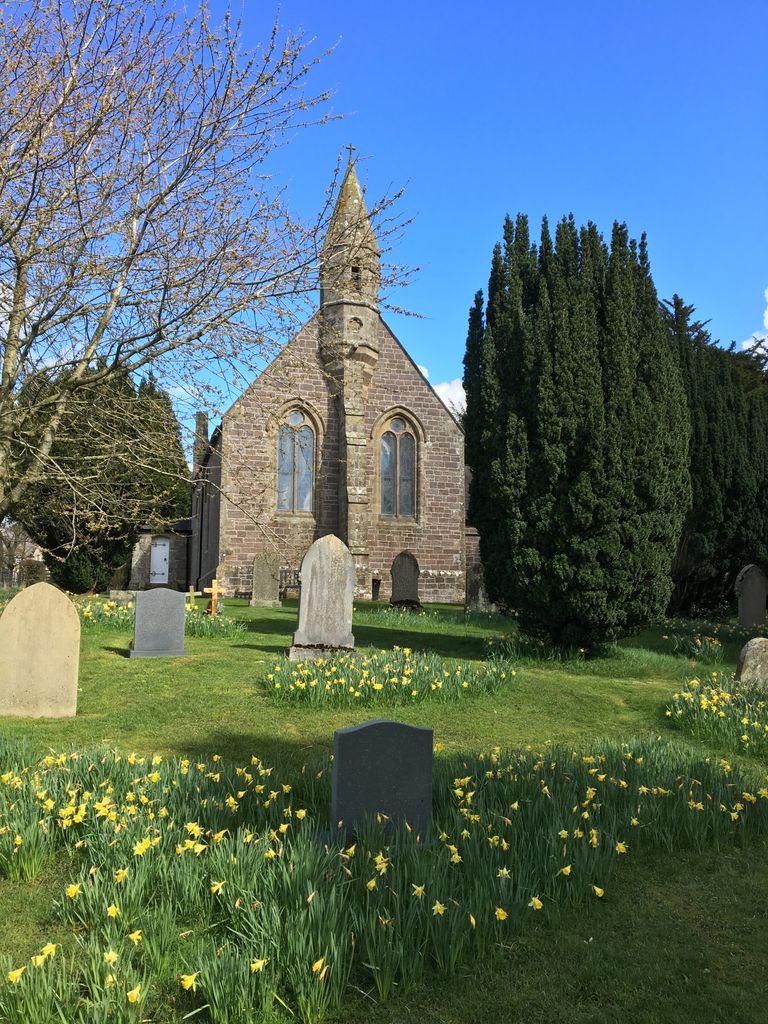
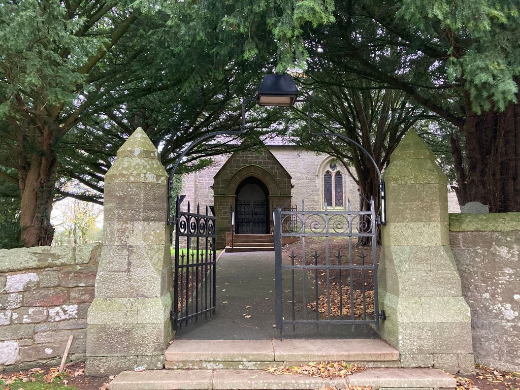
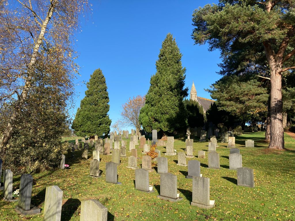
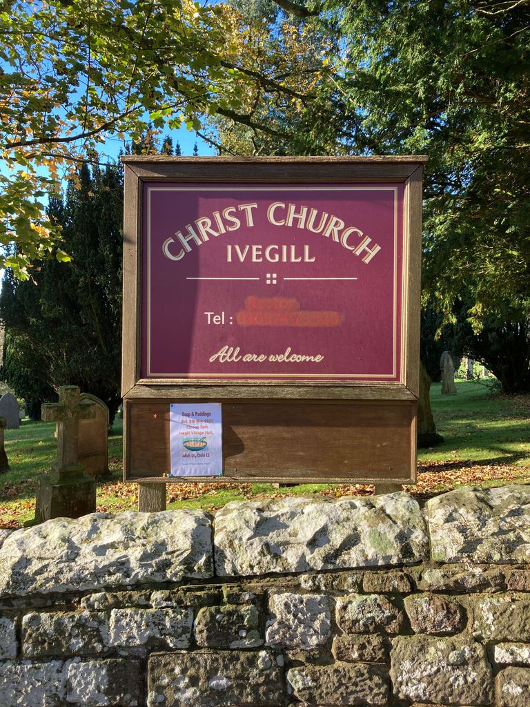
| Memorials | : | 0 |
| Location | : | Ivegill, Eden District, England |
| Coordinate | : | 54.7810300, -2.9045330 |
frequently asked questions (FAQ):
-
Where is Christ Church Cemetery?
Christ Church Cemetery is located at Ivegill, Eden District ,Cumbria , CA4 0PAEngland.
-
Christ Church Cemetery cemetery's updated grave count on graveviews.com?
0 memorials
-
Where are the coordinates of the Christ Church Cemetery?
Latitude: 54.7810300
Longitude: -2.9045330
Nearby Cemetories:
1. All Saints Churchyard
Dalston, City of Carlisle, England
Coordinate: 54.8011550, -2.9673270
2. St. Mary's Churchyard
Sebergham, Allerdale Borough, England
Coordinate: 54.7676720, -2.9898510
3. St. Mary's Churchyard
Hesket, Eden District, England
Coordinate: 54.7922670, -2.8160320
4. St Mary's Churchyard
Wreay, Eden District, England
Coordinate: 54.8319630, -2.8807780
5. Saint Mary's Church Cemetery
Wreay, Eden District, England
Coordinate: 54.8344500, -2.8824300
6. St. James Churchyard
Hutton, Eden District, England
Coordinate: 54.7200100, -2.8410400
7. St. Michael's Churchyard
Skelton, Eden District, England
Coordinate: 54.7106900, -2.8713760
8. St. Kentigern Churchyard
Castle Sowerby, Eden District, England
Coordinate: 54.7164180, -2.9635500
9. St. Michael's Churchyard
Dalston, City of Carlisle, England
Coordinate: 54.8422650, -2.9836400
10. St. John's Churchyard
Cotehill, City of Carlisle, England
Coordinate: 54.8436203, -2.8276148
11. Christ & St Mary Churchyard
Hesket, Eden District, England
Coordinate: 54.8081680, -2.7697810
12. St John the Evangelist Churchyard
Hesket, Eden District, England
Coordinate: 54.7268660, -2.7821200
13. St. Kentigern Churchyard
Caldbeck, Allerdale Borough, England
Coordinate: 54.7489630, -3.0496700
14. Upperby Cemetery
Carlisle, City of Carlisle, England
Coordinate: 54.8755290, -2.9189380
15. Holy Trinity Churchyard Rosley
Westward, Allerdale Borough, England
Coordinate: 54.8189050, -3.0666484
16. Carlisle Crematorium
Carlisle, City of Carlisle, England
Coordinate: 54.8778540, -2.9563680
17. Carlisle Cemetery
Carlisle, City of Carlisle, England
Coordinate: 54.8806590, -2.9543410
18. St Michael's Churchyard
Ainstable, Eden District, England
Coordinate: 54.8129950, -2.7328490
19. St. Andrew's Churchyard
Thursby, Allerdale Borough, England
Coordinate: 54.8425950, -3.0543387
20. St John the Evangelist Churchyard
Carlisle, City of Carlisle, England
Coordinate: 54.8885960, -2.9257510
21. Wetheral Parish Cemetery
Wetheral, City of Carlisle, England
Coordinate: 54.8812650, -2.8309020
22. All Saints Churchyard
Scotby, City of Carlisle, England
Coordinate: 54.8885520, -2.8734300
23. Holy Trinity and St Constantine Churchyard
Wetheral, City of Carlisle, England
Coordinate: 54.8814860, -2.8305510
24. St Mary the Virgin Churchyard
Cumwhitton, City of Carlisle, England
Coordinate: 54.8626120, -2.7709920