
| Memorials | : | 0 |
| Location | : | Hutton, Eden District, England |
| Coordinate | : | 54.7200100, -2.8410400 |
frequently asked questions (FAQ):
-
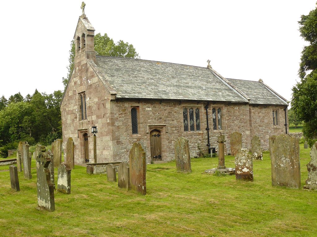
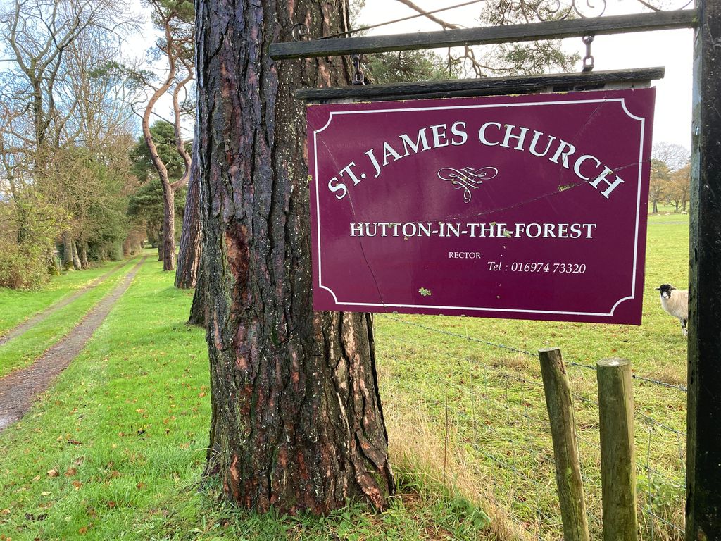
Where is St. James Churchyard?
St. James Churchyard is located at Hutton, Eden District ,Cumbria , CA11 9PPEngland.
-
St. James Churchyard cemetery's updated grave count on graveviews.com?
0 memorials
-
Where are the coordinates of the St. James Churchyard?
Latitude: 54.7200100
Longitude: -2.8410400
Nearby Cemetories:
1. St. Michael's Churchyard
Skelton, Eden District, England
Coordinate: 54.7106900, -2.8713760
2. St John the Evangelist Churchyard
Hesket, Eden District, England
Coordinate: 54.7268660, -2.7821200
3. St. John Churchyard
Newton Reigny, Eden District, England
Coordinate: 54.6767560, -2.8088380
4. St. Andrew Churchyard
Greystoke, Eden District, England
Coordinate: 54.6690130, -2.8645240
5. Beacon Edge Cemetery
Penrith, Eden District, England
Coordinate: 54.6728020, -2.7503650
6. St. Kentigern Churchyard
Castle Sowerby, Eden District, England
Coordinate: 54.7164180, -2.9635500
7. Christ Church Cemetery
Ivegill, Eden District, England
Coordinate: 54.7810300, -2.9045330
8. Christ Church
Penrith, Eden District, England
Coordinate: 54.6678290, -2.7548970
9. St. Mary's Churchyard
Hesket, Eden District, England
Coordinate: 54.7922670, -2.8160320
10. Penrith Quaker Meeting House
Penrith, Eden District, England
Coordinate: 54.6664360, -2.7513030
11. St. Andrew's Churchyard
Penrith, Eden District, England
Coordinate: 54.6640750, -2.7513390
12. Saint Cuthbert Churchyard
Great Salkeld, Eden District, England
Coordinate: 54.7239460, -2.6978280
13. St. Nicholas Churchyard
Lazonby, Eden District, England
Coordinate: 54.7506180, -2.7019380
14. United Reformed Churchyard
Penruddock, Eden District, England
Coordinate: 54.6391750, -2.8915670
15. St Andrew's Churchyard
Dacre, Eden District, England
Coordinate: 54.6319910, -2.8380460
16. St. Michael's Churchyard
Barton, Eden District, England
Coordinate: 54.6297980, -2.7949154
17. St. Oswald Churchyard
Kirkoswald, Eden District, England
Coordinate: 54.7612000, -2.6930770
18. Brougham Hall and St Wilfrids Chapel Grounds
Brougham, Eden District, England
Coordinate: 54.6482400, -2.7334200
19. Brougham Castle
Brougham, Eden District, England
Coordinate: 54.6493200, -2.7285300
20. Langwathby Cemetery
Langwathby, Eden District, England
Coordinate: 54.7043400, -2.6750620
21. Christ & St Mary Churchyard
Hesket, Eden District, England
Coordinate: 54.8081680, -2.7697810
22. St. Mary's Churchyard
Sebergham, Allerdale Borough, England
Coordinate: 54.7676720, -2.9898510
23. St Kentigern Churchyard
Mungrisdale, Eden District, England
Coordinate: 54.6648230, -2.9880510
24. St. Peter's Churchyard
Langwathby, Eden District, England
Coordinate: 54.6968220, -2.6701190