
| Memorials | : | 0 |
| Location | : | Coalville, North West Leicestershire District, England |
| Coordinate | : | 52.7229610, -1.3673630 |
frequently asked questions (FAQ):
-
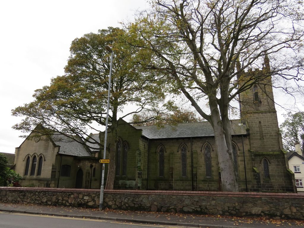
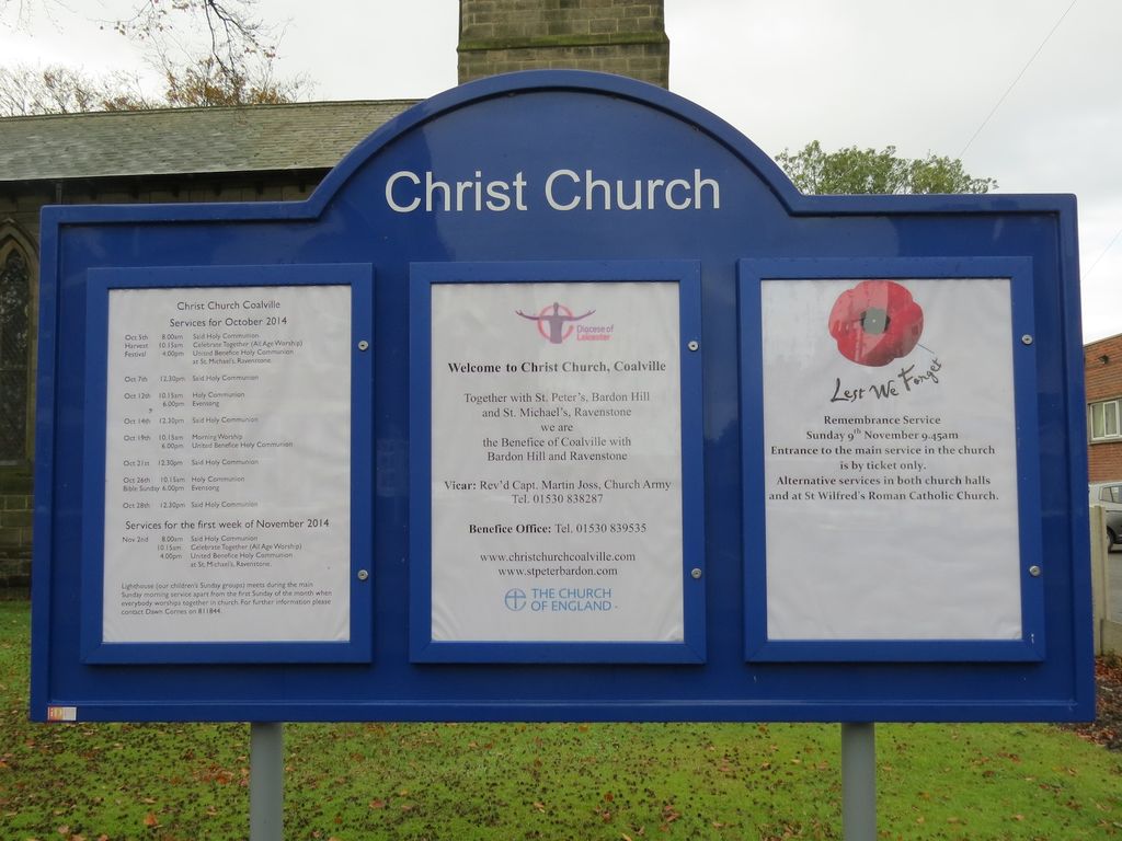
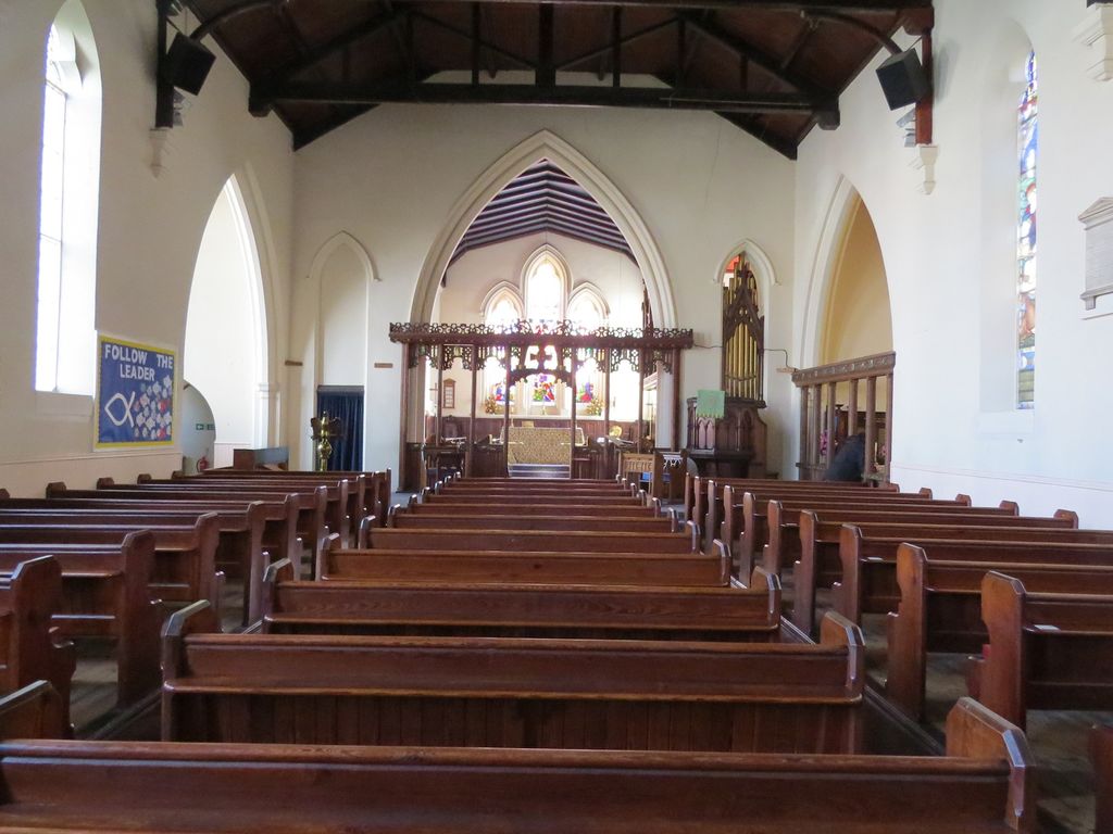
Where is Christ Church?
Christ Church is located at London Road Coalville, North West Leicestershire District ,Leicestershire ,England.
-
Christ Church cemetery's updated grave count on graveviews.com?
0 memorials
-
Where are the coordinates of the Christ Church?
Latitude: 52.7229610
Longitude: -1.3673630
Nearby Cemetories:
1. London Road Cemetery
Coalville, North West Leicestershire District, England
Coordinate: 52.7222620, -1.3647710
2. Hugglescote Cemetery
Coalville, North West Leicestershire District, England
Coordinate: 52.7067040, -1.3718090
3. Broomleys Cemetery
Coalville, North West Leicestershire District, England
Coordinate: 52.7255540, -1.3402280
4. Whitwick Cemetery
Whitwick, North West Leicestershire District, England
Coordinate: 52.7395560, -1.3623360
5. St John the Baptist Churchyard
Whitwick, North West Leicestershire District, England
Coordinate: 52.7416040, -1.3571200
6. St. Peter's Churchyard
Bardon, North West Leicestershire District, England
Coordinate: 52.7090700, -1.3357800
7. St. Michael and All Angels Churchyard
Ravenstone, North West Leicestershire District, England
Coordinate: 52.7214130, -1.4063470
8. St. Andrew's Churchyard
Thringstone, North West Leicestershire District, England
Coordinate: 52.7529090, -1.3692140
9. St George Churchyard
Swannington, North West Leicestershire District, England
Coordinate: 52.7530997, -1.3865110
10. Mount St Bernard Abbey
Whitwick, North West Leicestershire District, England
Coordinate: 52.7413880, -1.3234470
11. Bardon Park Chapel
Bardon, North West Leicestershire District, England
Coordinate: 52.7027960, -1.3223480
12. Ibstock Cemetery
Ibstock, North West Leicestershire District, England
Coordinate: 52.6915610, -1.3920190
13. St. John Churchyard
Coleorton, North West Leicestershire District, England
Coordinate: 52.7486100, -1.4124400
14. Grace-Dieu Priory
Thringstone, North West Leicestershire District, England
Coordinate: 52.7609720, -1.3566830
15. Methodist Church Churchyard
Griffydam, North West Leicestershire District, England
Coordinate: 52.7629060, -1.3894370
16. St. Mary's Churchyard
Coleorton, North West Leicestershire District, England
Coordinate: 52.7513600, -1.4224500
17. St. James the Greater Oaks in Charnwood
Whitwick, North West Leicestershire District, England
Coordinate: 52.7425430, -1.3008590
18. St John the Baptist Churchyard
Heather, North West Leicestershire District, England
Coordinate: 52.6939220, -1.4247380
19. Saint Denys Churchyard
Ibstock, North West Leicestershire District, England
Coordinate: 52.6827470, -1.4035140
20. St Mary the Blessed Virgin Church
Osgathorpe, North West Leicestershire District, England
Coordinate: 52.7715890, -1.3623270
21. Holy Rood Churchyard
Bagworth, Hinckley and Bosworth Borough, England
Coordinate: 52.6673400, -1.3367100
22. Shepshed Cemetery
Shepshed, Charnwood Borough, England
Coordinate: 52.7640470, -1.2963120
23. Saint Peter Churchyard
Swepstone, North West Leicestershire District, England
Coordinate: 52.6912960, -1.4566030
24. Holy Rood Churchyard
Packington, North West Leicestershire District, England
Coordinate: 52.7268867, -1.4706219