
| Memorials | : | 1 |
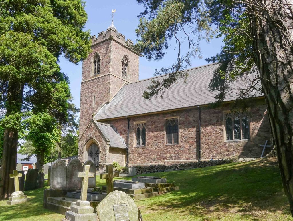
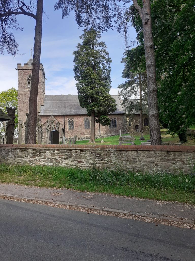
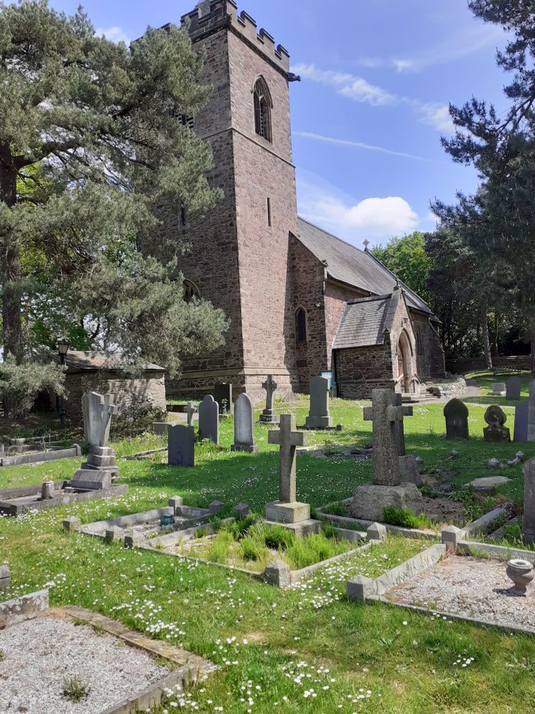
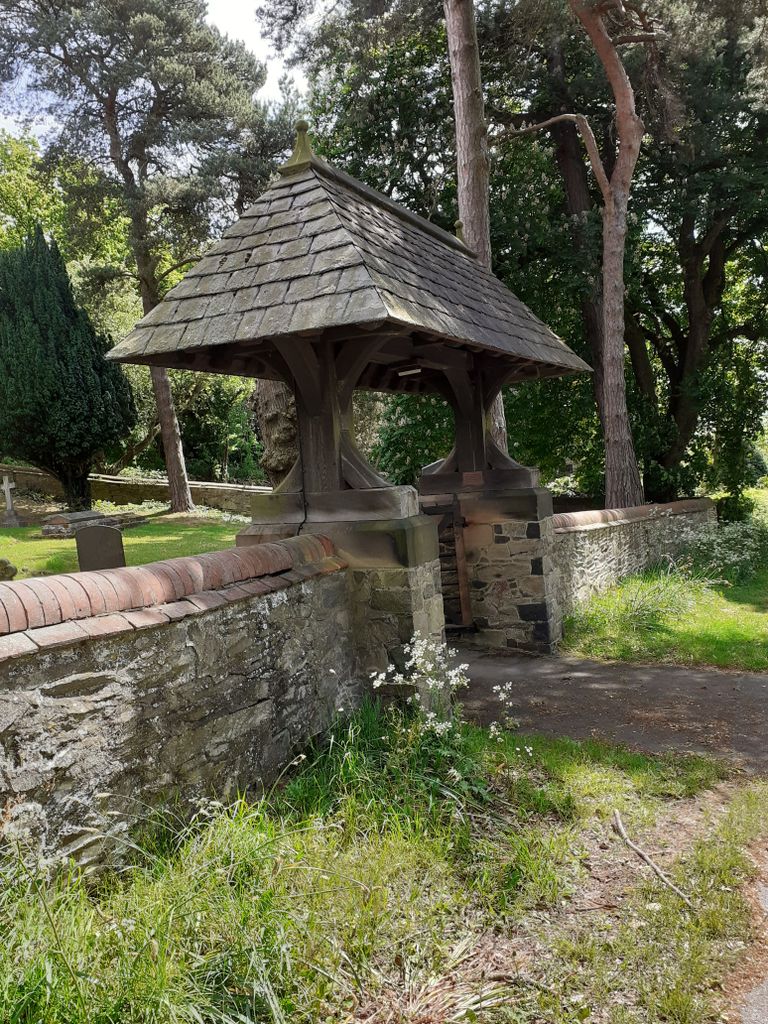
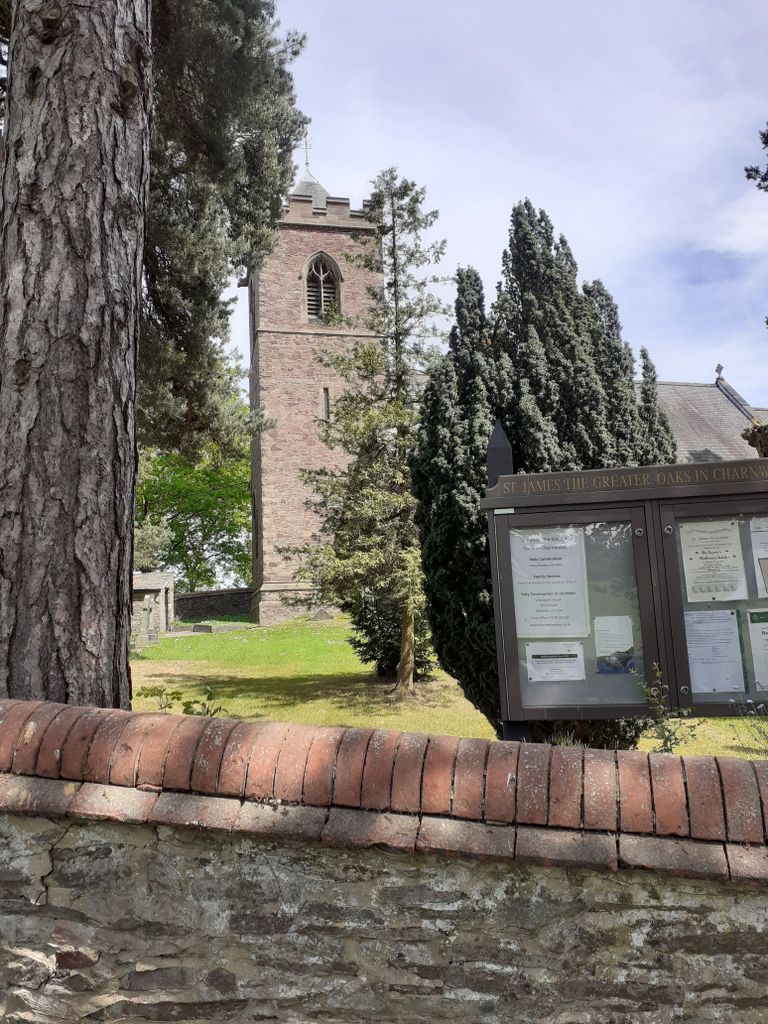
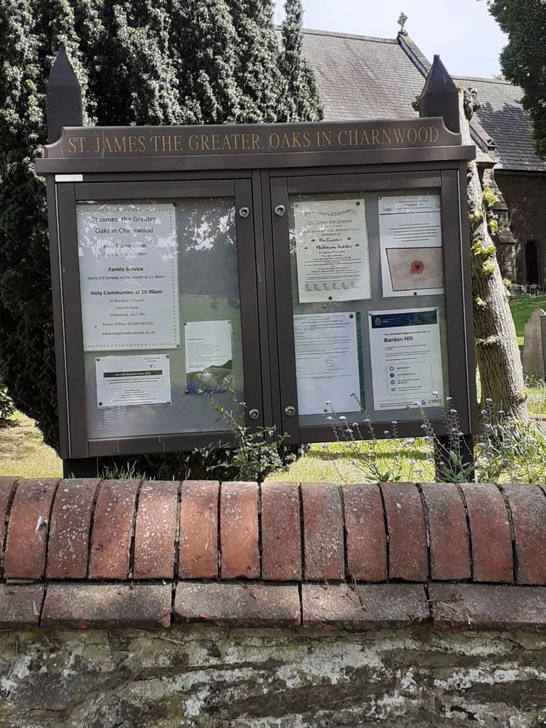
| Location | : | Whitwick, North West Leicestershire District, England |
| Website | : | www.shepshedandoaks.co.uk/ |
| Coordinate | : | 52.7425430, -1.3008590 |
frequently asked questions (FAQ):
-
Where is St. James the Greater Oaks in Charnwood?
St. James the Greater Oaks in Charnwood is located at Whitwick, North West Leicestershire District ,Leicestershire ,England.
-
St. James the Greater Oaks in Charnwood cemetery's updated grave count on graveviews.com?
1 memorials
-
Where are the coordinates of the St. James the Greater Oaks in Charnwood?
Latitude: 52.7425430
Longitude: -1.3008590
Nearby Cemetories:
1. Mount St Bernard Abbey
Whitwick, North West Leicestershire District, England
Coordinate: 52.7413880, -1.3234470
2. Shepshed Cemetery
Shepshed, Charnwood Borough, England
Coordinate: 52.7640470, -1.2963120
3. Broomleys Cemetery
Coalville, North West Leicestershire District, England
Coordinate: 52.7255540, -1.3402280
4. St. Botolph’s Churchyard
Shepshed, Charnwood Borough, England
Coordinate: 52.7726830, -1.2885670
5. St John the Baptist Churchyard
Whitwick, North West Leicestershire District, England
Coordinate: 52.7416040, -1.3571200
6. Whitwick Cemetery
Whitwick, North West Leicestershire District, England
Coordinate: 52.7395560, -1.3623360
7. Grace-Dieu Priory
Thringstone, North West Leicestershire District, England
Coordinate: 52.7609720, -1.3566830
8. St. Peter's Churchyard
Bardon, North West Leicestershire District, England
Coordinate: 52.7090700, -1.3357800
9. St Mary's Priory
Ulverscroft, Charnwood Borough, England
Coordinate: 52.7098890, -1.2598610
10. Bardon Park Chapel
Bardon, North West Leicestershire District, England
Coordinate: 52.7027960, -1.3223480
11. St. Andrew's Churchyard
Thringstone, North West Leicestershire District, England
Coordinate: 52.7529090, -1.3692140
12. London Road Cemetery
Coalville, North West Leicestershire District, England
Coordinate: 52.7222620, -1.3647710
13. Christ Church
Coalville, North West Leicestershire District, England
Coordinate: 52.7229610, -1.3673630
14. St John Churchyard
Belton, North West Leicestershire District, England
Coordinate: 52.7830810, -1.3374590
15. St Mary the Blessed Virgin Church
Osgathorpe, North West Leicestershire District, England
Coordinate: 52.7715890, -1.3623270
16. All Saints Churchyard
Thorpe Acre, Charnwood Borough, England
Coordinate: 52.7750466, -1.2361551
17. St George Churchyard
Swannington, North West Leicestershire District, England
Coordinate: 52.7530997, -1.3865110
18. Hugglescote Cemetery
Coalville, North West Leicestershire District, England
Coordinate: 52.7067040, -1.3718090
19. All Saints' Church Dishley
Hathern, Charnwood Borough, England
Coordinate: 52.7860705, -1.2412000
20. St. Paul's Churchyard
Woodhouse, Charnwood Borough, England
Coordinate: 52.7216880, -1.2139190
21. Saint Michael and All Angels Churchyard
Markfield, Hinckley and Bosworth Borough, England
Coordinate: 52.6869930, -1.2793315
22. Methodist Church Churchyard
Griffydam, North West Leicestershire District, England
Coordinate: 52.7629060, -1.3894370
23. Markfield Cemetery
Markfield, Hinckley and Bosworth Borough, England
Coordinate: 52.6878983, -1.2707406
24. Emmanuel Churchyard
Loughborough, Charnwood Borough, England
Coordinate: 52.7668830, -1.2108020