
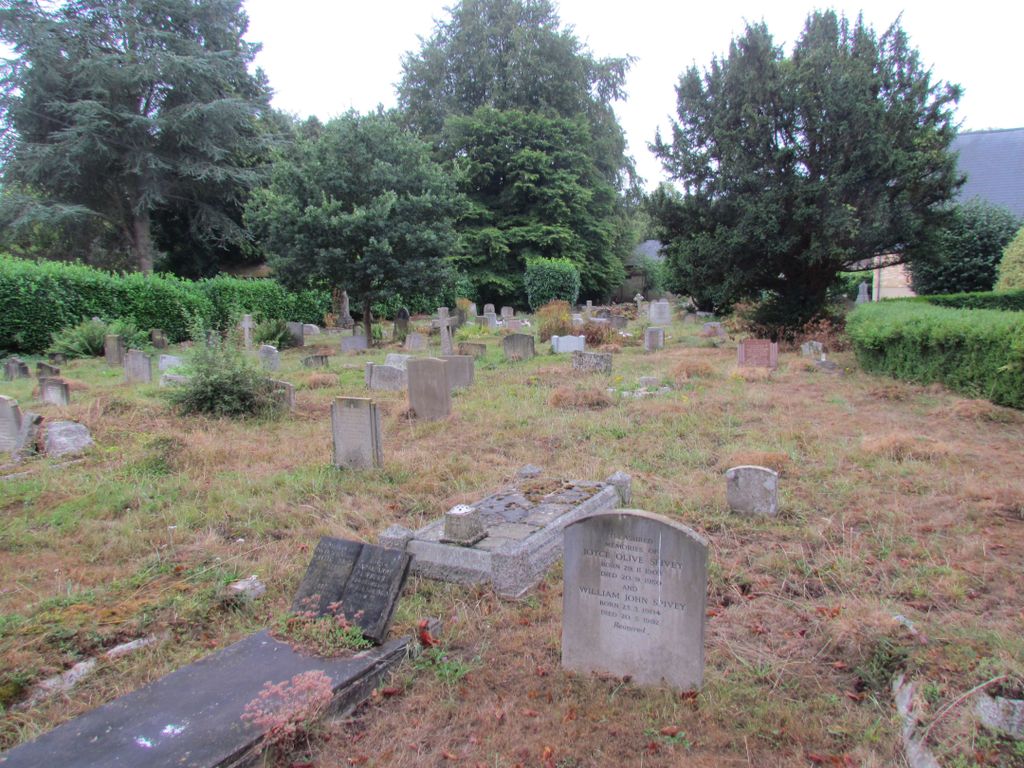
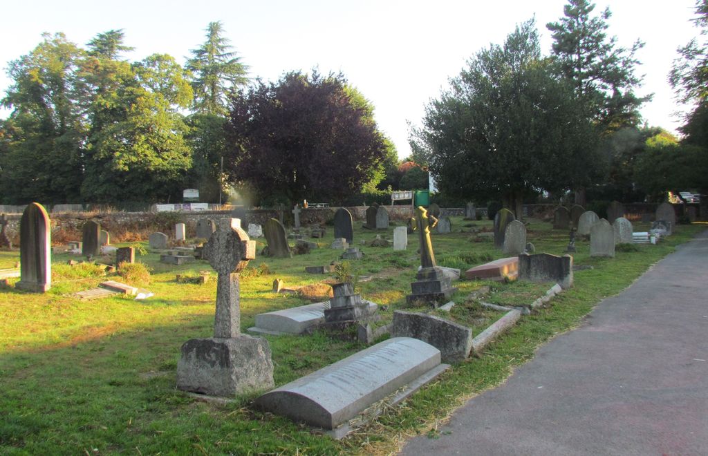
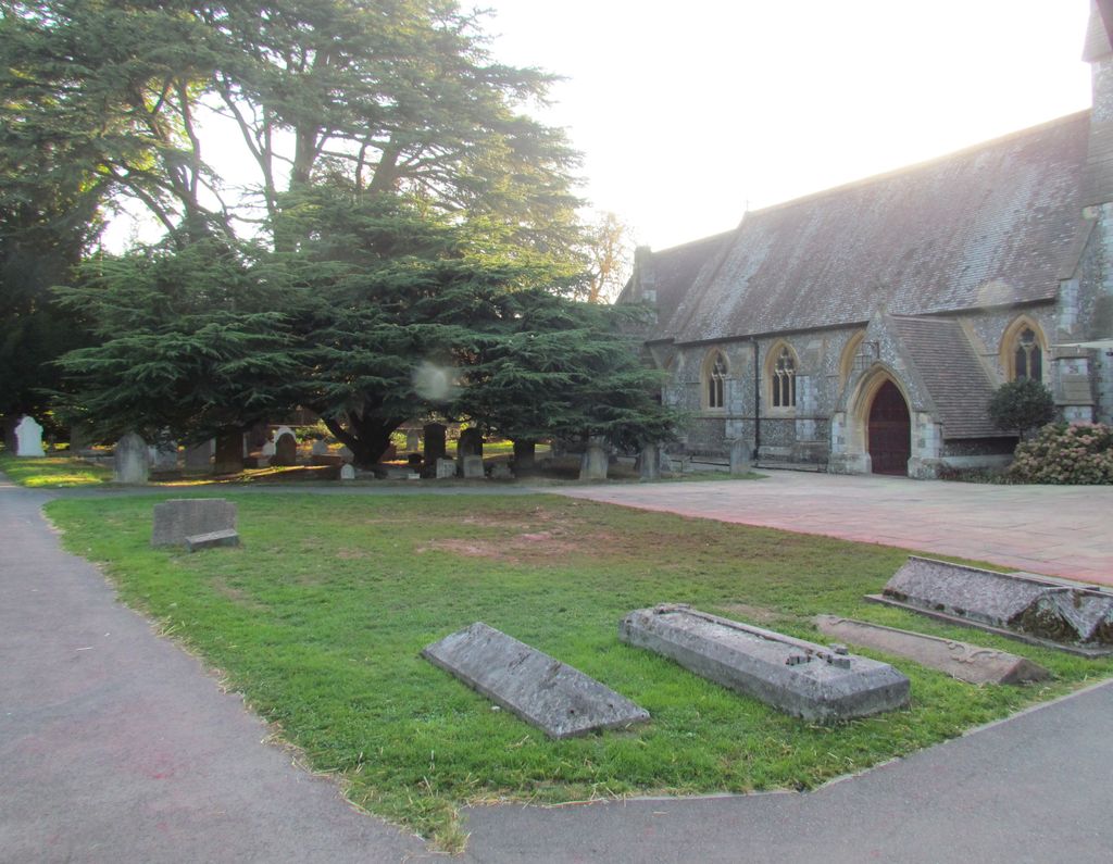
| Memorials | : | 81 |
| Location | : | Chorleywood, Three Rivers District, England |
| Coordinate | : | 51.6586800, -0.5038800 |
frequently asked questions (FAQ):
-
Where is Christ Church Churchyard?
Christ Church Churchyard is located at The Common Chorleywood, Three Rivers District ,Hertfordshire , WD3 5SGEngland.
-
Christ Church Churchyard cemetery's updated grave count on graveviews.com?
79 memorials
-
Where are the coordinates of the Christ Church Churchyard?
Latitude: 51.6586800
Longitude: -0.5038800
Nearby Cemetories:
1. Chorleywood Lawn Cemetery
Chorleywood, Three Rivers District, England
Coordinate: 51.6601790, -0.5055530
2. Church of the Holy Cross Churchyard
Sarratt, Three Rivers District, England
Coordinate: 51.6747100, -0.4991540
3. Chenies Baptist Churchyard
Chenies, Chiltern District, England
Coordinate: 51.6728471, -0.5254474
4. Chorleywood Road Cemetery
Rickmansworth, Three Rivers District, England
Coordinate: 51.6440320, -0.4753040
5. Chenies Manor House Cemetery
Chenies, Chiltern District, England
Coordinate: 51.6742730, -0.5325330
6. St. Michael's Churchyard
Chenies, Chiltern District, England
Coordinate: 51.6748400, -0.5325400
7. Chess Valley Walk
Chenies, Chiltern District, England
Coordinate: 51.6787300, -0.5408400
8. Woodcock Hill Cemetery
Rickmansworth, Three Rivers District, England
Coordinate: 51.6263860, -0.4721330
9. St Thomas of Canterbury Churchyard
West Hyde, Three Rivers District, England
Coordinate: 51.6181760, -0.5130960
10. St Paul Churchyard
Horn Hill, Chiltern District, England
Coordinate: 51.6223200, -0.5371930
11. St. Giles' Churchyard
Chalfont St Giles, Chiltern District, England
Coordinate: 51.6317080, -0.5696000
12. Deanway United Church
Chalfont St Giles, Chiltern District, England
Coordinate: 51.6346140, -0.5747440
13. Bowstridge Lane Cemetery
Chalfont St Giles, Chiltern District, England
Coordinate: 51.6258711, -0.5687373
14. Congregational Chapel Burial Ground
Chalfont St Giles, Chiltern District, England
Coordinate: 51.6301590, -0.5754890
15. St. Paul Churchyard
Kings Langley, Dacorum Borough, England
Coordinate: 51.6931700, -0.4383900
16. Chalfont St. Peter Garden of Rest
Chalfont St Peter, Chiltern District, England
Coordinate: 51.6110110, -0.5427340
17. Stanley Hill Cemetery
Amersham, Chiltern District, England
Coordinate: 51.6657100, -0.5962700
18. Holy Trinity Churchyard
Northwood, London Borough of Hillingdon, England
Coordinate: 51.6145370, -0.4377330
19. St Peter Churchyard
Chalfont St Peter, Chiltern District, England
Coordinate: 51.6077930, -0.5566610
20. Kings Langley Priory
Kings Langley, Dacorum Borough, England
Coordinate: 51.7130000, -0.4603000
21. Chalfont St. Peter Baptist Chapel Burial Ground
Chalfont St Peter, Chiltern District, England
Coordinate: 51.6074220, -0.5595870
22. All Saints Churchyard
Kings Langley, Dacorum Borough, England
Coordinate: 51.7109030, -0.4479280
23. Vicarage Road Cemetery
Watford, Watford Borough, England
Coordinate: 51.6517850, -0.4008620
24. St Mary the Virgin Churchyard
Harefield, London Borough of Hillingdon, England
Coordinate: 51.5952600, -0.4807770