
| Memorials | : | 1 |
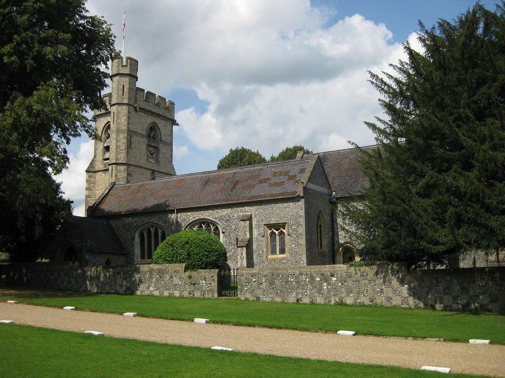
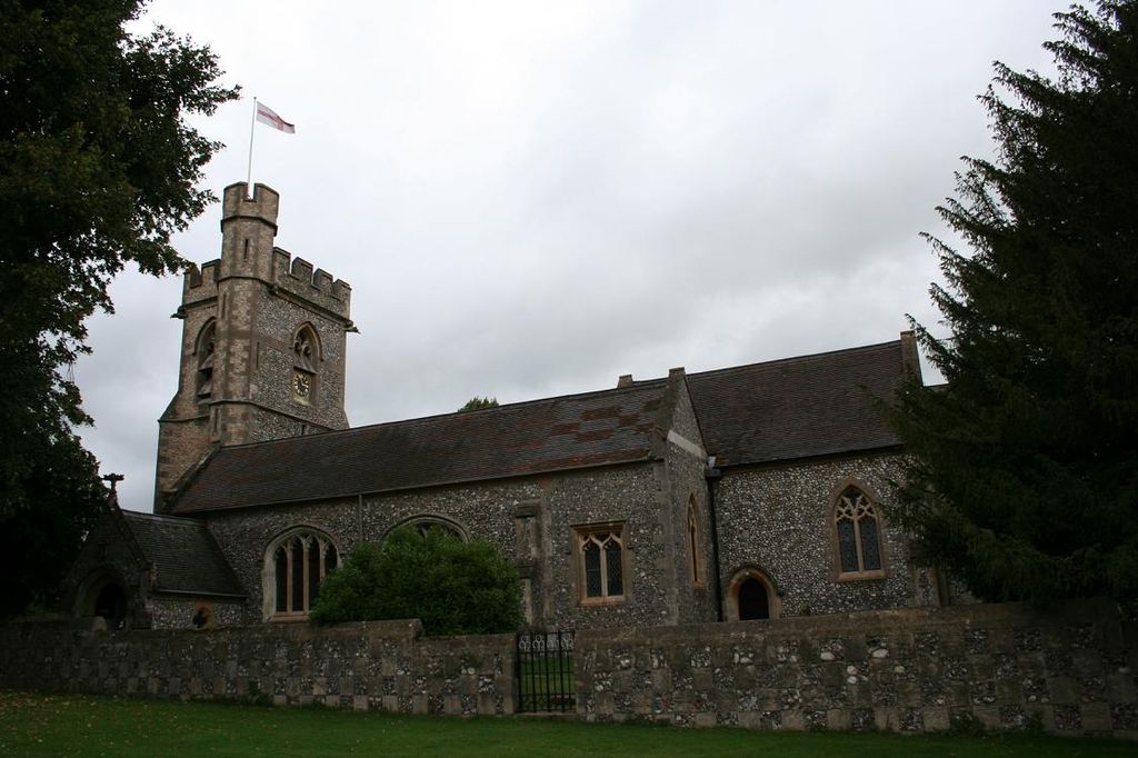
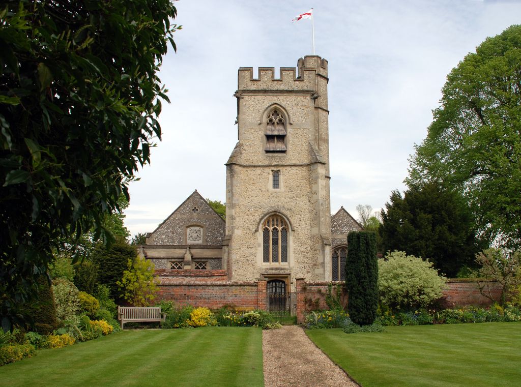
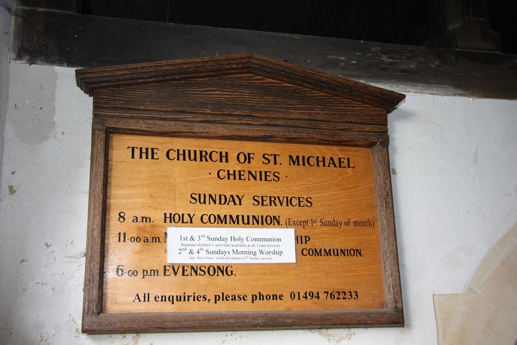
| Location | : | Chenies, Chiltern District, England |
| Coordinate | : | 51.6748400, -0.5325400 |
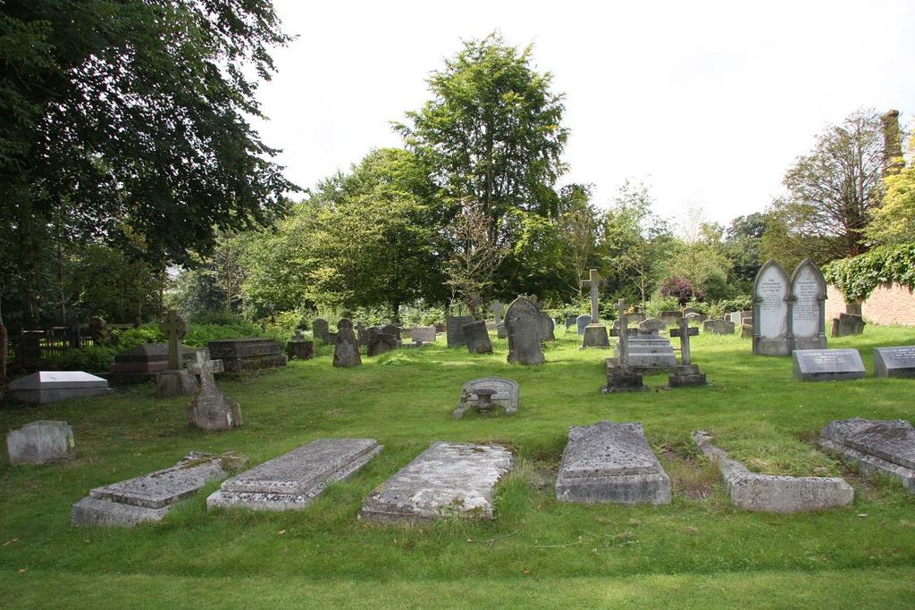
| Description | : | The church is next to Chenies Manor House, up the gravel drive from the Village Green. There is an extension churchyard. |
frequently asked questions (FAQ):
-
Where is St. Michael's Churchyard?
St. Michael's Churchyard is located at Chenies, Chiltern District ,Buckinghamshire , WD3 6EREngland.
-
St. Michael's Churchyard cemetery's updated grave count on graveviews.com?
1 memorials
-
Where are the coordinates of the St. Michael's Churchyard?
Latitude: 51.6748400
Longitude: -0.5325400
Nearby Cemetories:
1. Chenies Manor House Cemetery
Chenies, Chiltern District, England
Coordinate: 51.6742730, -0.5325330
2. Chenies Baptist Churchyard
Chenies, Chiltern District, England
Coordinate: 51.6728471, -0.5254474
3. Chess Valley Walk
Chenies, Chiltern District, England
Coordinate: 51.6787300, -0.5408400
4. Church of the Holy Cross Churchyard
Sarratt, Three Rivers District, England
Coordinate: 51.6747100, -0.4991540
5. Chorleywood Lawn Cemetery
Chorleywood, Three Rivers District, England
Coordinate: 51.6601790, -0.5055530
6. Christ Church Churchyard
Chorleywood, Three Rivers District, England
Coordinate: 51.6586800, -0.5038800
7. Stanley Hill Cemetery
Amersham, Chiltern District, England
Coordinate: 51.6657100, -0.5962700
8. St George Churchyard
Tylers Hill, Chiltern District, England
Coordinate: 51.7061030, -0.5810310
9. St. Leonard Churchyard
Chesham Bois, Chiltern District, England
Coordinate: 51.6887760, -0.5992920
10. Chorleywood Road Cemetery
Rickmansworth, Three Rivers District, England
Coordinate: 51.6440320, -0.4753040
11. Chesham Bois Burial Ground
Chesham Bois, Chiltern District, England
Coordinate: 51.6914600, -0.6037770
12. St Lawrence Churchyard
Bovingdon, Dacorum Borough, England
Coordinate: 51.7226750, -0.5292470
13. Deanway United Church
Chalfont St Giles, Chiltern District, England
Coordinate: 51.6346140, -0.5747440
14. St. Giles' Churchyard
Chalfont St Giles, Chiltern District, England
Coordinate: 51.6317080, -0.5696000
15. Congregational Chapel Burial Ground
Chalfont St Giles, Chiltern District, England
Coordinate: 51.6301590, -0.5754890
16. St. Mary the Virgin Churchyard
Amersham, Chiltern District, England
Coordinate: 51.6670010, -0.6161300
17. St Paul Churchyard
Horn Hill, Chiltern District, England
Coordinate: 51.6223200, -0.5371930
18. Bowstridge Lane Cemetery
Chalfont St Giles, Chiltern District, England
Coordinate: 51.6258711, -0.5687373
19. King's Churchyard
Amersham, Chiltern District, England
Coordinate: 51.6655250, -0.6195040
20. The Platt Cemetery
Amersham, Chiltern District, England
Coordinate: 51.6654600, -0.6195700
21. St Thomas of Canterbury Churchyard
West Hyde, Three Rivers District, England
Coordinate: 51.6181760, -0.5130960
22. Kings Langley Priory
Kings Langley, Dacorum Borough, England
Coordinate: 51.7130000, -0.4603000
23. Broadway Baptist Church
Chesham, Chiltern District, England
Coordinate: 51.7064627, -0.6135632
24. St Mary Churchyard
Chesham, Chiltern District, England
Coordinate: 51.7043190, -0.6166760