
| Memorials | : | 11 |
| Location | : | Ashland, Grafton County, USA |
| Coordinate | : | 43.7455560, -71.6522220 |
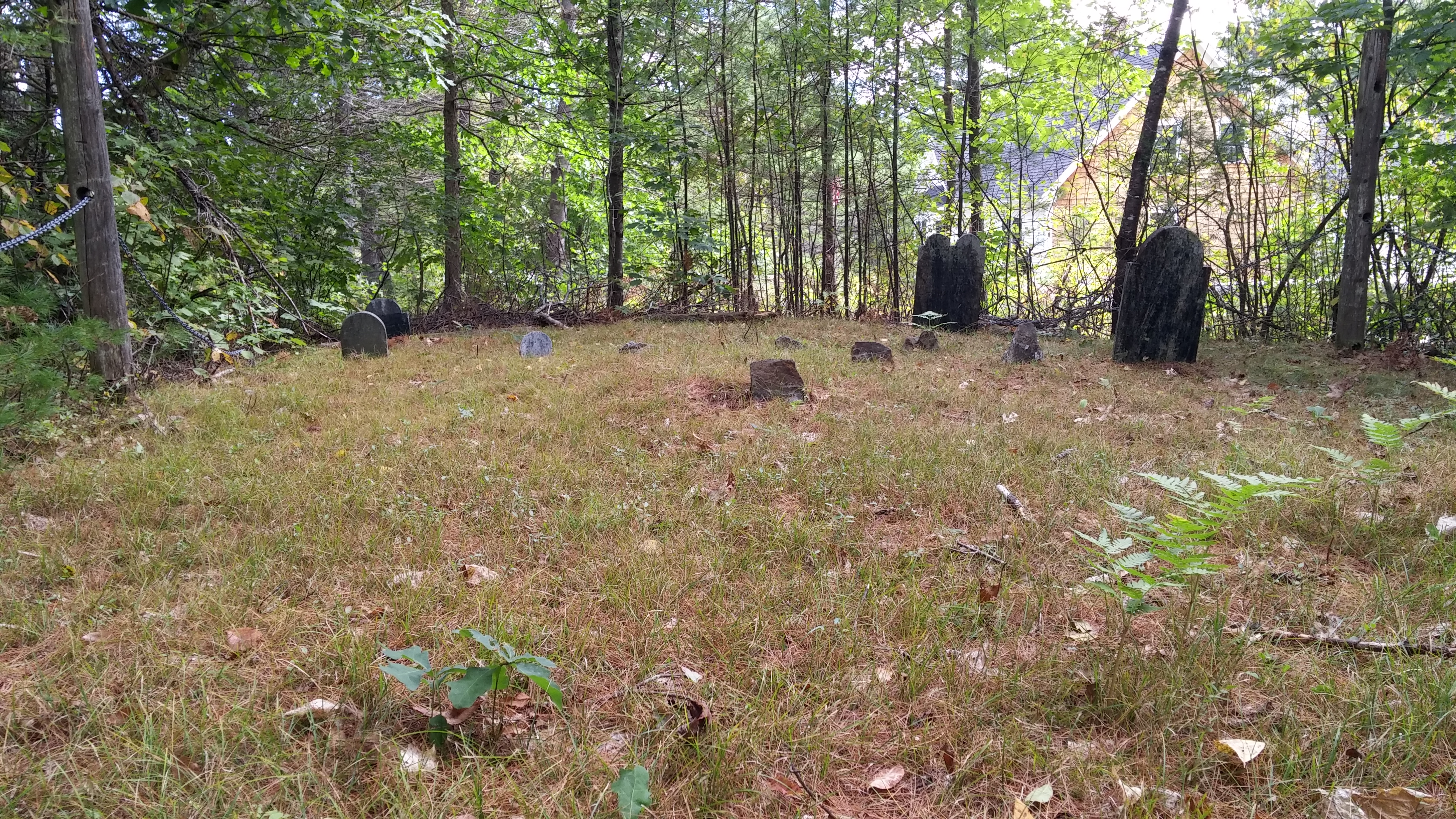
| Description | : | Church Hill Cemetery is located about 1/2 mile in the woods just south of Rt 175. In 1760 it was on the main road through Holderness to Plymouth. The road can still be traced over the summit of Hicks Hill Rd. to the North Ashland Road. At one time several log cabins were located on this road. it was to be the center of the new township, so the cemetery was established, but the center was never developed. The area of the mills in Ashland and Livermore Falls saw the development instead. This site... Read More |
frequently asked questions (FAQ):
-
Where is Church Hill Cemetery?
Church Hill Cemetery is located at Blue Sky Road Ashland, Grafton County ,New Hampshire , 03217USA.
-
Church Hill Cemetery cemetery's updated grave count on graveviews.com?
10 memorials
-
Where are the coordinates of the Church Hill Cemetery?
Latitude: 43.7455560
Longitude: -71.6522220
Nearby Cemetories:
1. Trinity Churchyard Cemetery
Holderness, Grafton County, USA
Coordinate: 43.7566000, -71.6696700
2. Owl Brook Cemetery
Ashland, Grafton County, USA
Coordinate: 43.7333200, -71.6300100
3. Lower Intervale Cemetery
Plymouth, Grafton County, USA
Coordinate: 43.7316100, -71.6733800
4. Shaw Cemetery
Holderness, Grafton County, USA
Coordinate: 43.7436110, -71.6225000
5. Hicks Hill Cemetery
Ashland, Grafton County, USA
Coordinate: 43.7277780, -71.6313890
6. Sanborn Cemetery
Holderness, Grafton County, USA
Coordinate: 43.7612800, -71.6050600
7. Riverside Cemetery
Plymouth, Grafton County, USA
Coordinate: 43.7736000, -71.6908100
8. Union Cemetery
Bridgewater, Grafton County, USA
Coordinate: 43.7093500, -71.6763500
9. Clark Cemetery
Ashland, Grafton County, USA
Coordinate: 43.7133330, -71.6113890
10. Howe-Clark Cemetery
Grafton County, USA
Coordinate: 43.7133330, -71.6113890
11. Mitchell Family Cemetery
Bridgewater, Grafton County, USA
Coordinate: 43.7052780, -71.6838890
12. Mooney Cemetery
Ashland, Grafton County, USA
Coordinate: 43.7019440, -71.6269440
13. Squam Bridge Cemetery
Holderness, Grafton County, USA
Coordinate: 43.7316500, -71.5887200
14. Green Grove Cemetery
Ashland, Grafton County, USA
Coordinate: 43.6975400, -71.6401500
15. Thompson Street Cemetery
Ashland, Grafton County, USA
Coordinate: 43.6975100, -71.6294000
16. Ashland Episcopal Church Cemetery
Ashland, Grafton County, USA
Coordinate: 43.6963650, -71.6315670
17. Dearborn Cemetery
Plymouth, Grafton County, USA
Coordinate: 43.7597220, -71.7213890
18. Baker Cemetery
Ashland, Grafton County, USA
Coordinate: 43.6941990, -71.6254580
19. Prescott Cemetery
Holderness, Grafton County, USA
Coordinate: 43.7546400, -71.5682400
20. Kenfield Cemetery
Bridgewater, Grafton County, USA
Coordinate: 43.6837070, -71.6503550
21. Burleigh-Carr Cemetery
Holderness, Grafton County, USA
Coordinate: 43.7583600, -71.5675200
22. Blair Cemetery
Campton, Grafton County, USA
Coordinate: 43.8111000, -71.6603012
23. Bartlett Cemetery
Plymouth, Grafton County, USA
Coordinate: 43.7542400, -71.7436200
24. Pleasant Valley Cemetery
Plymouth, Grafton County, USA
Coordinate: 43.7741300, -71.7364600