
| Memorials | : | 0 |
| Location | : | Church Hill, Jefferson County, USA |
| Coordinate | : | 31.7362600, -91.2239200 |
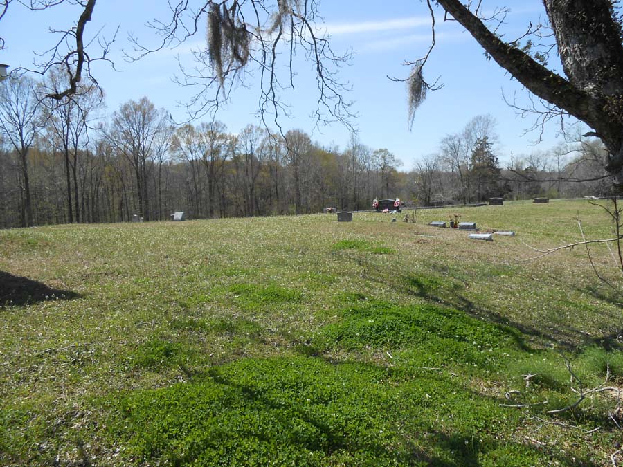
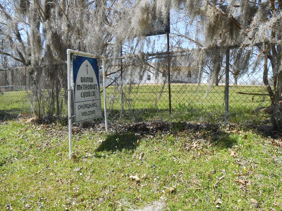
| Description | : | This Church was organized in 1946. The cemetery is located directly behind the church. Section 37, T9N, R1W |
frequently asked questions (FAQ):
-
Where is Church Hill United Methodist Church Cemetery?
Church Hill United Methodist Church Cemetery is located at Church Hill, Jefferson County ,Mississippi ,USA.
-
Church Hill United Methodist Church Cemetery cemetery's updated grave count on graveviews.com?
0 memorials
-
Where are the coordinates of the Church Hill United Methodist Church Cemetery?
Latitude: 31.7362600
Longitude: -91.2239200
Nearby Cemetories:
1. Green Cemetery
Jefferson County, USA
Coordinate: 31.7411200, -91.2248800
2. Mercy Seat Baptist Church Cemetery
Church Hill, Jefferson County, USA
Coordinate: 31.7269400, -91.2307100
3. Brooks Cemetery
Jefferson County, USA
Coordinate: 31.7208004, -91.2182999
4. Christ Episcopal Church Cemetery
Church Hill, Jefferson County, USA
Coordinate: 31.7152996, -91.2386169
5. Richland Missionary Baptist Church Cemetery
Church Hill, Jefferson County, USA
Coordinate: 31.7579600, -91.2098800
6. New Zion Baptist Church Cemetery
Church Hill, Jefferson County, USA
Coordinate: 31.7582900, -91.2006100
7. Green Family Cemetery
Jefferson County, USA
Coordinate: 31.7455997, -91.1905975
8. Original Smithland Baptist Church Cemetery
Church Hill, Jefferson County, USA
Coordinate: 31.7408300, -91.2662000
9. Davis Sisters Gravesite
Church Hill, Jefferson County, USA
Coordinate: 31.7240100, -91.1786100
10. Donahue Plantation Cemetery
Church Hill, Jefferson County, USA
Coordinate: 31.7279300, -91.1767100
11. Tenner Family Cemetery
Church Hill, Jefferson County, USA
Coordinate: 31.7007400, -91.1884500
12. Calviton Cemetery
Rodney, Jefferson County, USA
Coordinate: 31.7728300, -91.1871300
13. Krize Family Cemetery
Church Hill, Jefferson County, USA
Coordinate: 31.6877400, -91.2332100
14. Bullen Cemetery
Jefferson County, USA
Coordinate: 31.7313995, -91.1660995
15. Gold Mount Baptist Church Cemetery
Jefferson County, USA
Coordinate: 31.7865120, -91.2098070
16. Galtney - Noland Cemetery
Jefferson County, USA
Coordinate: 31.7865500, -91.2099200
17. John Jones Cemetery
Church Hill, Jefferson County, USA
Coordinate: 31.6804400, -91.2179800
18. Mount Locust Slave Cemetery
Cannonsburg, Jefferson County, USA
Coordinate: 31.6871200, -91.1914400
19. Chamberlain Cemetery
Cannonsburg, Jefferson County, USA
Coordinate: 31.6858006, -91.1913986
20. Jefferson Chapel A.M.E. Church Cemetery
Jefferson County, USA
Coordinate: 31.6789900, -91.2348000
21. Adams Cemetery
Jefferson County, USA
Coordinate: 31.6907997, -91.2703018
22. Magruder-Drake Family Cemetery
Church Hill, Jefferson County, USA
Coordinate: 31.6807300, -91.2555200
23. Mount Israel Baptist Church Cemetery
Fayette, Jefferson County, USA
Coordinate: 31.7793700, -91.1698900
24. Linwood Baptist Church Cemetery
Church Hill, Jefferson County, USA
Coordinate: 31.6834200, -91.2670800