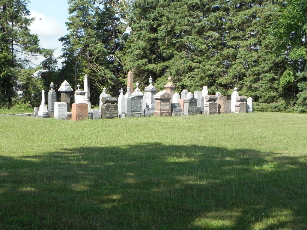
| Memorials | : | 1 |
| Location | : | Arthur, Wellington County, Canada |
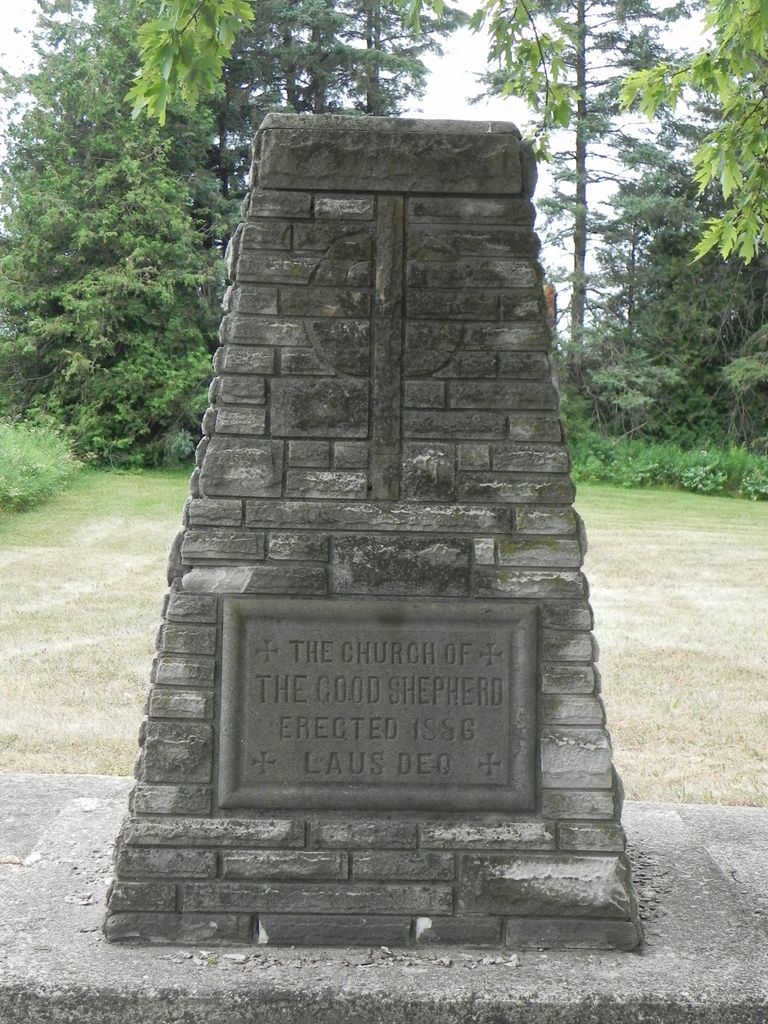
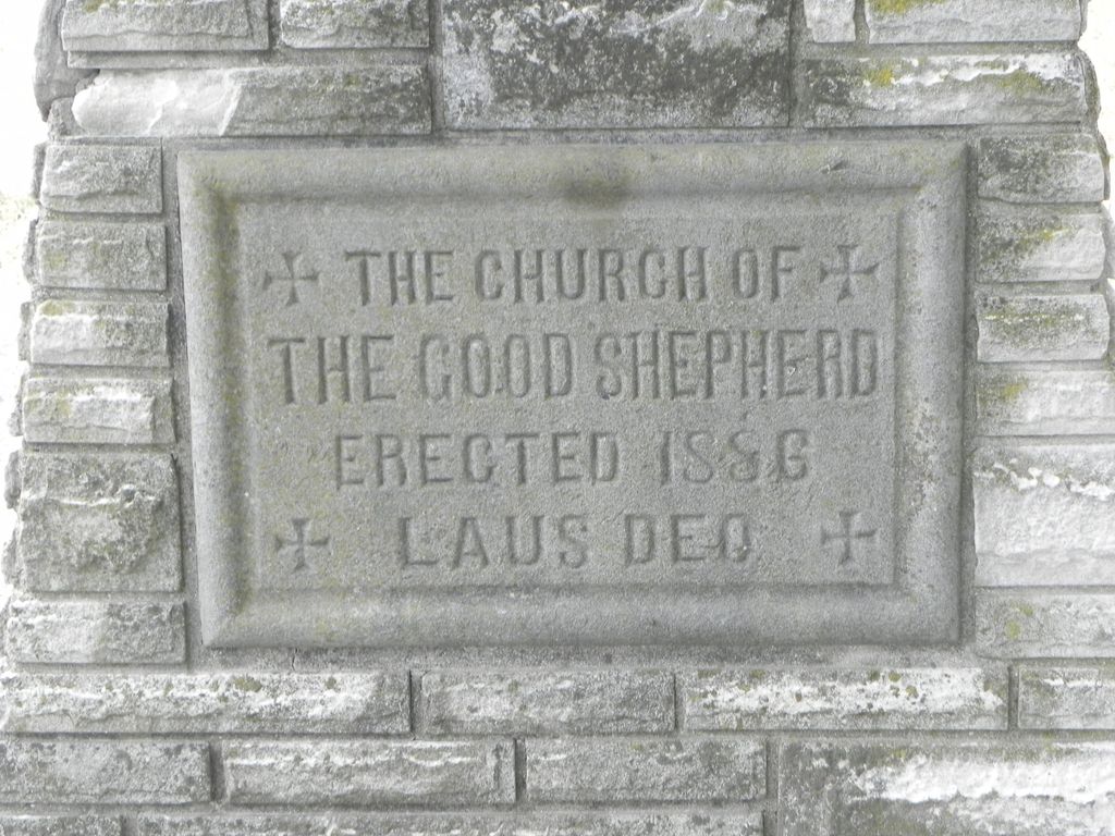
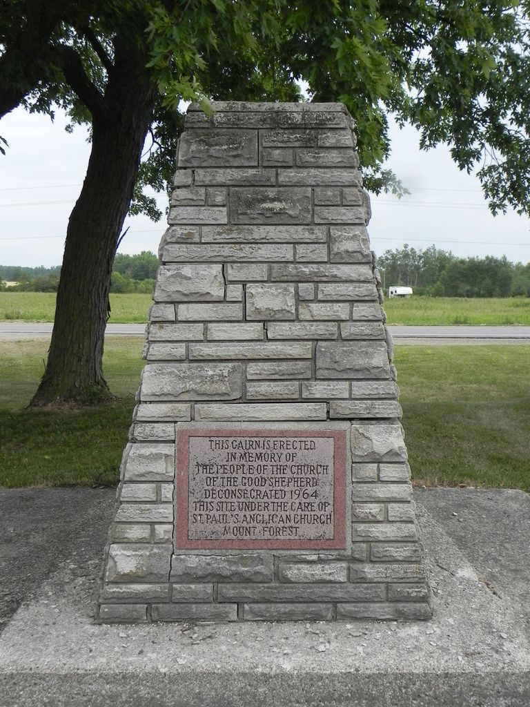
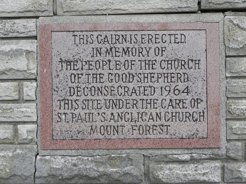
| Description | : | Closed Cemetery The Church of the Good Shepherd was founded in 1872, the church building at Riverstown was erected in 1886 and deconsecrated in 1964. Stones are now collected together and arranged in a cairn. The oldest markers have been laid flat into cement. |
frequently asked questions (FAQ):
-
Where is Church of the Good Shepherd Cemetery?
Church of the Good Shepherd Cemetery is located at No GPS information available Add GPS9380 Hwy 6 South of Mount Forest Arthur, Wellington County ,Ontario ,Canada.
-
Church of the Good Shepherd Cemetery cemetery's updated grave count on graveviews.com?
1 memorials
Nearby Cemetories:
1. Maple View Mennonite Cemetery
Alma, Wellington County, Canada
Coordinate: 43.6863861, -80.5634460
2. Arkell United Church Cemetery
Arkell, Wellington County, Canada
Coordinate: 43.4236600, -80.1533300
3. Greenfield Cemetery
Arthur, Wellington County, Canada
Coordinate: 43.7525000, -80.6641670
4. Saint John the Evangelist Roman Catholic Cemetery
Arthur, Wellington County, Canada
Coordinate: 43.7651972, -80.6629083
5. Ballinafad Cemetery
Ballinafad, Wellington County, Canada
Coordinate: 43.7973382, -80.6375023
6. Mount Carmel Cemetery
Belwood, Wellington County, Canada
Coordinate: 43.5724940, -80.1523020
7. Bethel Pioneer Cemetery
Wellington County, Canada
Coordinate: 43.6720009, -80.5111160
8. Berea Mennonite Cemetery
Bosworth, Wellington County, Canada
Coordinate: 43.6876259, -80.4413986
9. Bloomsbury Methodist Cemetery
Centre Wellington Township, Wellington County, Canada
10. Mount Pleasant Cemetery
Centre Wellington Township, Wellington County, Canada
Coordinate: 43.6756940, -80.4300500
11. Coningsby Cemetery
Coningsby, Wellington County, Canada
Coordinate: 43.6868510, -80.4414870
12. Meadowside Mennonite
Conn, Wellington County, Canada
Coordinate: 43.6913500, -80.3954600
13. Creek Bank Mennonite Cemetery
Creek Bank, Wellington County, Canada
Coordinate: 43.6863861, -80.5634460
14. Sunset Mindepark
Crieff, Wellington County, Canada
Coordinate: 43.4236600, -80.1533300
15. Drayton Methodist Church and Cemetery
Drayton, Wellington County, Canada
Coordinate: 43.7525000, -80.6641670
16. Drayton Victoria Cemetery
Drayton, Wellington County, Canada
Coordinate: 43.7651972, -80.6629083
17. Zion United Church Cemetery
Drayton, Wellington County, Canada
Coordinate: 43.7973382, -80.6375023
18. Eden Mills Cemetery
Eden Mills, Wellington County, Canada
Coordinate: 43.5724940, -80.1523020
19. Bethel Mennonite Cemetery
Elora, Wellington County, Canada
Coordinate: 43.6720009, -80.5111160
20. Elora Cemetery
Elora, Wellington County, Canada
Coordinate: 43.6876259, -80.4413986
21. Municipal Cemetery
Elora, Wellington County, Canada
22. Saint John the Evangelist Anglican Cairn
Elora, Wellington County, Canada
Coordinate: 43.6756940, -80.4300500
23. St. Mary's Roman Catholic Cemetery
Elora, Wellington County, Canada
Coordinate: 43.6868510, -80.4414870
24. Wellington County Cemetery
Elora, Wellington County, Canada
Coordinate: 43.6913500, -80.3954600

