
| Memorials | : | 0 |
| Location | : | Clare, St Edmundsbury Borough, England |
| Coordinate | : | 52.0780200, 0.5839600 |
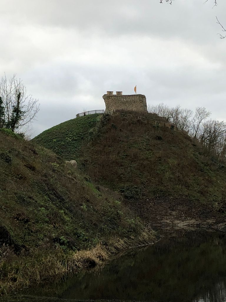
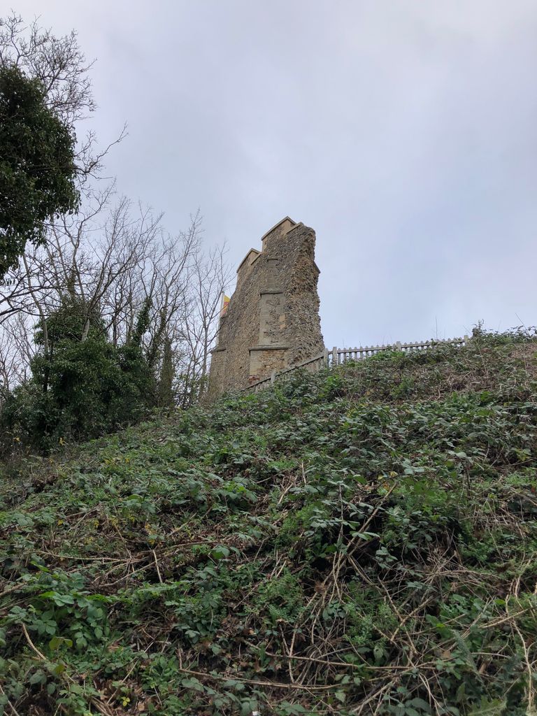
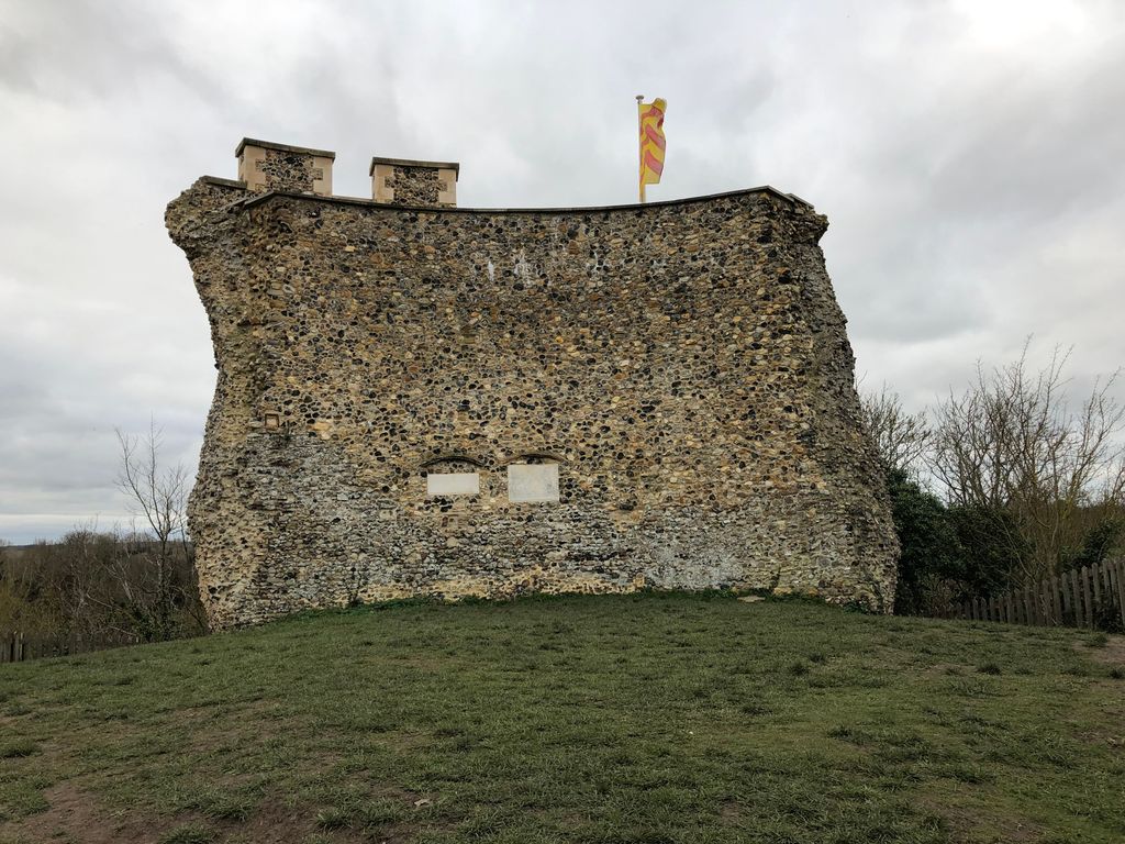
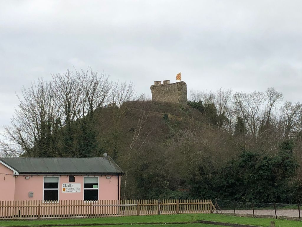
| Description | : | Clare Castle was built between the River Stour and the Chilton Stream and took the form of a motte and bailey design, with two baileys rather than the more common one. The motte is 850 feet (259 m) wide at the base and 100 feet (30 m) tall, with its flat summit 63 feet (19 m) across. The two baileys, stretching alongside from the motte along the north and east, were protected by deep ditches and steep palisades, with either a causeway or a drawbridge linking the inner to the outer bailey; the inner bailey was also sheltered by the... Read More |
frequently asked questions (FAQ):
-
Where is Clare Castle?
Clare Castle is located at 1 Malting Lane Clare, St Edmundsbury Borough ,Suffolk ,England.
-
Clare Castle cemetery's updated grave count on graveviews.com?
0 memorials
-
Where are the coordinates of the Clare Castle?
Latitude: 52.0780200
Longitude: 0.5839600

Nearby Cemetories:
1. Clare Baptist Church Cemetery
Clare, St Edmundsbury Borough, England
Coordinate: 52.0788845, 0.5850638
2. Saint Peter and Saint Paul Churchyard
Clare, St Edmundsbury Borough, England
Coordinate: 52.0791940, 0.5810000
3. Clare United Reformed Churchyard
Clare, St Edmundsbury Borough, England
Coordinate: 52.0772850, 0.5796790
4. Clare Priory
Clare, St Edmundsbury Borough, England
Coordinate: 52.0748070, 0.5803770
5. Clare Parish Cemetery
Clare, St Edmundsbury Borough, England
Coordinate: 52.0786332, 0.5776441
6. St Mary Churchyard
Poslingford, St Edmundsbury Borough, England
Coordinate: 52.1037270, 0.5828460
7. St. Mary's Churchyard
Ovington, Braintree District, England
Coordinate: 52.0533560, 0.5702170
8. St. Andrew's Churchyard
Belchamp St Paul, Braintree District, England
Coordinate: 52.0603760, 0.6218040
9. Cavendish Cemetery
Cavendish, St Edmundsbury Borough, England
Coordinate: 52.0868470, 0.6310620
10. St. Mary the Virgin Churchyard
Cavendish, St Edmundsbury Borough, England
Coordinate: 52.0873318, 0.6334569
11. Stoke By Clare Cemetery
Stoke by Clare, St Edmundsbury Borough, England
Coordinate: 52.0606440, 0.5401832
12. St. John the Baptist Churchyard
Stoke by Clare, St Edmundsbury Borough, England
Coordinate: 52.0611200, 0.5382400
13. St. Augustine of Canterbury
Sudbury, Babergh District, England
Coordinate: 52.0516232, 0.5474628
14. St. George and St. Gregory Churchyard
Pentlow, Braintree District, England
Coordinate: 52.0841020, 0.6441840
15. All Saints Churchyard
Hundon, St Edmundsbury Borough, England
Coordinate: 52.1097420, 0.5375940
16. St. Ethelbert and All Saints Churchyard
Belchamp Otten, Braintree District, England
Coordinate: 52.0449040, 0.6281640
17. Hundon Chapel
Hundon, St Edmundsbury Borough, England
Coordinate: 52.1106800, 0.5362500
18. St Margaret Churchyard
Tilbury Juxta Clare, Braintree District, England
Coordinate: 52.0331090, 0.5636180
19. St. Lawrence Churchyard
Ridgewell, Braintree District, England
Coordinate: 52.0392160, 0.5352880
20. St John the Baptist Churchyard
Little Yeldham, Braintree District, England
Coordinate: 52.0258700, 0.5917900
21. St Leonard Churchyard
Wixoe, St Edmundsbury Borough, England
Coordinate: 52.0586770, 0.5045560
22. Ebenezer Baptist Chapel Burial Ground
Glemsford, Babergh District, England
Coordinate: 52.0957000, 0.6680000
23. Ss Peter and Paul Churchyard
Foxearth, Braintree District, England
Coordinate: 52.0709200, 0.6763800
24. St. Andrew’s Churchyard
Great Yeldham, Braintree District, England
Coordinate: 52.0185990, 0.5602390