
| Memorials | : | 0 |
| Location | : | Clare, St Edmundsbury Borough, England |
| Phone | : | 81284763590 |
| Coordinate | : | 52.0772850, 0.5796790 |
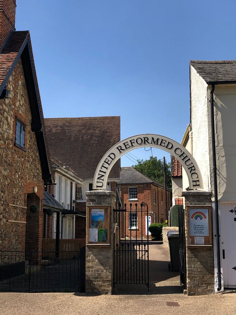
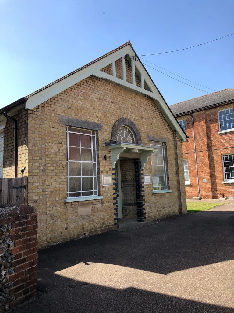
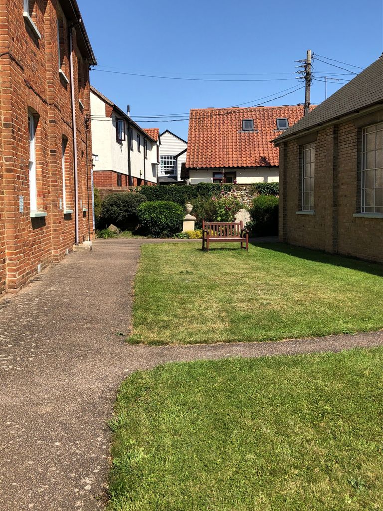
| Description | : | In 1645, Rogers Cook was appointed as “Minister of Clare” and the worshippers were known as “Presbyterians” as meetings were held in his own home. In 1662, the Anglican Vicar of Hundon, Rev. Francis Crow, then because Clare’s Independent minister. The first chapel was then constructed in 1710 away from public view. As of this writing, no one seems to know when the first churchyard burial occurred. In 1841, the present chapel was rebuilt on top of the existing churchyard. This continues under part of the present church building, and a later note in the burial register comments 'there... Read More |
frequently asked questions (FAQ):
-
Where is Clare United Reformed Churchyard?
Clare United Reformed Churchyard is located at 37 Nethergate Street Clare, St Edmundsbury Borough ,Suffolk , CO10 8NPEngland.
-
Clare United Reformed Churchyard cemetery's updated grave count on graveviews.com?
0 memorials
-
Where are the coordinates of the Clare United Reformed Churchyard?
Latitude: 52.0772850
Longitude: 0.5796790
Nearby Cemetories:
1. Clare Parish Cemetery
Clare, St Edmundsbury Borough, England
Coordinate: 52.0786332, 0.5776441
2. Saint Peter and Saint Paul Churchyard
Clare, St Edmundsbury Borough, England
Coordinate: 52.0791940, 0.5810000
3. Clare Priory
Clare, St Edmundsbury Borough, England
Coordinate: 52.0748070, 0.5803770
4. Clare Castle
Clare, St Edmundsbury Borough, England
Coordinate: 52.0780200, 0.5839600
5. Clare Baptist Church Cemetery
Clare, St Edmundsbury Borough, England
Coordinate: 52.0788845, 0.5850638
6. St. Mary's Churchyard
Ovington, Braintree District, England
Coordinate: 52.0533560, 0.5702170
7. St Mary Churchyard
Poslingford, St Edmundsbury Borough, England
Coordinate: 52.1037270, 0.5828460
8. Stoke By Clare Cemetery
Stoke by Clare, St Edmundsbury Borough, England
Coordinate: 52.0606440, 0.5401832
9. St. John the Baptist Churchyard
Stoke by Clare, St Edmundsbury Borough, England
Coordinate: 52.0611200, 0.5382400
10. St. Andrew's Churchyard
Belchamp St Paul, Braintree District, England
Coordinate: 52.0603760, 0.6218040
11. St. Augustine of Canterbury
Sudbury, Babergh District, England
Coordinate: 52.0516232, 0.5474628
12. Cavendish Cemetery
Cavendish, St Edmundsbury Borough, England
Coordinate: 52.0868470, 0.6310620
13. St. Mary the Virgin Churchyard
Cavendish, St Edmundsbury Borough, England
Coordinate: 52.0873318, 0.6334569
14. St. George and St. Gregory Churchyard
Pentlow, Braintree District, England
Coordinate: 52.0841020, 0.6441840
15. All Saints Churchyard
Hundon, St Edmundsbury Borough, England
Coordinate: 52.1097420, 0.5375940
16. Hundon Chapel
Hundon, St Edmundsbury Borough, England
Coordinate: 52.1106800, 0.5362500
17. St. Ethelbert and All Saints Churchyard
Belchamp Otten, Braintree District, England
Coordinate: 52.0449040, 0.6281640
18. St Margaret Churchyard
Tilbury Juxta Clare, Braintree District, England
Coordinate: 52.0331090, 0.5636180
19. St. Lawrence Churchyard
Ridgewell, Braintree District, England
Coordinate: 52.0392160, 0.5352880
20. St Leonard Churchyard
Wixoe, St Edmundsbury Borough, England
Coordinate: 52.0586770, 0.5045560
21. St John the Baptist Churchyard
Little Yeldham, Braintree District, England
Coordinate: 52.0258700, 0.5917900
22. Ebenezer Baptist Chapel Burial Ground
Glemsford, Babergh District, England
Coordinate: 52.0957000, 0.6680000
23. St Peter and St Paul Churchyard
Kedington, St Edmundsbury Borough, England
Coordinate: 52.0953040, 0.4876180
24. Ss Peter and Paul Churchyard
Foxearth, Braintree District, England
Coordinate: 52.0709200, 0.6763800