
| Memorials | : | 0 |
| Location | : | Muhlenberg County, USA |
| Coordinate | : | 37.1317270, -86.9755410 |
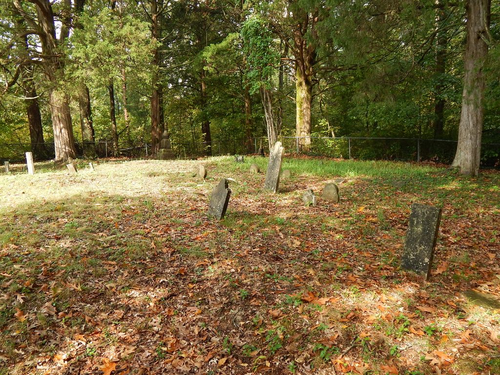
| Description | : | Clark Cemetery is located in southern Muhlenberg County down toward Logan County. Starting at Central City: Take the 1st left onto US-431 2nd St Follow US-431 South 13.6 miles Turn left onto Union Ridge Rd continue on Union Ridge Rd Keep right at the fork, and continue to follow Union Ridge Rd About 1 mile after the fork there will be a bridge over the Rocky Creek. The Cemetery is a few hundred feet past the bridge on the north side (left) of the road. http://uglybridges.com/1217520 Marion G. Hammers directions circa 1970 On a map, trace 431 south from Central City to Twin Tunnels. The location, according... Read More |
frequently asked questions (FAQ):
-
Where is Clark Cemetery?
Clark Cemetery is located at Muhlenberg County ,Kentucky ,USA.
-
Clark Cemetery cemetery's updated grave count on graveviews.com?
0 memorials
-
Where are the coordinates of the Clark Cemetery?
Latitude: 37.1317270
Longitude: -86.9755410
Nearby Cemetories:
1. Peter Baker Family Cemetery
Penrod, Muhlenberg County, USA
Coordinate: 37.1215300, -86.9884700
2. Penrod Family Cemetery
Muhlenberg County, USA
Coordinate: 37.1155680, -86.9812490
3. Mud River Mine Cemetery
Gus, Muhlenberg County, USA
Coordinate: 37.1375200, -86.9500030
4. Hortons Chapel Church of Christ Cemetery
Belton, Muhlenberg County, USA
Coordinate: 37.1379780, -87.0018570
5. Union Ridge Cemetery
Penrod, Muhlenberg County, USA
Coordinate: 37.1368860, -87.0027030
6. Penrod Baptist Church Cemetery
Penrod, Muhlenberg County, USA
Coordinate: 37.1132202, -86.9982071
7. Mud River Union Cemetery
Belton, Muhlenberg County, USA
Coordinate: 37.1617050, -86.9784720
8. James Cemetery
Penrod, Muhlenberg County, USA
Coordinate: 37.1110850, -87.0049810
9. Mount Moriah Church Cemetery
Penrod, Muhlenberg County, USA
Coordinate: 37.1069090, -86.9410800
10. Smith-Revlett Cemetery
Ennis, Muhlenberg County, USA
Coordinate: 37.1732972, -86.9601167
11. Hughes Cemetery
Dunmor, Muhlenberg County, USA
Coordinate: 37.0881000, -86.9661000
12. Myers Chapel Cemetery
Muhlenberg County, USA
Coordinate: 37.1056040, -87.0257630
13. Hope Cemetery
Dunmor, Muhlenberg County, USA
Coordinate: 37.0894100, -86.9446400
14. Forest Oak Cemetery
Belton, Muhlenberg County, USA
Coordinate: 37.1753300, -86.9450250
15. New Hebron Hunt Cemetery
Muhlenberg County, USA
Coordinate: 37.1030760, -86.9230130
16. Bell Family Cemetery
Belton, Muhlenberg County, USA
Coordinate: 37.1504140, -87.0377300
17. Old Hebron Cemetery
Muhlenberg County, USA
Coordinate: 37.1100800, -86.9107580
18. DeArmond Cemetery
Muhlenberg County, USA
Coordinate: 37.0753220, -86.9702740
19. Dearmond Cemetery
Muhlenberg County, USA
Coordinate: 37.0752983, -86.9702988
20. Hazel Creek Baptist Church Cemetery
Belton, Muhlenberg County, USA
Coordinate: 37.1471770, -87.0453710
21. Dunmor Cemetery
Dunmor, Muhlenberg County, USA
Coordinate: 37.0721626, -86.9983292
22. Greenhill-Tater Hill Cemetery
Huntsville, Butler County, USA
Coordinate: 37.1475300, -86.8929900
23. Audas Cemetery
Logan County, USA
Coordinate: 37.0659540, -86.9987760
24. Allen's Chapel Cemetery
Ennis, Muhlenberg County, USA
Coordinate: 37.2000100, -86.9714400