
| Memorials | : | 682 |
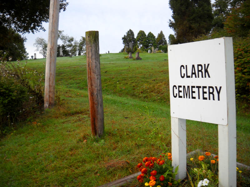
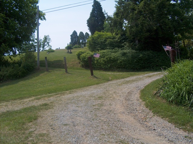
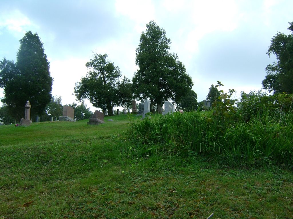
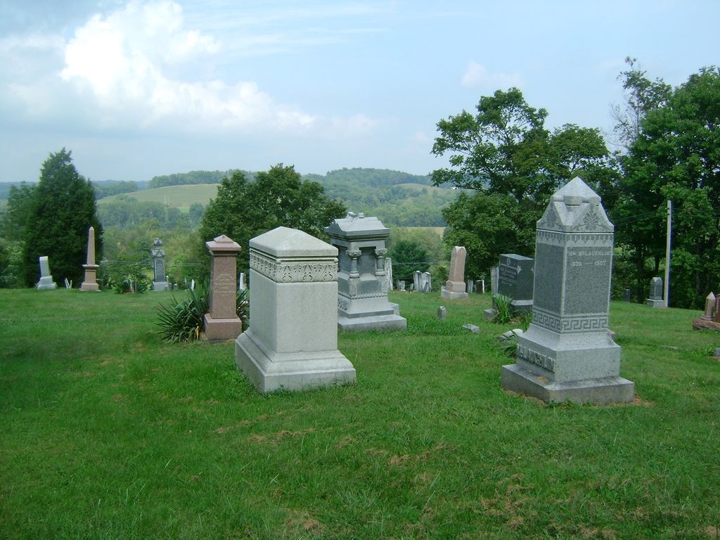
| Location | : | Clark, Coshocton County, USA |
| Coordinate | : | 40.4444008, -81.8968964 |
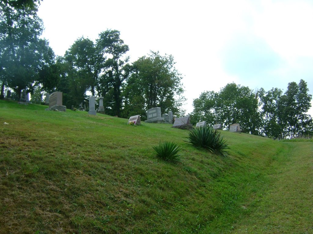
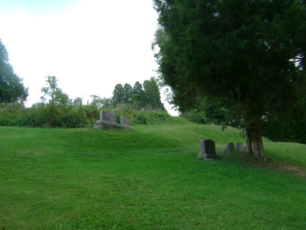
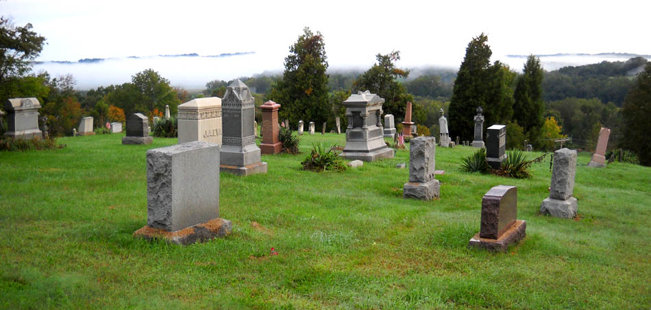
| Description | : | The cemetery is located on the west side of Ohio State Route 83 about 0.2 mile east of its intersection with Township Road 222. The cemetery is 3 acres in size. The cemetery is located in Clark Township, Coshocton County, Ohio, and is # 2208 (Clark Cemetery) in “Ohio Cemeteries 1803-2003”, compiled by the Ohio Genealogical Society. The cemetery is registered with the Ohio Division of Real Estate and Professional Licensing (ODRE) as Clark Cemetery with registration license number CGR.0000982810. The U.S. Geological Survey (USGS) Geographic Names Information System (GNIS) feature ID for the cemetery is 1039138 (Clark Cemetery). |
frequently asked questions (FAQ):
-
Where is Clark Cemetery?
Clark Cemetery is located at Ohio State Route 83 Clark, Coshocton County ,Ohio , 44654USA.
-
Clark Cemetery cemetery's updated grave count on graveviews.com?
681 memorials
-
Where are the coordinates of the Clark Cemetery?
Latitude: 40.4444008
Longitude: -81.8968964
Nearby Cemetories:
1. Austin Family Cemetery
Clark, Coshocton County, USA
Coordinate: 40.4422900, -81.9105570
2. G W Palmer Cemetery
Mechanic Township, Holmes County, USA
Coordinate: 40.4580500, -81.8780500
3. Gwin Cemetery
Millersburg, Holmes County, USA
Coordinate: 40.4679600, -81.9203500
4. Shepler Chapel Cemetery
Coshocton County, USA
Coordinate: 40.4288000, -81.8623000
5. Clark Township Baptist Church Cemetery
Clark, Coshocton County, USA
Coordinate: 40.4126680, -81.9229260
6. Elliott Cemetery
Millersburg, Holmes County, USA
Coordinate: 40.4804100, -81.8779700
7. Salem Cemetery
Holmes County, USA
Coordinate: 40.4500008, -81.9480972
8. Noah J Raber Farm Cemetery
Becks Mills, Holmes County, USA
Coordinate: 40.4625120, -81.8480780
9. Oakhill Cemetery
Becks Mills, Holmes County, USA
Coordinate: 40.4609985, -81.8430023
10. Lowe Cemetery
Millersburg, Holmes County, USA
Coordinate: 40.4655600, -81.8451800
11. Merryman Cemetery
Mechanic Township, Holmes County, USA
Coordinate: 40.4871860, -81.8608280
12. Fox Cemetery
Blissfield, Coshocton County, USA
Coordinate: 40.4035988, -81.9424973
13. Gray Ridge Community Fellowship Church Cemetery
Millersburg, Holmes County, USA
Coordinate: 40.5009600, -81.8956630
14. Stutzman Cemetery
Mechanic Township, Holmes County, USA
Coordinate: 40.4730220, -81.8283690
15. Asire Cemetery
Becks Mills, Holmes County, USA
Coordinate: 40.4791670, -81.8324990
16. Roman J Miller Farm Cemetery
Becks Mills, Holmes County, USA
Coordinate: 40.4649270, -81.8185090
17. Pleasant Grove Cemetery
Killbuck, Holmes County, USA
Coordinate: 40.4933900, -81.9495843
18. Knob Cemetery
Keene, Coshocton County, USA
Coordinate: 40.3863983, -81.8358002
19. Dutch Meeting House Cemetery
Warsaw, Coshocton County, USA
Coordinate: 40.3796207, -81.9459337
20. Blissfield Cemetery
Blissfield, Coshocton County, USA
Coordinate: 40.3927994, -81.9728012
21. David Barkman Farm Cemetery
Becks Mills, Holmes County, USA
Coordinate: 40.4684240, -81.7997840
22. Salem Reformed Cemetery
Saltillo, Holmes County, USA
Coordinate: 40.5133970, -81.8412480
23. Killbuck Cemetery
Killbuck, Holmes County, USA
Coordinate: 40.4958520, -81.9808390
24. Simon Miller Farm Cemetery
Holmes County, USA
Coordinate: 40.4759530, -81.7956850