| Memorials | : | 1 |
| Location | : | Clark, Coshocton County, USA |
| Coordinate | : | 40.4422900, -81.9105570 |
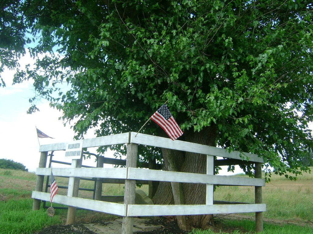
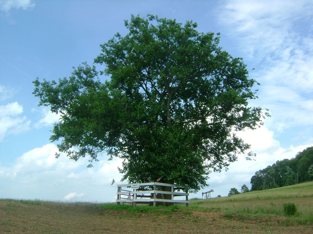
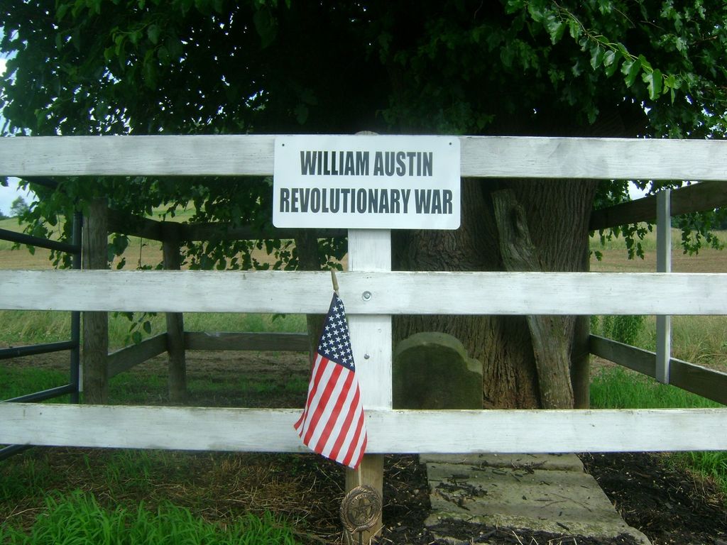
| Description | : | On TR 312 off of County Road 19 SW of Clark. Not very far after turning onto 312. On the left across the road from the farm house. Ask permission to walk across the field up to the cemetery. Only William Austin & his wife are buried there. The cemetery is located in Clark Township, Coshocton County, Ohio, and is # 14796 (Austin Cemetery / Raymond Patterson Cemetery) in “Ohio Cemeteries 1803-2003”, compiled by the Ohio Genealogical Society. |
frequently asked questions (FAQ):
-
Where is Austin Family Cemetery?
Austin Family Cemetery is located at Township Road 312 Clark, Coshocton County ,Ohio , 43812USA.
-
Austin Family Cemetery cemetery's updated grave count on graveviews.com?
1 memorials
-
Where are the coordinates of the Austin Family Cemetery?
Latitude: 40.4422900
Longitude: -81.9105570
Nearby Cemetories:
1. Clark Cemetery
Clark, Coshocton County, USA
Coordinate: 40.4444008, -81.8968964
2. Gwin Cemetery
Millersburg, Holmes County, USA
Coordinate: 40.4679600, -81.9203500
3. G W Palmer Cemetery
Mechanic Township, Holmes County, USA
Coordinate: 40.4580500, -81.8780500
4. Salem Cemetery
Holmes County, USA
Coordinate: 40.4500008, -81.9480972
5. Clark Township Baptist Church Cemetery
Clark, Coshocton County, USA
Coordinate: 40.4126680, -81.9229260
6. Shepler Chapel Cemetery
Coshocton County, USA
Coordinate: 40.4288000, -81.8623000
7. Elliott Cemetery
Millersburg, Holmes County, USA
Coordinate: 40.4804100, -81.8779700
8. Fox Cemetery
Blissfield, Coshocton County, USA
Coordinate: 40.4035988, -81.9424973
9. Noah J Raber Farm Cemetery
Becks Mills, Holmes County, USA
Coordinate: 40.4625120, -81.8480780
10. Oakhill Cemetery
Becks Mills, Holmes County, USA
Coordinate: 40.4609985, -81.8430023
11. Lowe Cemetery
Millersburg, Holmes County, USA
Coordinate: 40.4655600, -81.8451800
12. Merryman Cemetery
Mechanic Township, Holmes County, USA
Coordinate: 40.4871860, -81.8608280
13. Pleasant Grove Cemetery
Killbuck, Holmes County, USA
Coordinate: 40.4933900, -81.9495843
14. Gray Ridge Community Fellowship Church Cemetery
Millersburg, Holmes County, USA
Coordinate: 40.5009600, -81.8956630
15. Dutch Meeting House Cemetery
Warsaw, Coshocton County, USA
Coordinate: 40.3796207, -81.9459337
16. Blissfield Cemetery
Blissfield, Coshocton County, USA
Coordinate: 40.3927994, -81.9728012
17. Stutzman Cemetery
Mechanic Township, Holmes County, USA
Coordinate: 40.4730220, -81.8283690
18. Asire Cemetery
Becks Mills, Holmes County, USA
Coordinate: 40.4791670, -81.8324990
19. Roman J Miller Farm Cemetery
Becks Mills, Holmes County, USA
Coordinate: 40.4649270, -81.8185090
20. Pleasant Hill Cemetery
Coshocton County, USA
Coordinate: 40.4225006, -82.0038986
21. Big Run Cemetery
Layland, Coshocton County, USA
Coordinate: 40.4338989, -82.0081024
22. Killbuck Cemetery
Killbuck, Holmes County, USA
Coordinate: 40.4958520, -81.9808390
23. Knob Cemetery
Keene, Coshocton County, USA
Coordinate: 40.3863983, -81.8358002
24. Bucklew Cemetery
Metham, Coshocton County, USA
Coordinate: 40.3849983, -81.9858017


