
| Memorials | : | 0 |
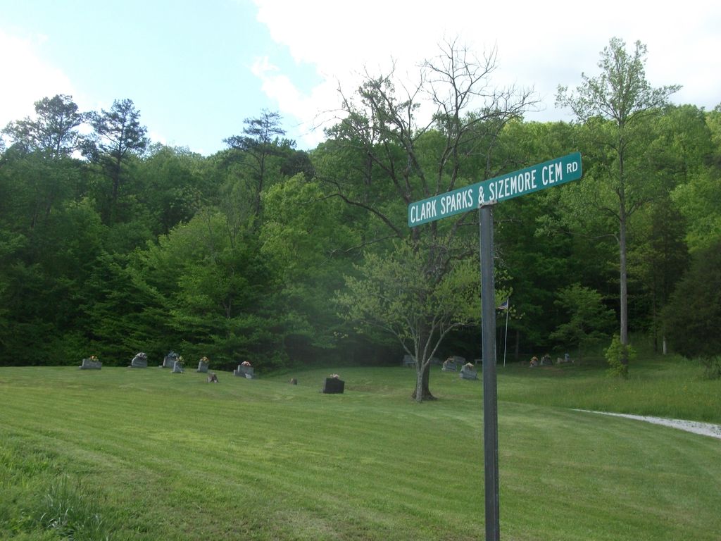
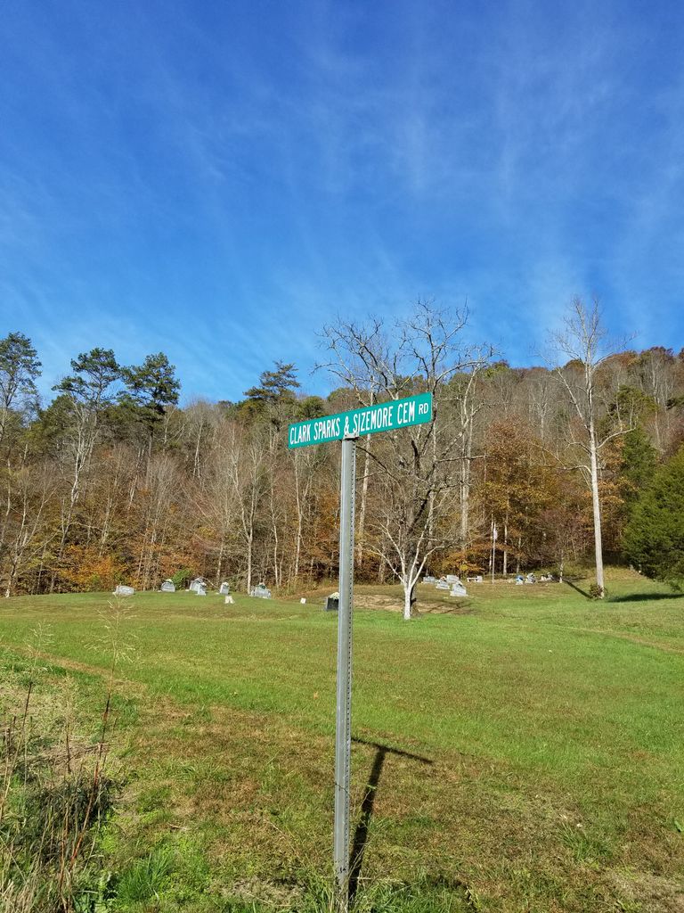
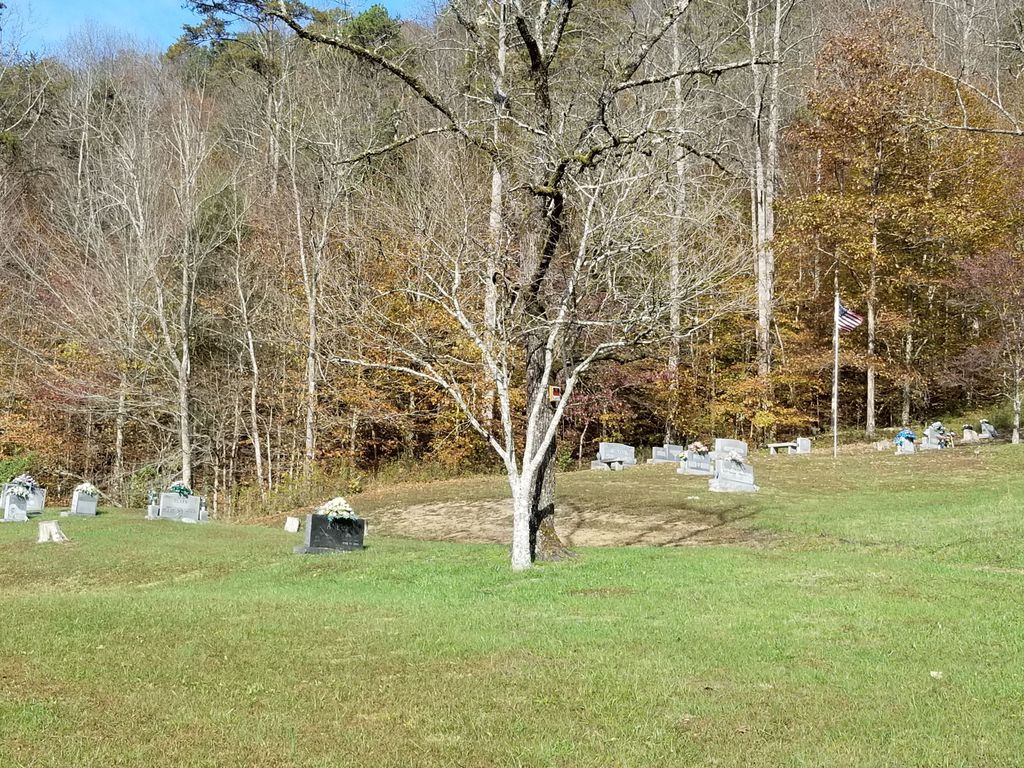
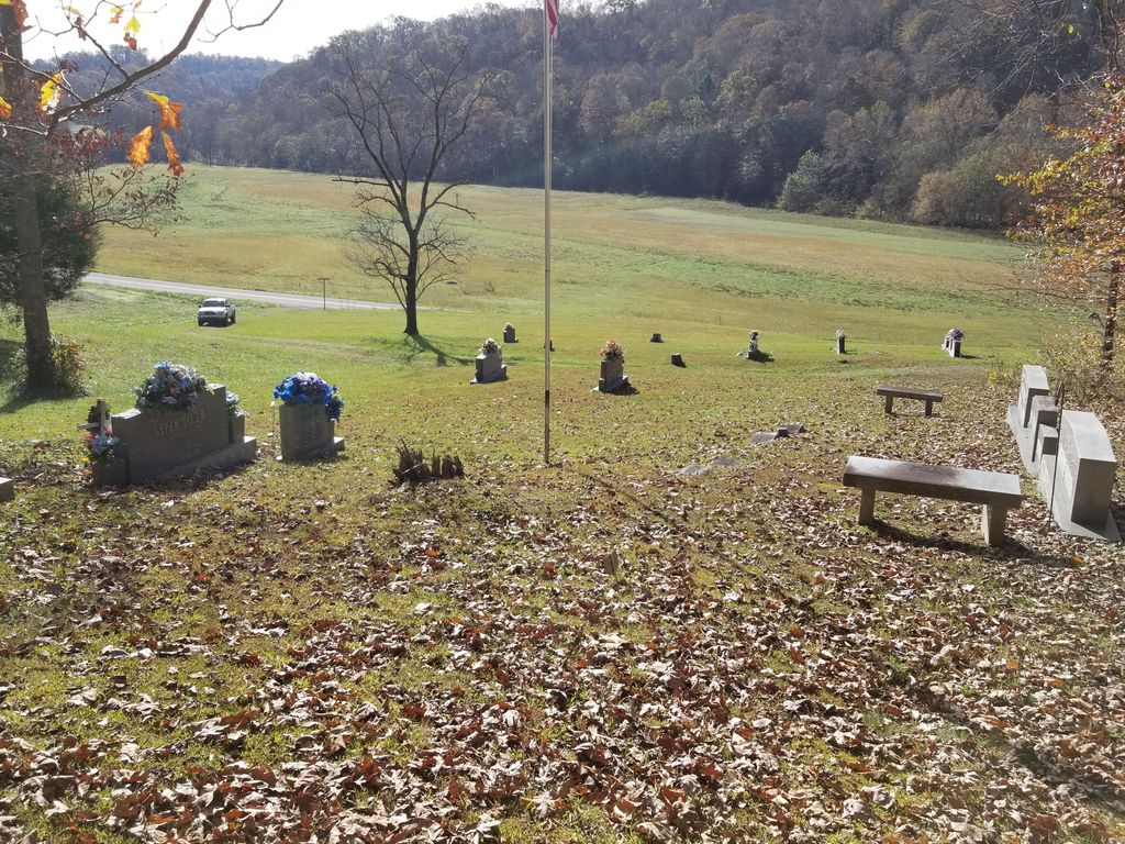
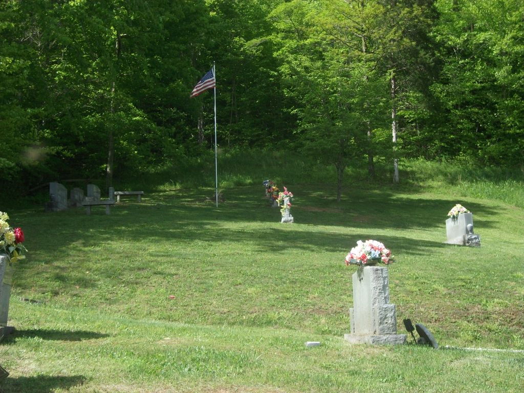
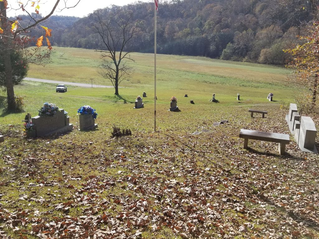
| Location | : | Sextons Creek, Clay County, USA |
| Coordinate | : | 37.3255800, -83.7441700 |
| Description | : | Take HWY 421 from Manchester, Ky., through Burning Springs, turn right on HWY 1350 go about 7 miles, pass Marcum's grocery on to 577 go about 3 or 4 miles cemetery on left. |
frequently asked questions (FAQ):
-
Where is Clark-Sparks-Sizemore Cemetery?
Clark-Sparks-Sizemore Cemetery is located at Sextons Creek, Clay County ,Kentucky ,USA.
-
Clark-Sparks-Sizemore Cemetery cemetery's updated grave count on graveviews.com?
0 memorials
-
Where are the coordinates of the Clark-Sparks-Sizemore Cemetery?
Latitude: 37.3255800
Longitude: -83.7441700

Nearby Cemetories:
1. John Metcalf Cemetery
Sextons Creek, Clay County, USA
Coordinate: 37.3303680, -83.7595050
2. Corinth Church Cemetery
Alger, Clay County, USA
Coordinate: 37.3214190, -83.7283070
3. Andy Sizemore Cemetery
Island City, Owsley County, USA
Coordinate: 37.3403830, -83.7526330
4. Virginia Metcalf Cemetery
Sextons Creek, Clay County, USA
Coordinate: 37.3294590, -83.7679720
5. Middleton Cemetery
Clay County, USA
Coordinate: 37.3314018, -83.7197037
6. Hunter Cemetery
Sextons Creek, Clay County, USA
Coordinate: 37.3266200, -83.7700300
7. Dee Metcalf Cemetery
Sextons Creek, Clay County, USA
Coordinate: 37.3258743, -83.7714386
8. Jesse Byrd Family Cemetery
Chestnutburg, Clay County, USA
Coordinate: 37.3029500, -83.7416000
9. Boggs Flat Cemeteries
Clay County, USA
Coordinate: 37.3060989, -83.7613983
10. Russell-Moore Cemetery
Felty, Clay County, USA
Coordinate: 37.3366500, -83.7141300
11. Sizemore Cemetery
Manchester, Clay County, USA
Coordinate: 37.3367000, -83.7141100
12. Cradlebow Cemetery
Chestnutburg, Clay County, USA
Coordinate: 37.3018700, -83.7590800
13. Lower Saddler Cemetery
Felty, Clay County, USA
Coordinate: 37.3142800, -83.7134700
14. George Felty Cemetery
Clay County, USA
Coordinate: 37.3142700, -83.7133600
15. Edwards Cemetery
Owsley County, USA
Coordinate: 37.3528667, -83.7525667
16. Bleve Metcalf Cemetery
Sextons Creek, Clay County, USA
Coordinate: 37.3411140, -83.7742340
17. Edwards Cemetery
Island City, Owsley County, USA
Coordinate: 37.3551833, -83.7465667
18. Saylor Cemetery
Owsley County, USA
Coordinate: 37.3551483, -83.7324677
19. Saddler Cemetery North
Felty, Clay County, USA
Coordinate: 37.3125500, -83.7076400
20. Saddler Cemetery South
Felty, Clay County, USA
Coordinate: 37.3122100, -83.7074500
21. Denver Robinson Cemetery
Clay County, USA
Coordinate: 37.2977142, -83.7646561
22. Clark Cemetery
Sextons Creek, Clay County, USA
Coordinate: 37.3148200, -83.7833000
23. George Washington Edwards Cemetery
Island City, Owsley County, USA
Coordinate: 37.3544300, -83.7238300
24. Smith Cemetery #5
Sextons Creek, Clay County, USA
Coordinate: 37.3443985, -83.7789001