
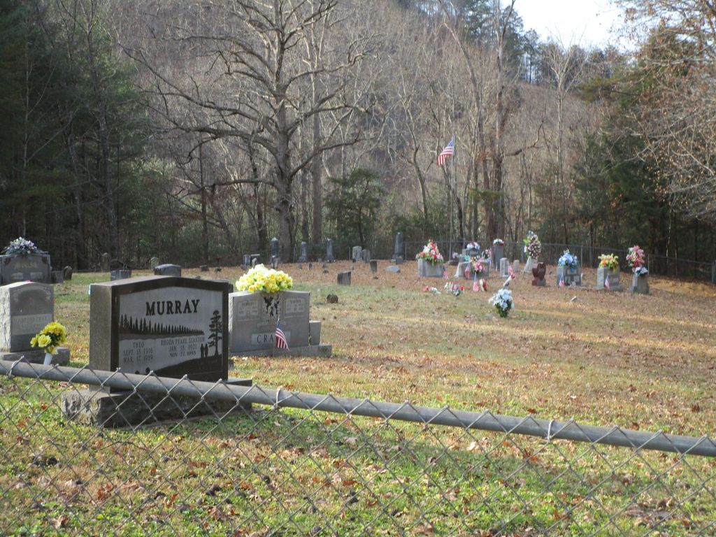
| Memorials | : | 12 |
| Location | : | Chestnutburg, Clay County, USA |
| Coordinate | : | 37.3018700, -83.7590800 |
| Description | : | From Manchester, go north on Hwy 11 past mile marker 10 and turn left on Collins Fork Road. Take the left fork (Ell’s Branch), go to the dead end, and turn right onto Cool Springs Road. Turn right at the first driveway beyond mail box 1093 and the cemetery is behind a trailer at the top of the hill. |
frequently asked questions (FAQ):
-
Where is Cradlebow Cemetery?
Cradlebow Cemetery is located at Chestnutburg, Clay County ,Kentucky ,USA.
-
Cradlebow Cemetery cemetery's updated grave count on graveviews.com?
12 memorials
-
Where are the coordinates of the Cradlebow Cemetery?
Latitude: 37.3018700
Longitude: -83.7590800
Nearby Cemetories:
1. Boggs Flat Cemeteries
Clay County, USA
Coordinate: 37.3060989, -83.7613983
2. Denver Robinson Cemetery
Clay County, USA
Coordinate: 37.2977142, -83.7646561
3. Jesse Byrd Family Cemetery
Chestnutburg, Clay County, USA
Coordinate: 37.3029500, -83.7416000
4. Ball Cemetery
Chestnutburg, Clay County, USA
Coordinate: 37.2933006, -83.7810974
5. Ray Cemetery
Chestnutburg, Clay County, USA
Coordinate: 37.2821999, -83.7632980
6. Ezekiel Sandlin Cemetery
Chestnutburg, Clay County, USA
Coordinate: 37.2796120, -83.7611280
7. Clark Cemetery
Sextons Creek, Clay County, USA
Coordinate: 37.3148200, -83.7833000
8. Dee Metcalf Cemetery
Sextons Creek, Clay County, USA
Coordinate: 37.3258743, -83.7714386
9. Hunter Cemetery
Sextons Creek, Clay County, USA
Coordinate: 37.3266200, -83.7700300
10. Clark-Sparks-Sizemore Cemetery
Sextons Creek, Clay County, USA
Coordinate: 37.3255800, -83.7441700
11. Genty Cemetery
Chestnutburg, Clay County, USA
Coordinate: 37.2971992, -83.7932968
12. Virginia Metcalf Cemetery
Sextons Creek, Clay County, USA
Coordinate: 37.3294590, -83.7679720
13. John Metcalf Cemetery
Sextons Creek, Clay County, USA
Coordinate: 37.3303680, -83.7595050
14. George W Melton Cemetery
Laurel Creek, Clay County, USA
Coordinate: 37.2714005, -83.7581024
15. Corinth Church Cemetery
Alger, Clay County, USA
Coordinate: 37.3214190, -83.7283070
16. McDaniel Cemetery
Chestnutburg, Clay County, USA
Coordinate: 37.2825012, -83.7996979
17. Lower Saddler Cemetery
Felty, Clay County, USA
Coordinate: 37.3142800, -83.7134700
18. George Felty Cemetery
Clay County, USA
Coordinate: 37.3142700, -83.7133600
19. Boston Gap Cemetery
Ammie, Clay County, USA
Coordinate: 37.2640900, -83.7490500
20. Andy Sizemore Cemetery
Island City, Owsley County, USA
Coordinate: 37.3403830, -83.7526330
21. Bleve Metcalf Cemetery
Sextons Creek, Clay County, USA
Coordinate: 37.3411140, -83.7742340
22. Saddler Cemetery North
Felty, Clay County, USA
Coordinate: 37.3125500, -83.7076400
23. Saddler Cemetery South
Felty, Clay County, USA
Coordinate: 37.3122100, -83.7074500
24. Middleton Cemetery
Clay County, USA
Coordinate: 37.3314018, -83.7197037